Our vision
We have a clear vision for a safe, sustainable, reliable and fully integrated transport network that connects people to housing, jobs and economic opportunities, and brings choice and equity to the people of Western Sydney.
The journey ahead
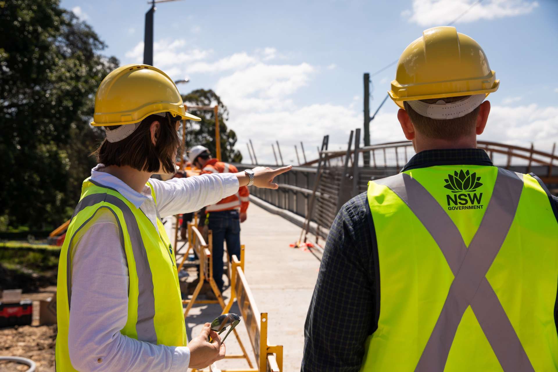
One of Australia’s largest infrastructure and city-shaping programs is underway in Western Sydney with construction of the Western Sydney International Airport and development of the 11,200-hectare Airport Precinct around it.
The demand for warehousing and commercial and industrial property has rapidly intensified, and housing shortfalls coupled with projected population growth means the Airport Precinct will be instrumental in accommodating newer and bigger warehousing and affordable housing closer to public transport.
To match unprecedented development and investment in the Precinct, we are working to transform the way new, existing and neighbouring communities and workers travel throughout the Precinct.
What is historically a rural area with limited and narrow local roads will gradually become a fully integrated transport network. This can’t happen overnight – but Transport has a clear vision for how we deliver the network in line with growth and demand over the coming decades.
Our transport vision for the Airport Precinct
Transport is more than just a road, a cycleway or a metro stop – it allows businesses to grow, and people and communities to access new jobs, new opportunities, and each other.
That’s why we are working to deliver our vision of an integrated and easy-to-use transport network that is accessible to everyone and connects seamlessly across all modes and journeys.
Our network will give more travel options and easier connections for communities, passengers, visitors, industry and businesses, and enable economic, cultural and social opportunities to flow across the Airport Precinct, Greater Sydney and the State.
Delivering our vision will take time, continued investment and a staged delivery approach that supports bringing the Airport Precinct to life while keeping pace with changing demands and evolving community needs.
The INSW Aerotropolis Sector Plan sets out sequencing for key infrastructure within the Airport Precinct and Transport will work with government partners to deliver these projects.
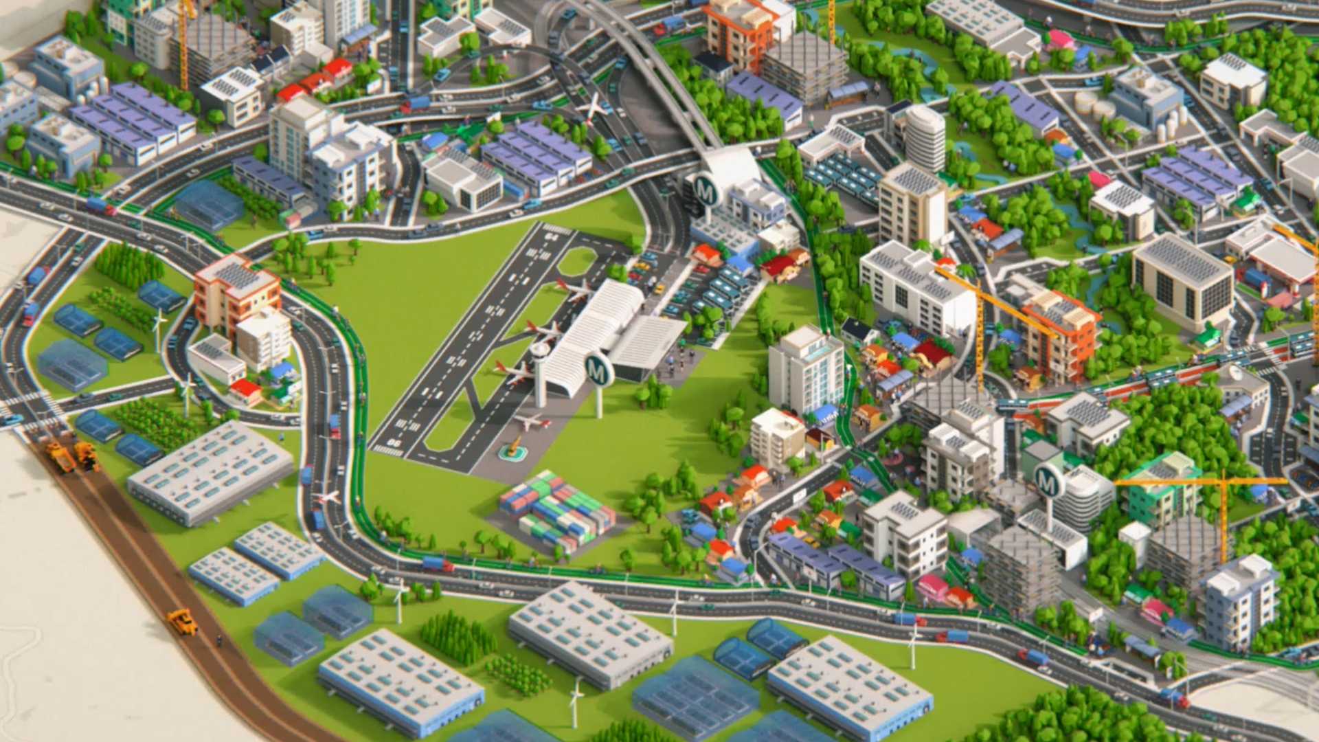
To learn more about each transport mode, click on the hotspot buttons below
Interactive map

Transport that everyone can use
Transport for people and places in need, regardless of location
Cost and convenience front of mind
Inclusive access for communities to live, thrive and grow
The public’s safety and security a top priority
Addressing disadvantage through quality transport that enables participation, inclusion, wellbeing and health
Easier connections, reliable travel
Different modes of travel, all working together
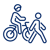
Active transport, active lives
Convenient and connected interchanges
End to end journeys
Technology-enabled services and travel choices

Connecting the Airport, the Airport Precinct, Greater Sydney and beyond
Connected regional networks that benefit regional communities
Linking visitors with key destinations and new Australian locations
Digital connectivity ensuring safe and smart places
Freight across air, road and rail linking the micro with the macro (and back again)

Underpinning it all: Safety
Safe speeds and behaviours
Reducing congestion, enabling access
Working ‘Towards Zero’
Safety of those walking and cycling
Safeguarding the existing network for communities as activity increases
Technology and innovation to improve safety, day or night