First Nations registration form
Register your interest to become a Registered Aboriginal Party for early works and measure projects.
Early works and measures
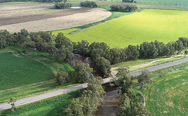
The Reconnecting River Country Program is scoping four packages of early works and measures in the Murray and Murrumbidgee.
About the Reconnecting River Country Program
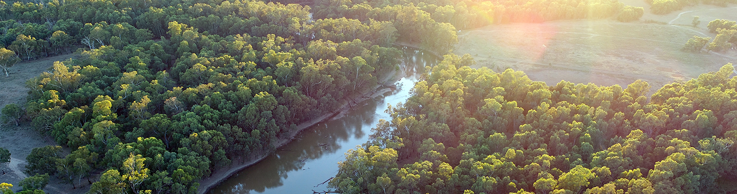
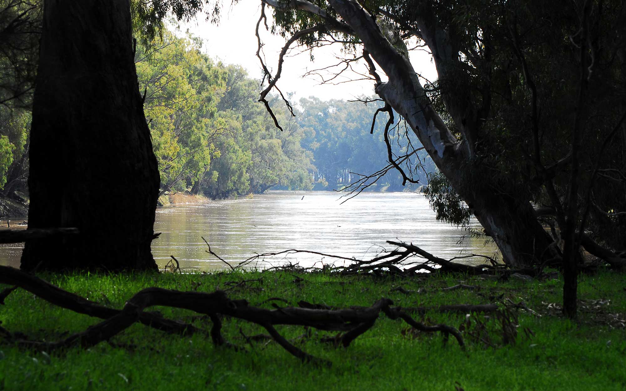
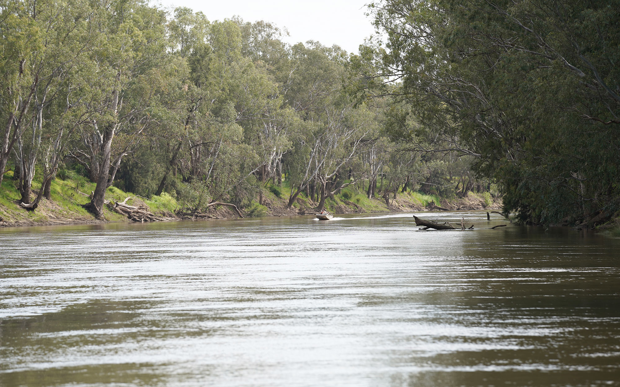
The Reconnecting River Country Program is a key Murray-Darling Basin initiative essential to creating healthier functioning river systems in the Murray and Murrumbidgee valleys.
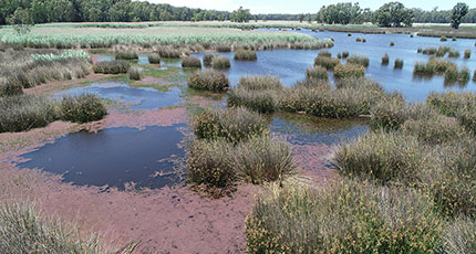
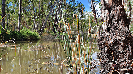
Currently, rivers connect to wetlands and floodplains less often than is needed to maintain healthy ecosystems, due to river regulation and extraction. Water for the environment aims to restore the balance, however constraints restrict the effective use of this water contributing to the continual decline of the health of Country, including the species depending on these environments to survive.
A constraint is any physical, policy or operational barrier limiting the flow of water in river systems. There are a range of flow constraints in the Basin, some examples include:
- physical restrictions such as low-lying watercourse crossings, weirs and levees
- operational restrictions such as river operation rules and practices
- policy barriers such as existing legislation.
The program is proposing to remove constraints to enable the flexible use of water for the environment to increase the frequency and extent rivers connect to their wetlands and floodplains. Removing constraints is critical to achieving the Murray-Darling Basin Plan’s improved environmental outcomes and making best use of existing water recovered from communities.
The program is currently in the development phase, and we are working with landholders, First Nations people, public land managers and local communities on key aspects of its development.
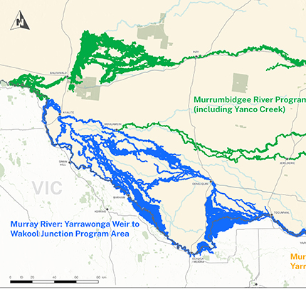
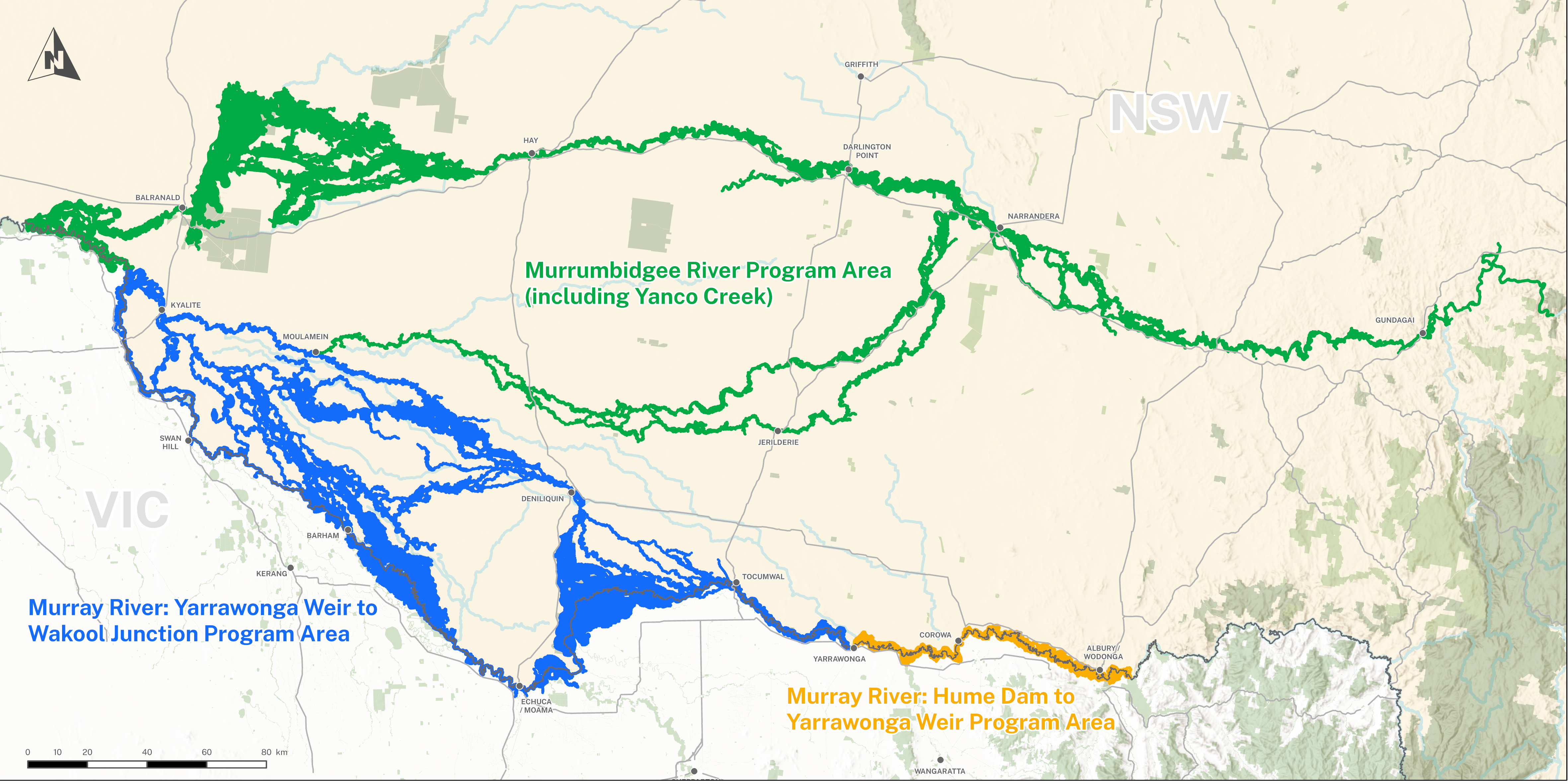
The program area occurs within the Murray and Murrumbidgee valleys, along the following river systems:
- Murrumbidgee River, including Yanco-Billabong creek system
- Murray River - Hume Dam to Wakool Junction.
View a map of the program area.
If the program proceeds to delivery, greater flexibility to manage water for the environment would create healthier river systems providing a range of benefits for native vegetation, native fish, waterbirds, turtles, frogs and other wildlife.
Healthier river systems would provide generational benefits for local communities and the broader Basin community.
We are also consulting with First Nations people to understand how the program could improve connection and access to Country and healthy culture.
The program could deliver a range of outcomes benefitting First Nations communities such as healthier connected Country and improved access to land and water, contributing to the health and well-being of First Nations communities and culture.
If the program proceeds, landholders, land managers and communities may also benefit through investment in infrastructure, the potential for improved agricultural productivity for graziers, as well as benefits to recreational fishing and tourism.
Program status
In the Murrumbidgee program area, we are continuing to work with stakeholders to collect information and seek feedback on the implications and benefits of different flow options to inform a flow options assessment. Further work, including proceeding to a final business case is subject to the program being extended by the Australian Government.
In 2024, the program is seeking to reach more landholders and community members along the Murrumbidgee River.
Across the program area, we are scoping a package of early works, in line with the August 2023 Murray-Darling Basin Agreement. Early works refers to program measures that can deliver wetlands and floodplain outcomes and be in operation by December 2026, should the program proceeds to delivery.
We are also working with the Murray Darling Basin Authority and other Basin state governments to support development of the constraints roadmap (which forms part of the Australian Government’s Water Amendment (Restoring Our Rivers Bill) 2023.
Stakeholder consultation
The department’s Water Group and partner agencies are committed to building and maintaining respectful, trusted and collaborative relationships with our communities and stakeholders to ensure programs achieve the best possible outcomes.
Feedback plays a vital role in the development of the program. We take the views of landholders and stakeholders seriously and encourage feedback as part of the program’s engagement activities.
Our past and current engagement with stakeholders ensures issues are identified and informs development of a suite of program measures to mitigate any potential effects before making changes to existing rules, policies or infrastructure.
We are continuing to engage with landholders, First Nations communities, and the wider community across the program area to inform program development.
Find out more about the program by subscribing for updates or registering to be involved in the program on this page.
Program partners
The program is funded by the Australian Government and is part of the NSW Government’s commitment to the Murray-Darling Basin Plan.
It is being led by the department's Water Group in partnership with the department’s Environment and Heritage division and the Department of Regional NSW’s Local Land Services, who will work with landholders and communities across the southern basin to implement the program.
In developing the program we are also working with:
- WaterNSW
- NSW National Parks and Wildlife Service
- NSW Department of Primary Industries–Fisheries
- Murray–Darling Basin Authority
- Victorian Government.
View the improved online inundation modelling for the program area.
Find out more about Flow options being considered and our modelling.
Program measures to mitigate impacts, improve access and connection to Country during proposed higher environmental flows.
The purpose of the reference groups is to support transparent, equitable, fair and consistent engagement about the program with a broad range of potentially affected landholders and First Nations communities.
Find all the latest program information and resources.
Find out if you are potentially affected and how to have a conversation with us.
Landholder registration form
Apply to participate in the Reconnecting River Country Program during the next phase of landholder engagement.
Register here
Ask a question about the Reconnecting River Country Program.
We acknowledge the Traditional Custodians of the land and we show our respect for Elders past, present and emerging through thoughtful and collaborative approaches to our work, seeking to demonstrate our ongoing commitment to providing places in which Aboriginal people are included socially, culturally and economically.
Contact us
For more information call us on 1300 081 047 or email us at: admin.rrcp@dpie.nsw.gov.au