Insecure browser/WebGL disabled: There are security and user experience issues with your current browser. A secure modern browser with WebGL enabled is required to display interactive maps and other features.
ACT Government | Transport Canberra Canberra's Light Rail Network
  • Map
  • City to Woden
  • Gallery
  • Ask a question
  • Share
Register for updates
Welcome to the Canberra's Light Rail Network virtual engagement room!

Welcome to ACT Government Virtual engagement Room which we hope will assist us capture important community feedback as we progress the design and development of Canberra's Light Rail.

Inside the virtual room you will have access to project information, planning documents, indicative 3D visulisations, videos and even take a 360 ride on the Light Rail from the future Alinga Station to Commonwealth Park Station.

For any questions, you can email the Light Rail team directly at lightrailtowoden@act.gov.au
Enter

Ride the Light Rail from Alinga Station to City South Station

Register for updates

CLICK HERE TO REGISTER FOR UPDATES

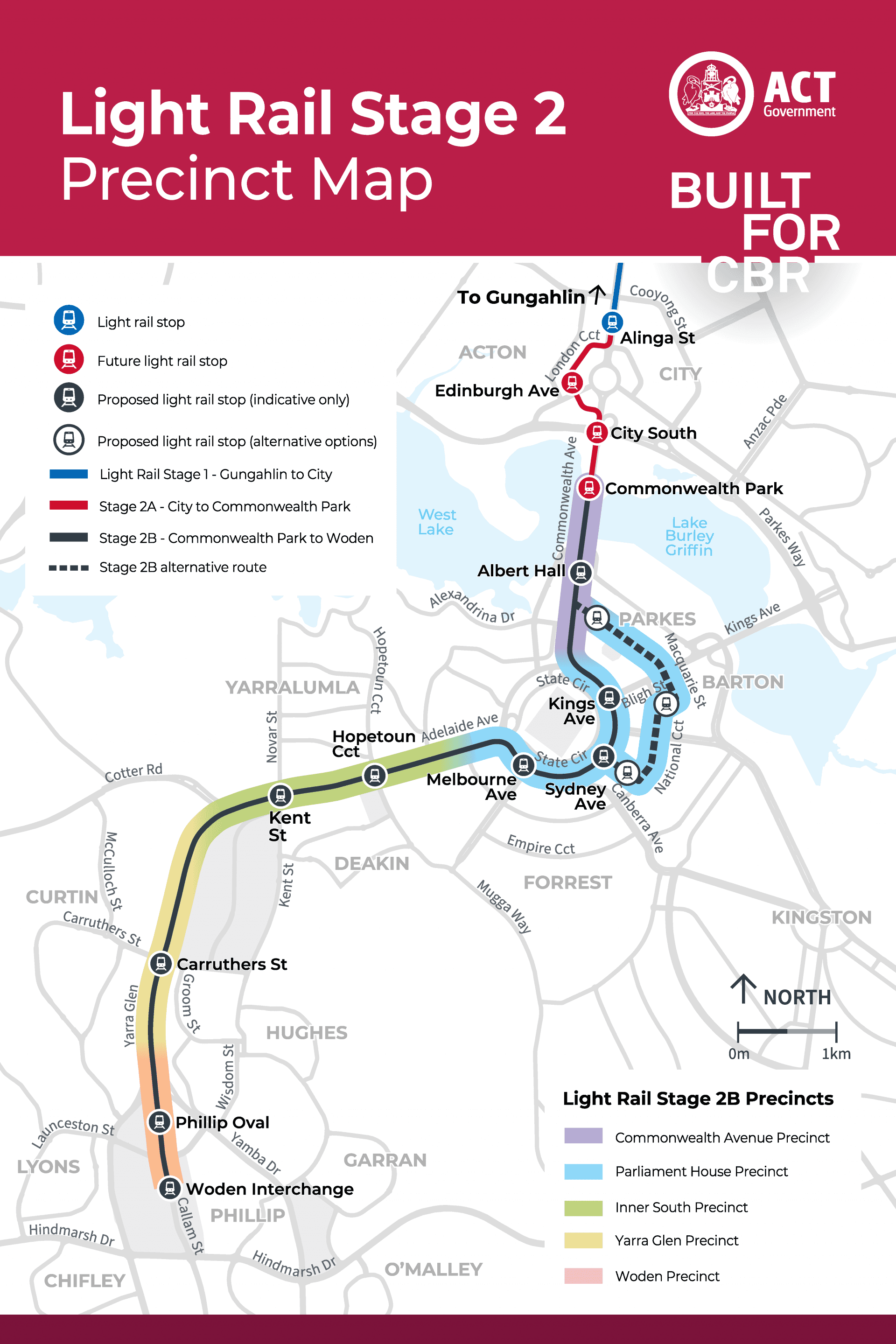
Stage 2 Precinct Map

Download

Light Rail Stage 2A FLythrough

360˚ Photo booth (Virtual reality)

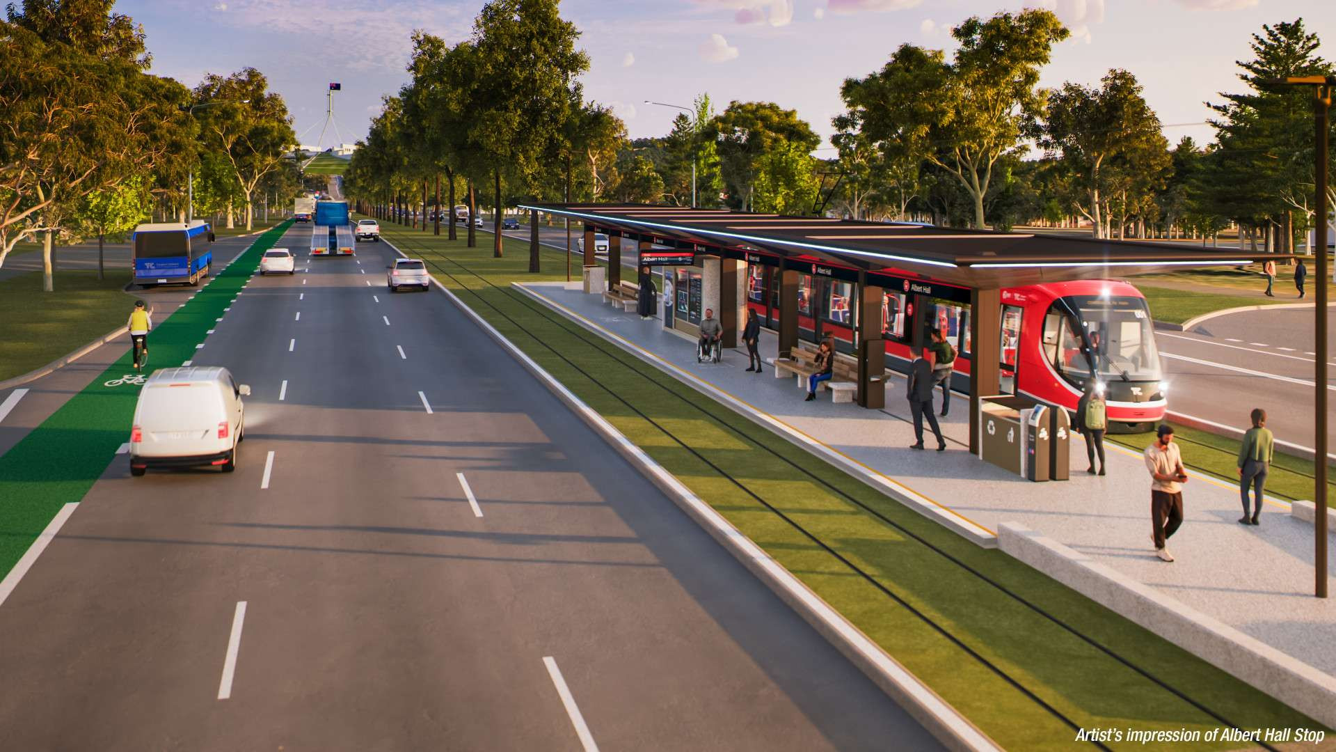
Commonwealth Park Stop
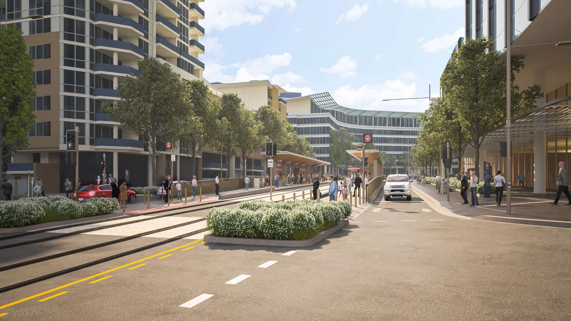
City South Stop
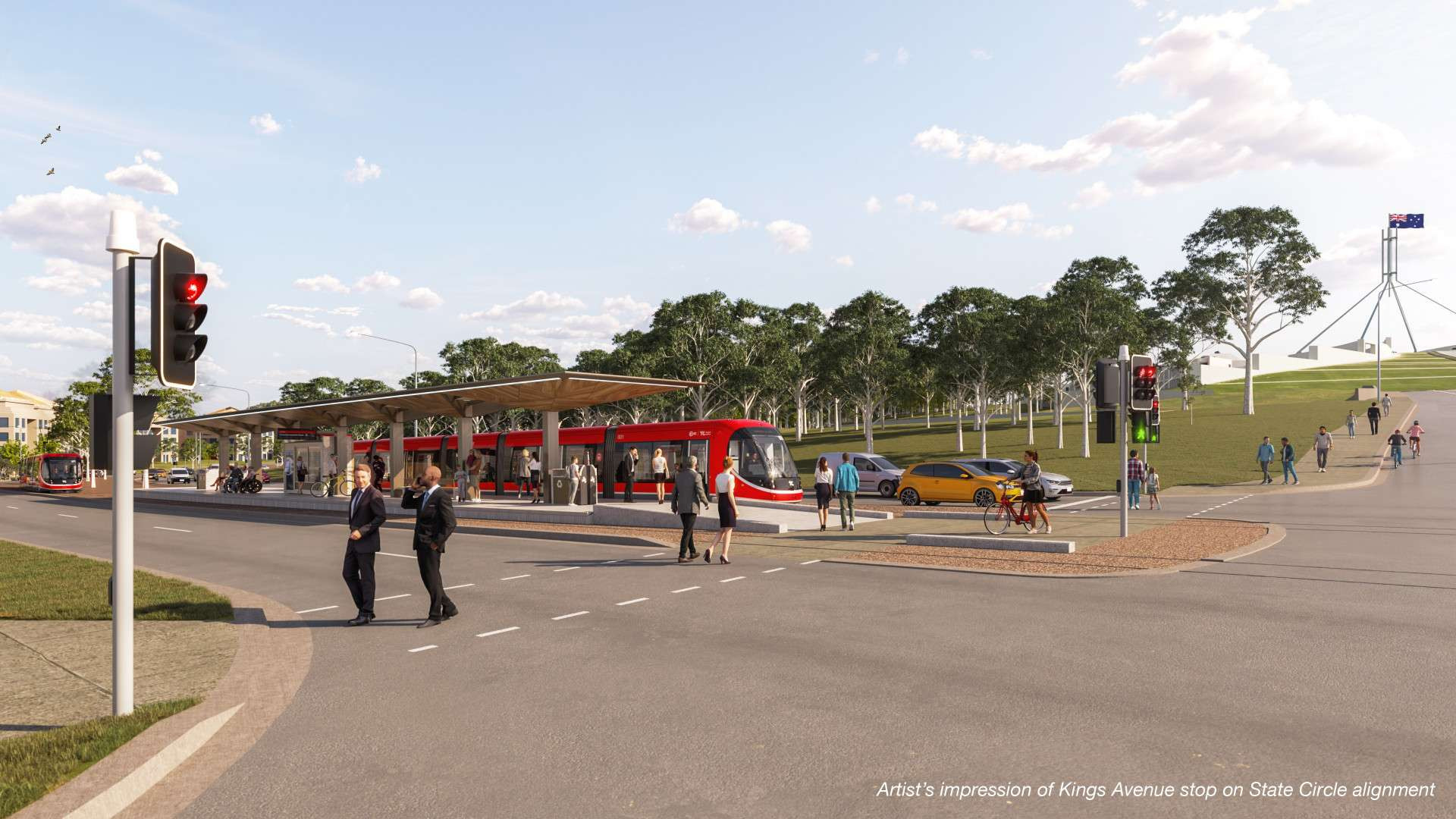
Alinga Street Stop
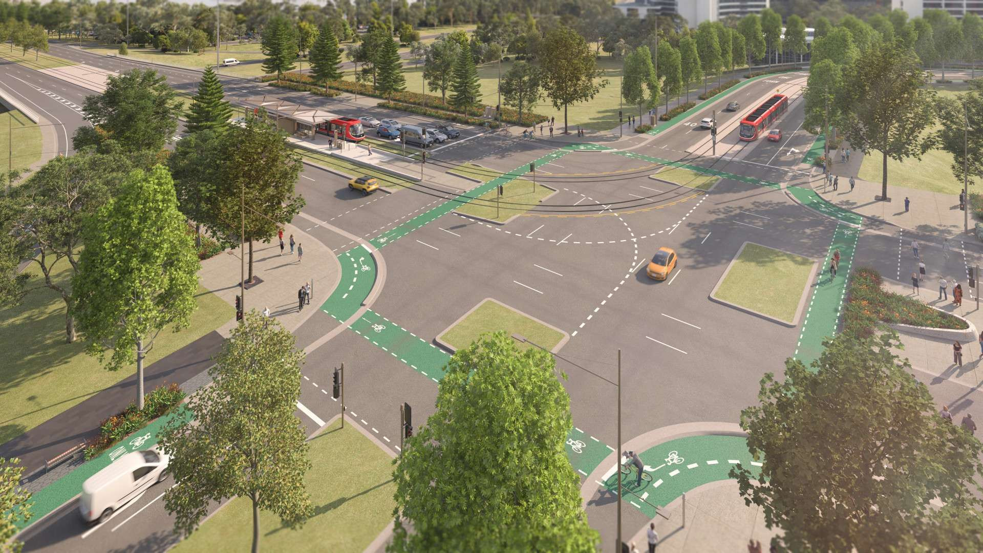
Edinburgh Avenue Stop

Commonwealth Park Stop

Back to list

City South Stop

Back to list

Edinburgh Avenue Stop

Back to list

Alinga Street Stop

Back to list

Stage 2A Fact Sheets

Stage 2B Fact Sheets

Marketplace Gungahlin

#### specialty stores. Image © : My Gungahlin

Marketplace Gungahlin

Features a Woolworths, Coffee Guru Cafe and other food outlets.