
Eastern Sites - Gunbower National Park and Guttrum and Benwell Forests

Interactive map
Use this map to learn more about how we are restoring the floodplain.
Project Videos
Check out the related videos about the Eastern Sites Floodplain Restoration Projects
Documents - Gunbower and Guttrum Benwell Forests
Download our information factsheets and environmental assessment documents.
About the project
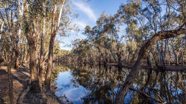
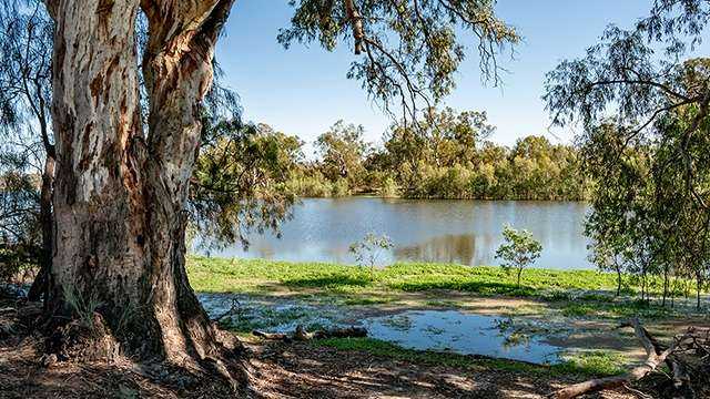
The Victorian Murray Floodplain Restoration Project (VMFRP) will get much needed water back onto high-value floodplains along the Murray River. Without this water, these iconic landscapes will continue to decline – along with the many native trees, animals and plants that depend on them.
Explore our interactive map to learn more, or visit the project website.