

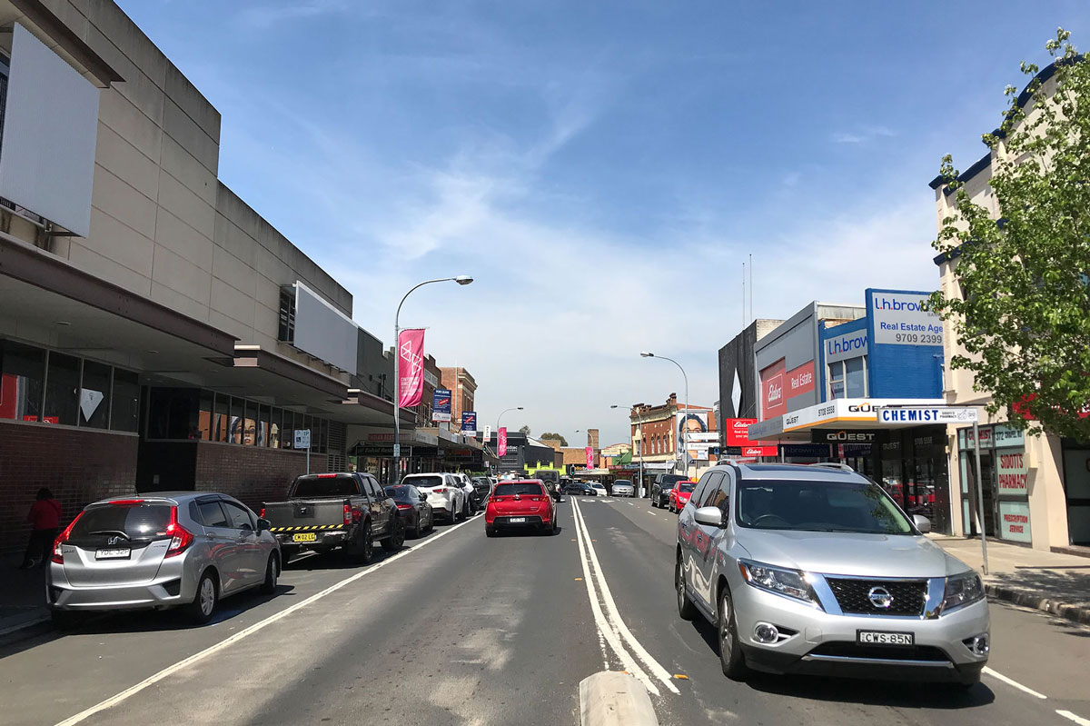
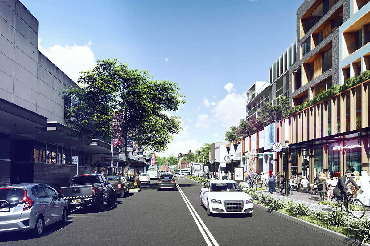
Chapel Road North
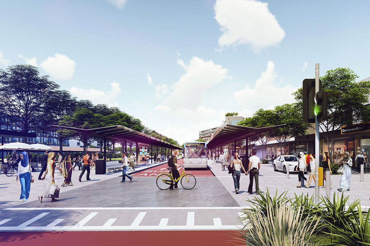
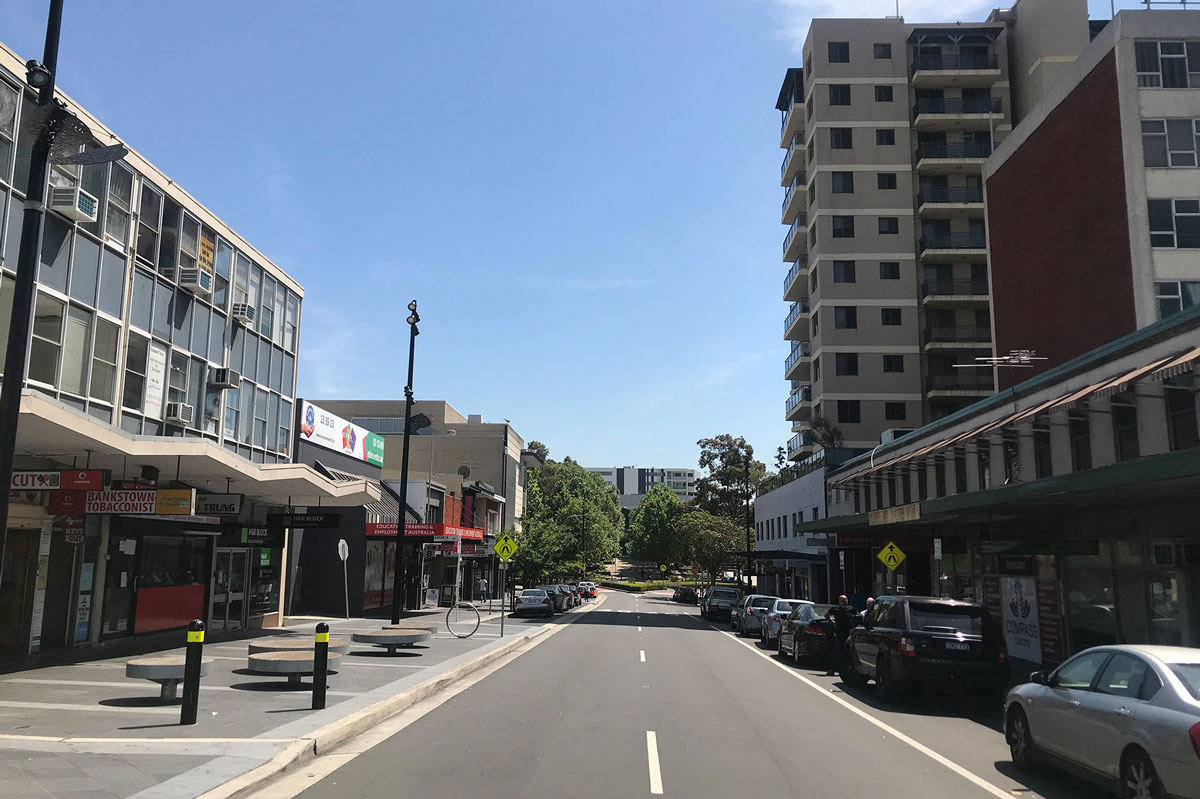
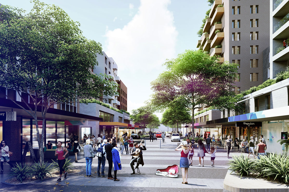
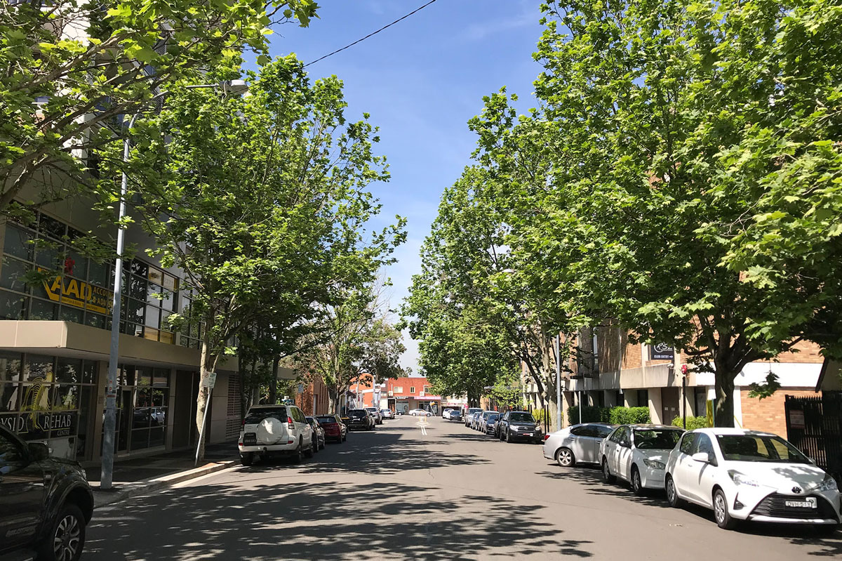
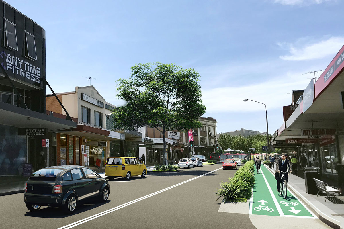
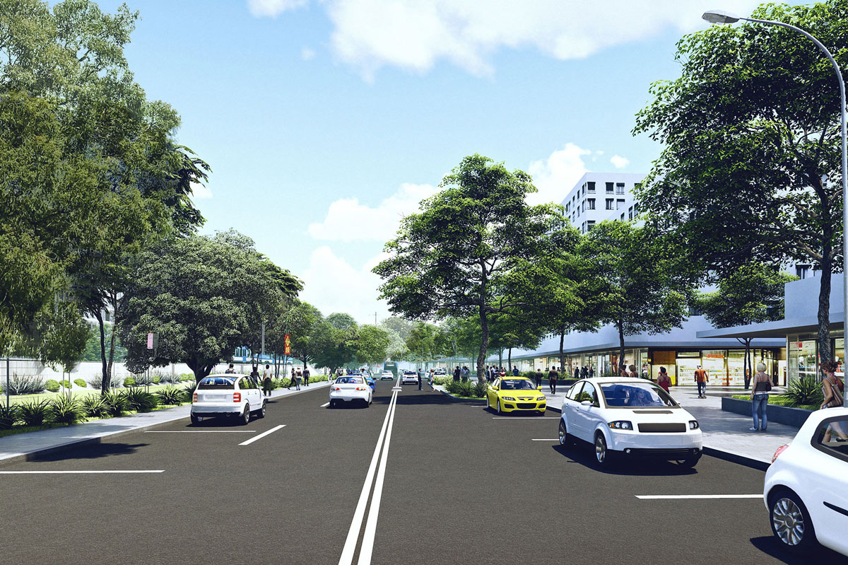
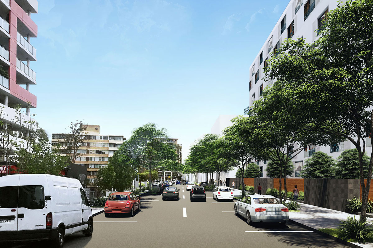
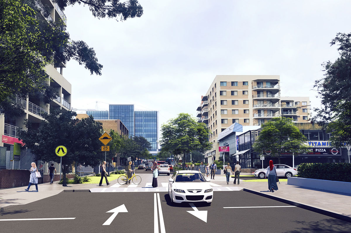
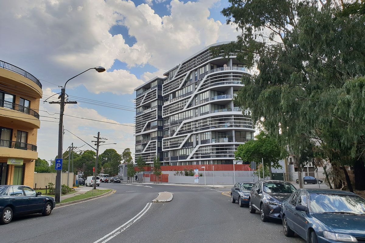
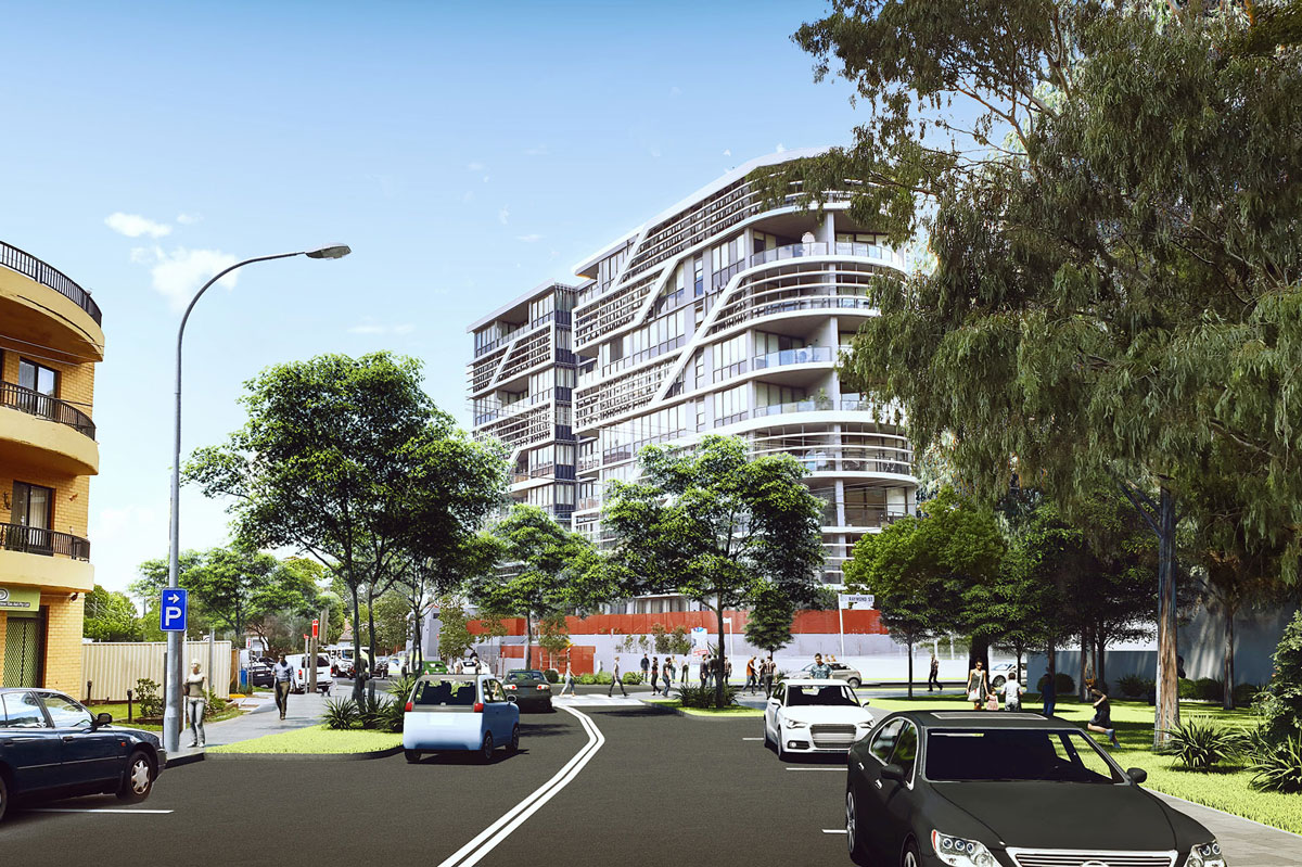
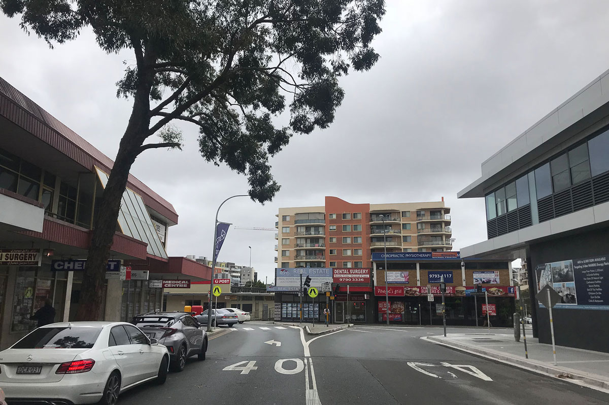
Drag the slider from the left to right to compare the existing road layout to the designed road layout.
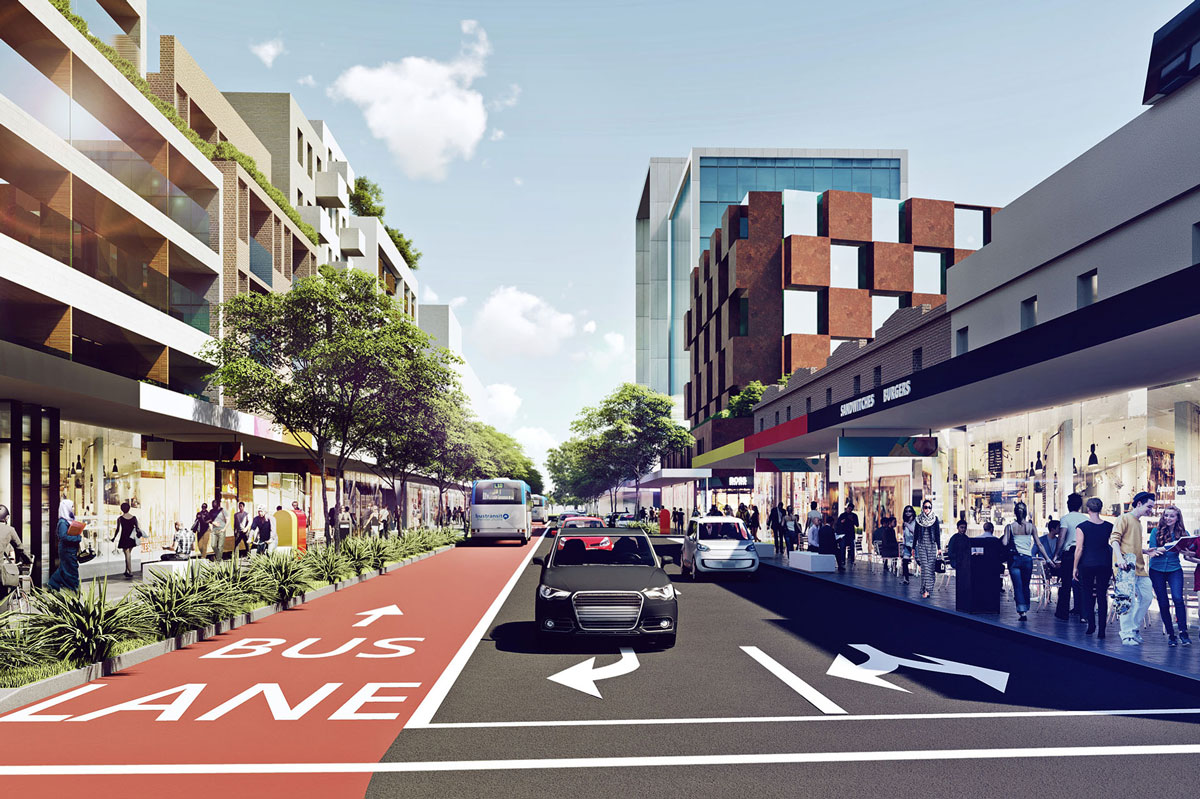
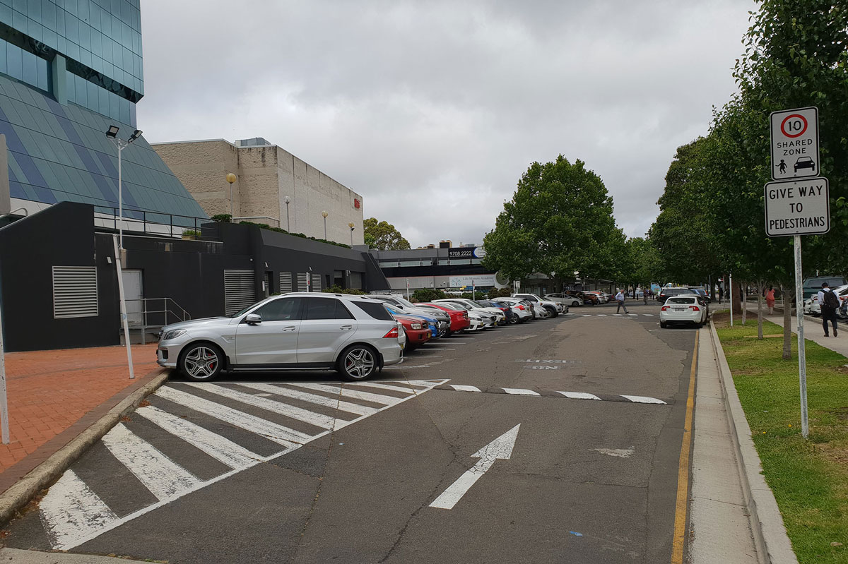
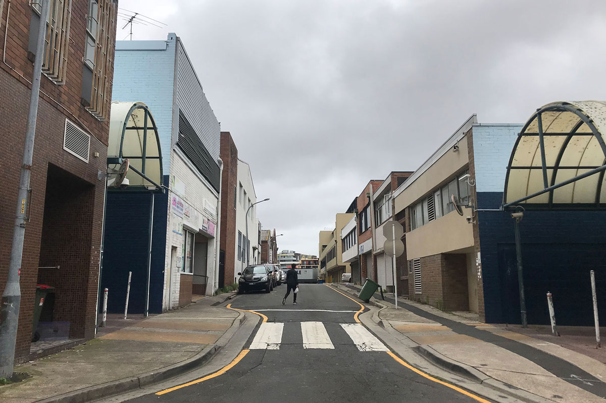
Drag the slider from the left to right to compare the existing road layout to the designed road layout.

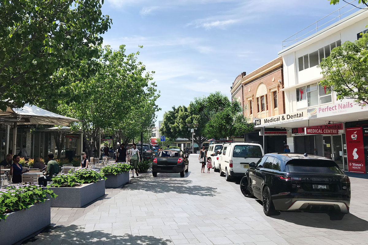
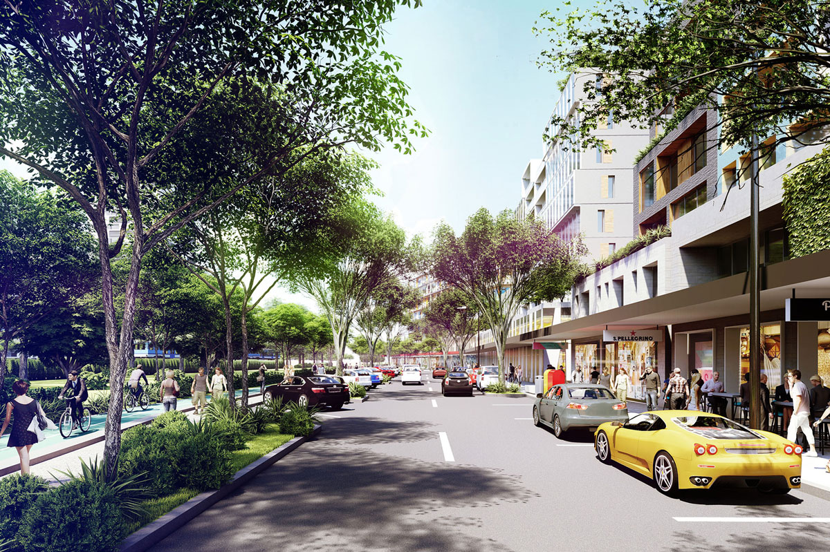
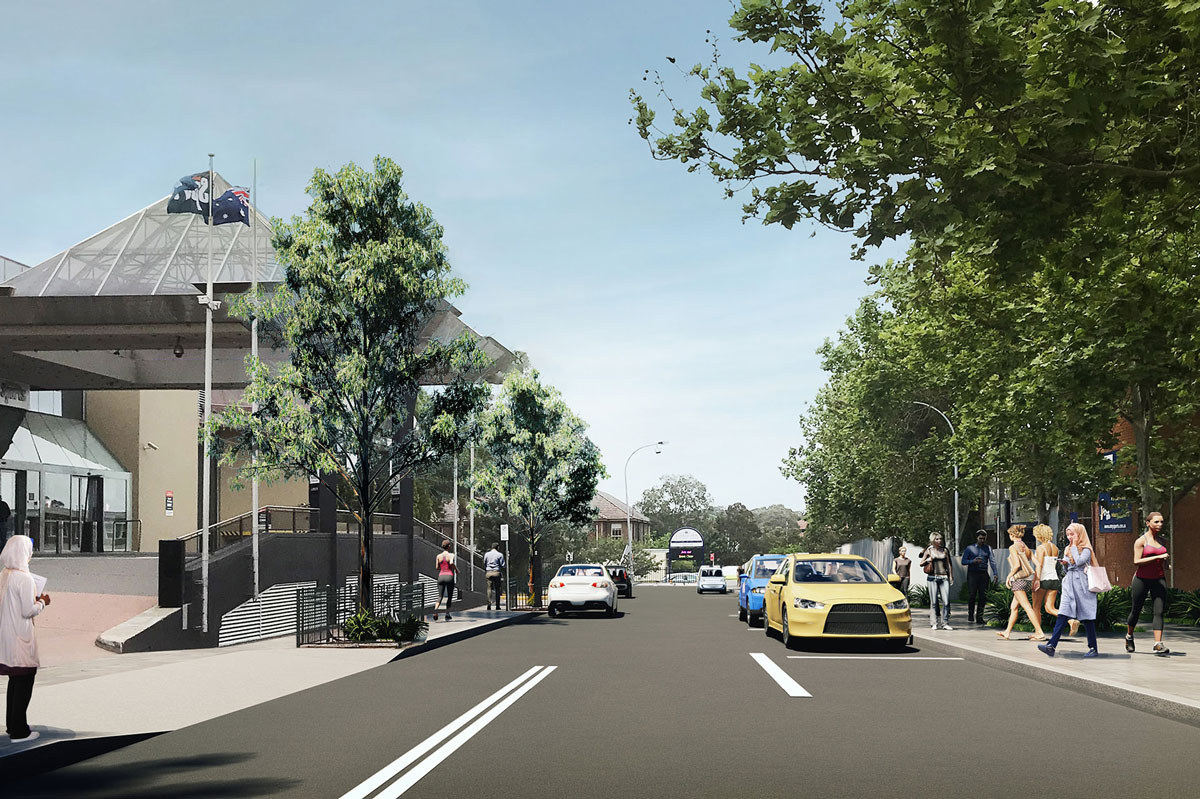
Drag the slider from the left to right to compare the existing road layout to the designed road layout.

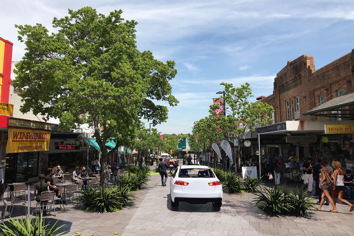
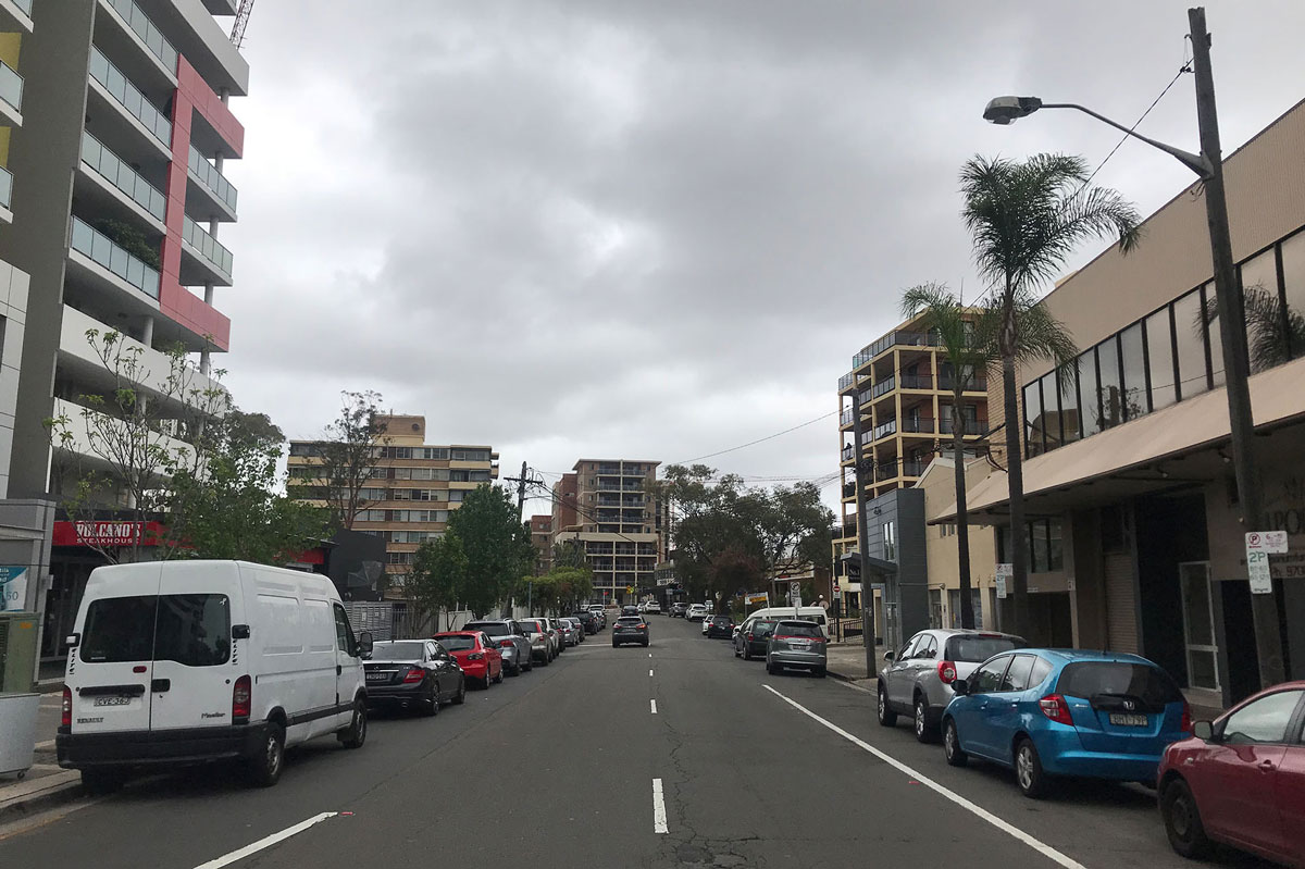
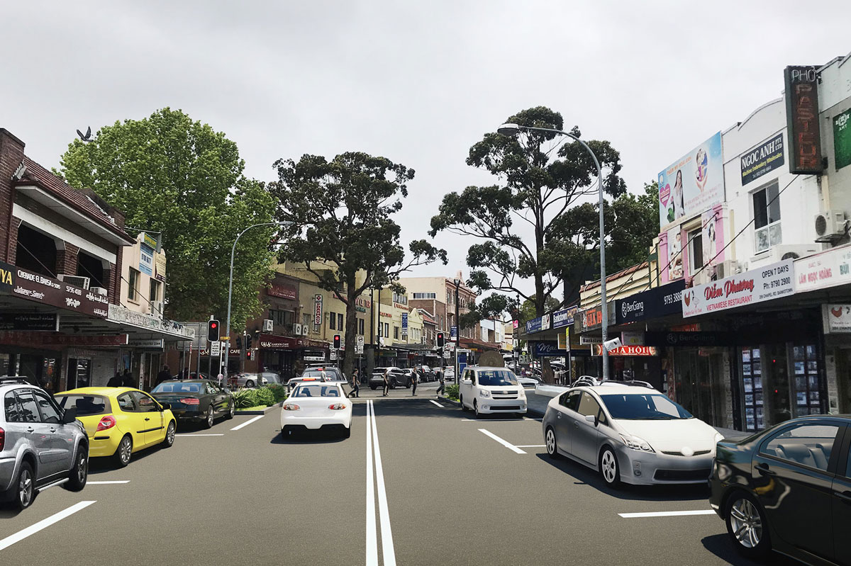
Drag the slider from the left to right to compare the existing road layout to the designed road layout.

Drag the slider from the left to right to compare the existing road layout to the designed road layout.
Drag the slider from the left to right to compare the existing road layout to the designed road layout.
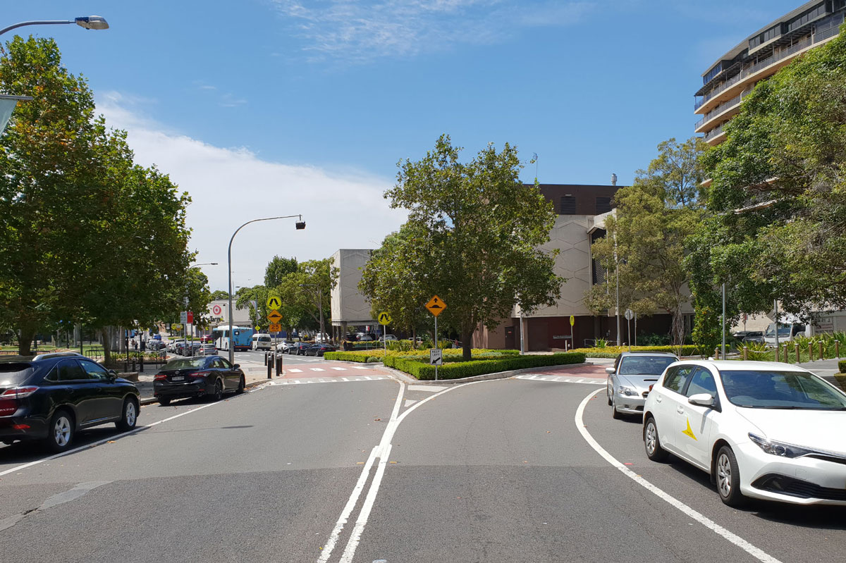
Drag the 360° image above to view the designed road layout.

Drag the slider from the left to right to compare the existing road layout to the designed road layout.

Drag the slider from the left to right to compare the existing road layout to the designed road layout.


Drag the slider from the left to right to compare the existing road layout to the designed road layout.

Drag the slider from the left to right to compare the existing road layout to the designed road layout.
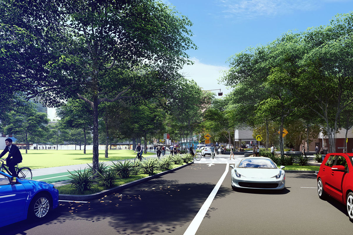
Drag the 360° image above to view the designed road layout.
Drag the slider from the left to right to compare the existing road layout to the designed road layout.


Drag the slider from the left to right to compare the existing road layout to the designed road layout.


Drag the slider from the left to right to compare the existing road layout to the designed road layout.


Drag the slider from the left to right to compare the existing road layout to the designed road layout.

Drag the slider from the left to right to compare the existing road layout to the designed road layout.


Drag the slider from the left to right to compare the existing road layout to the designed road layout.

Drag the slider from the left to right to compare the existing road layout to the designed road layout.
Drag the 360° image above to view the designed road layout.
Drag the slider from the left to right to compare the existing road layout to the designed road layout.

Drag the slider from the left to right to compare the existing road layout to the designed road layout.
Drag the slider from the left to right to compare the existing road layout to the designed road layout.

Drag the slider from the left to right to compare the existing road layout to the designed road layout.
Drag the slider from the left to right to compare the existing road layout to the designed road layout.

Drag the slider from the left to right to compare the existing road layout to the designed road layout.

Drag the slider from the left to right to compare the existing road layout to the designed road layout.

Drag the slider from the left to right to compare the existing road layout to the designed road layout.

Drag the slider from the left to right to compare the existing road layout to the designed road layout.


Drag the slider from the left to right to compare the existing road layout to the designed road layout.


Drag the slider from the left to right to compare the existing road layout to the designed road layout.
Drag the slider from the left to right to compare the existing road layout to the designed road layout.