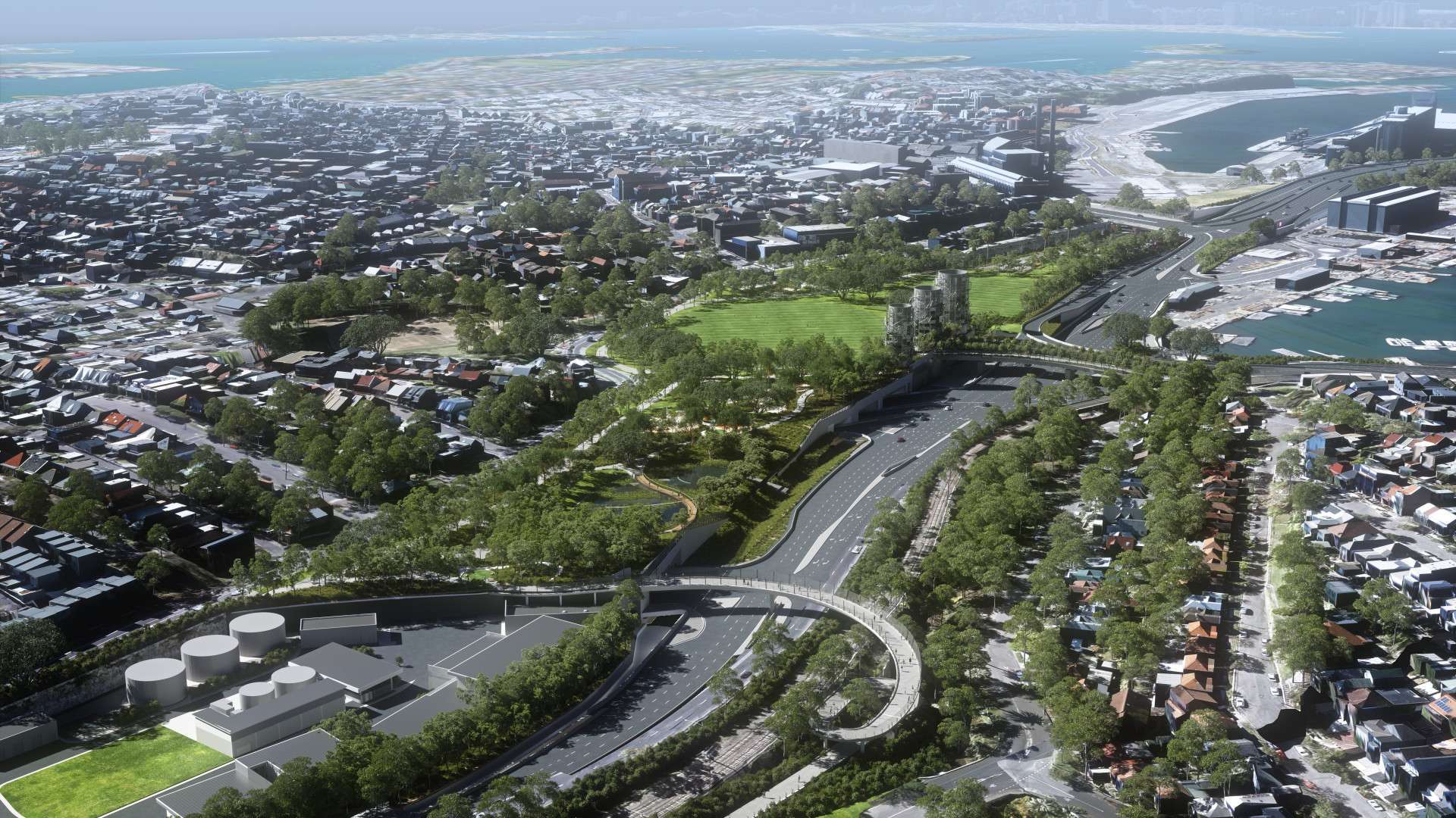
The Rozelle Interchange and Parklands represent a major transformation for Sydney’s inner west.
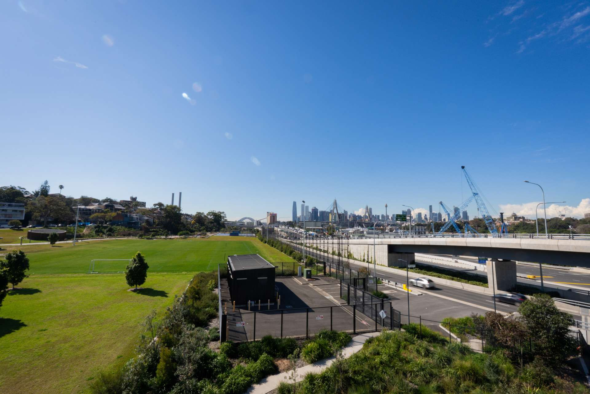
Rozelle Interchange connects the M4 to the Anzac Bridge and the M8 to City West Link and Victoria Road. Above sits the parklands, with almost 10 hectares of green space. The Parklands are one of the largest open recreation and multi-purpose sporting areas in the inner city, with approximately 14 kilometres of bike riding and walking paths as well as many other facilities for everyone of all ages and abilities to enjoy.
The walking and bike riding paths offers easy connections to Victoria Road, Annandale, Anzac Bridge, the suburbs of Drummoyne, Russell Lea, and Chiswick, connecting people to The Bays Precinct and the CBD.
Other facilities on offer include:
picnic and barbecue areas
two sports fields
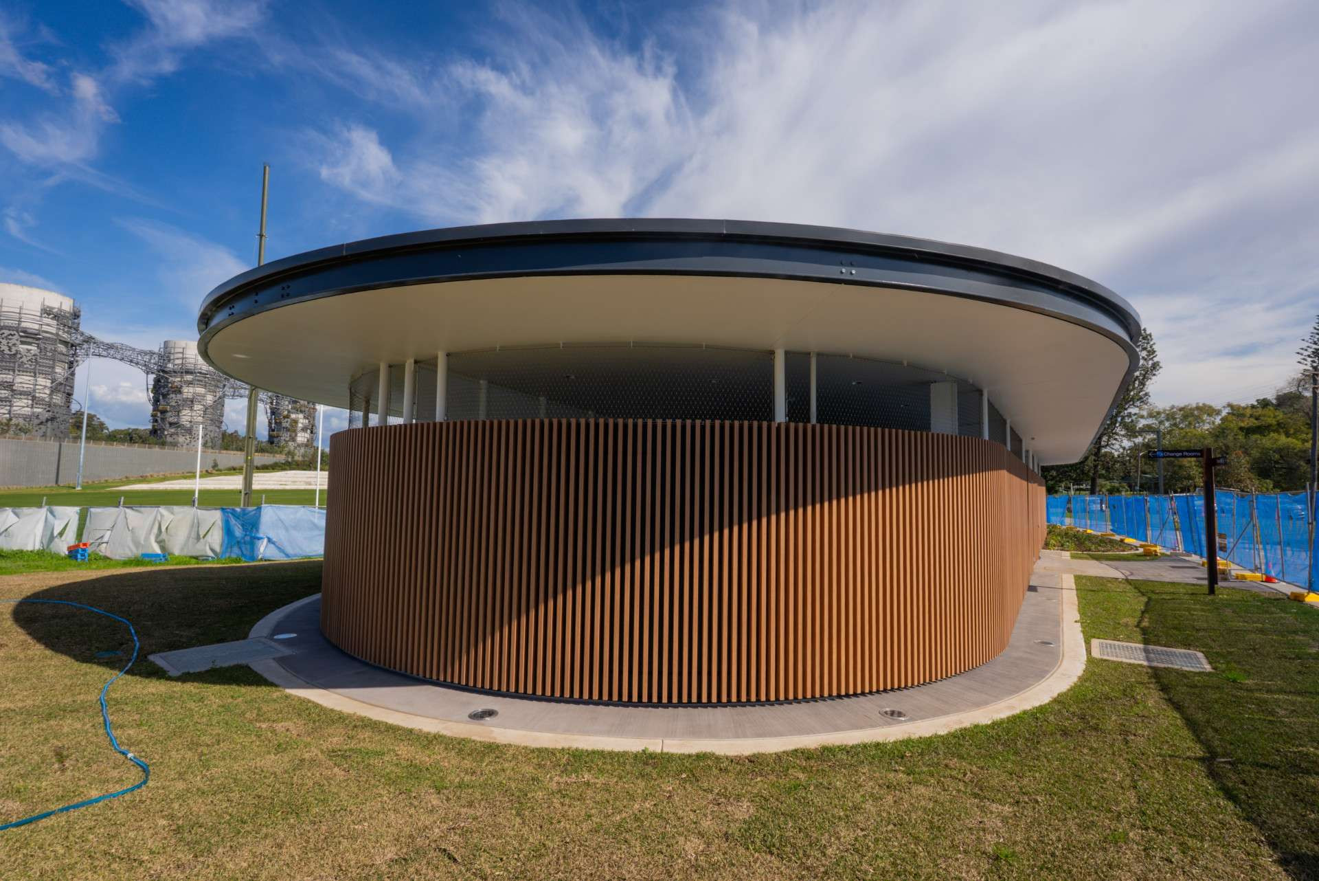
sports facilities building with change rooms, showers, toilets and a kiosk
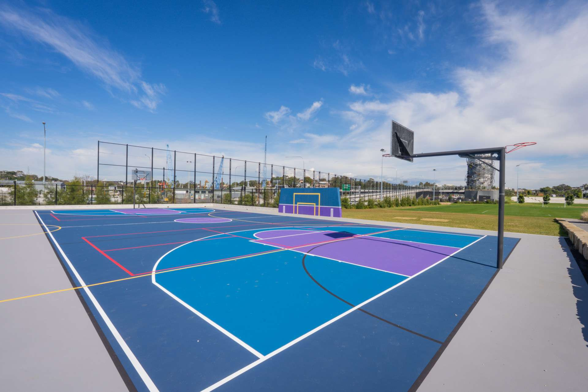
multi-purpose sports courts for netball, basketball, futsal and two hit-up walls
two toilet blocks with disability access and baby change facilities
large grassy areas
bush trails
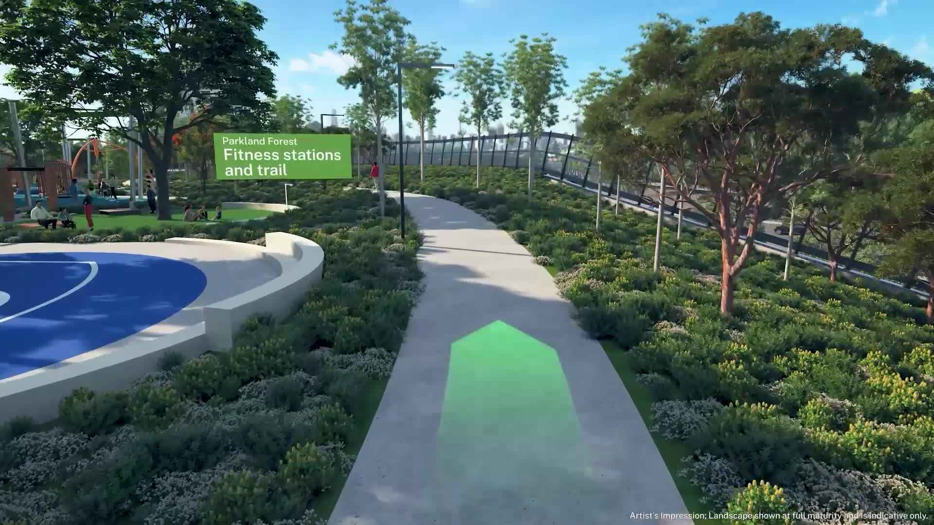
fitness area
playground.
Ongoing management of the Parklands by Council
Inner West Council manage the parklands and can be contacted for maintenance or booking enquiries:
General enquiries Inner West Council – Parks and Playgrounds: council@innerwest.nsw.gov.au.
Sporting ground and event bookings: parks@innerwest.nsw.gov.au.
Video
Rozelle Parklands is a multi-purpose open space in the heart of Sydney, that is designed for everyone of all ages and abilities; a place where the community can find new ways to interact with nature and each other at their doorstep.
Our new urban forest in the heart of the city is complete with pedestrian and cyclist shared user paths that connect into existing active transport links around Victoria Road, Annandale and the Anzac Bridge.
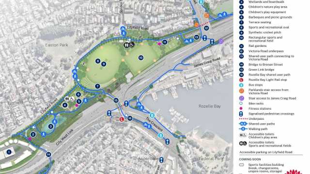
View our Rozelle Parklands Map
A guide for visitors to find their way around the Parklands.
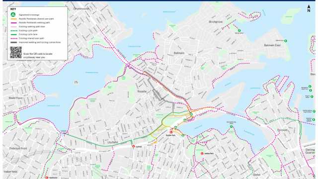
View our Rozelle Parklands Walking and Cycling Links Map
Walking and cycling map that shows Rozelle Parklands connectivity with surrounding Local Government Areas.
Project approval documents
Contact us
Construction of the Rozelle Interchange and Parklands has finished. You can contact Transport for NSW about previous work at:
Phone: 1800 684 490
