
Welcome to the Victorian Murray Floodplain Restoration Project Interactive Portal.
We encourage you to explore the interactive map and information and check back for updates and activities as the project evolves.
We encourage you to explore the interactive map and information and check back for updates and activities as the project evolves.
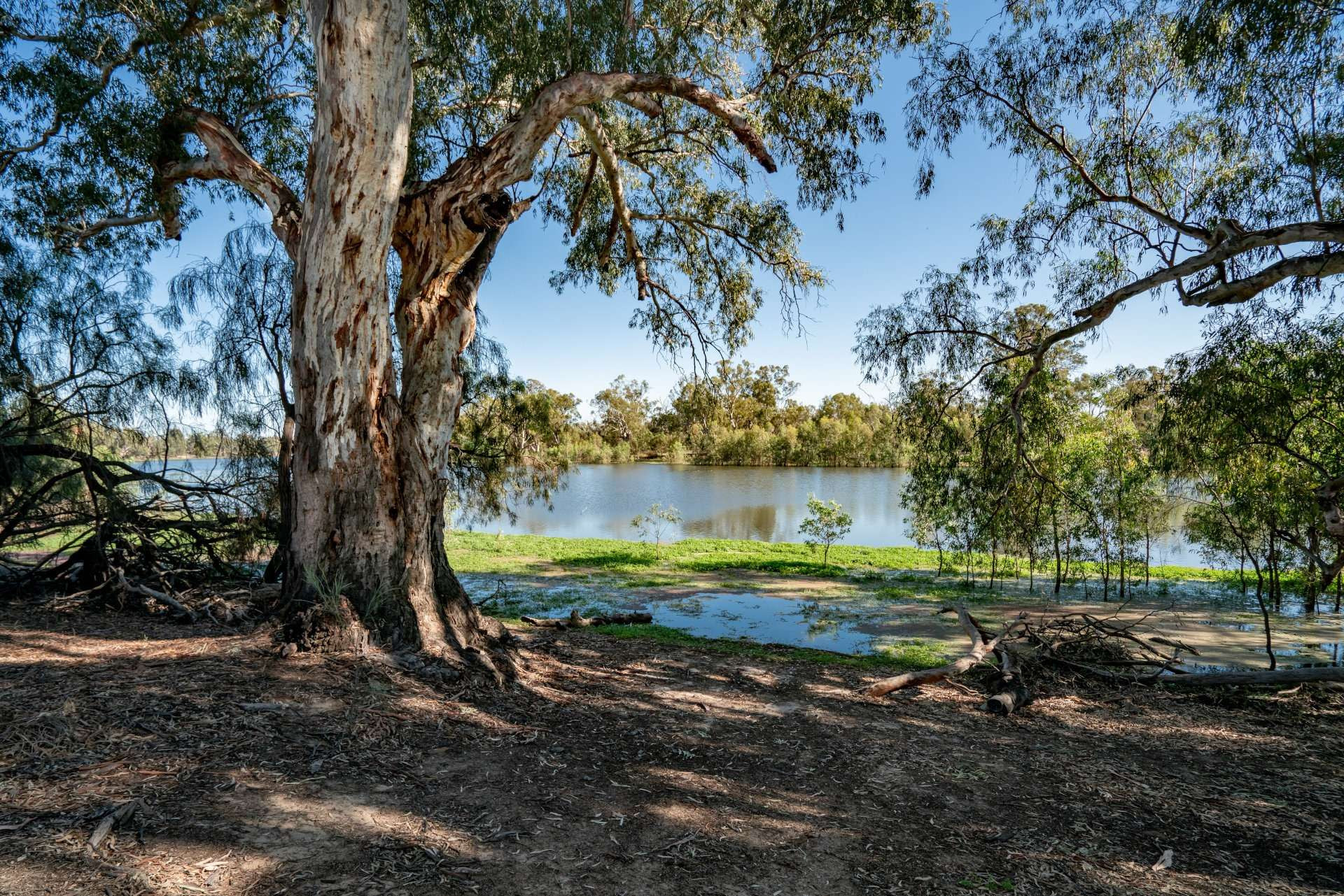
Lindsay is the largest of the nine VMFRP projects. We plan to manage water across the floodplain complex with one large regulator with a fishway across the Lindsay River downstream of Berribee Homestead, and 16 additional regulators in the area.
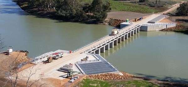
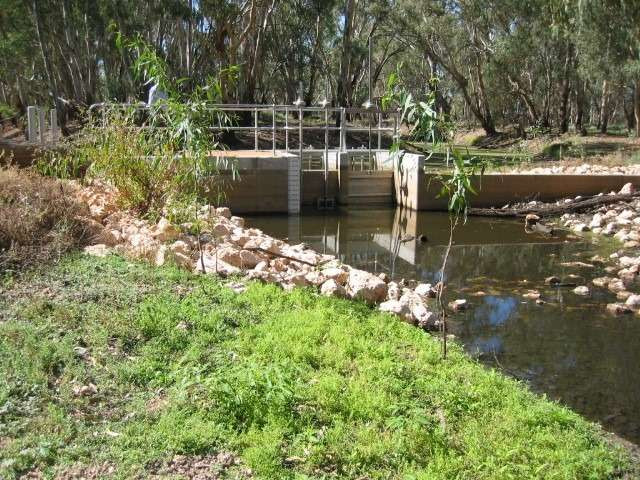
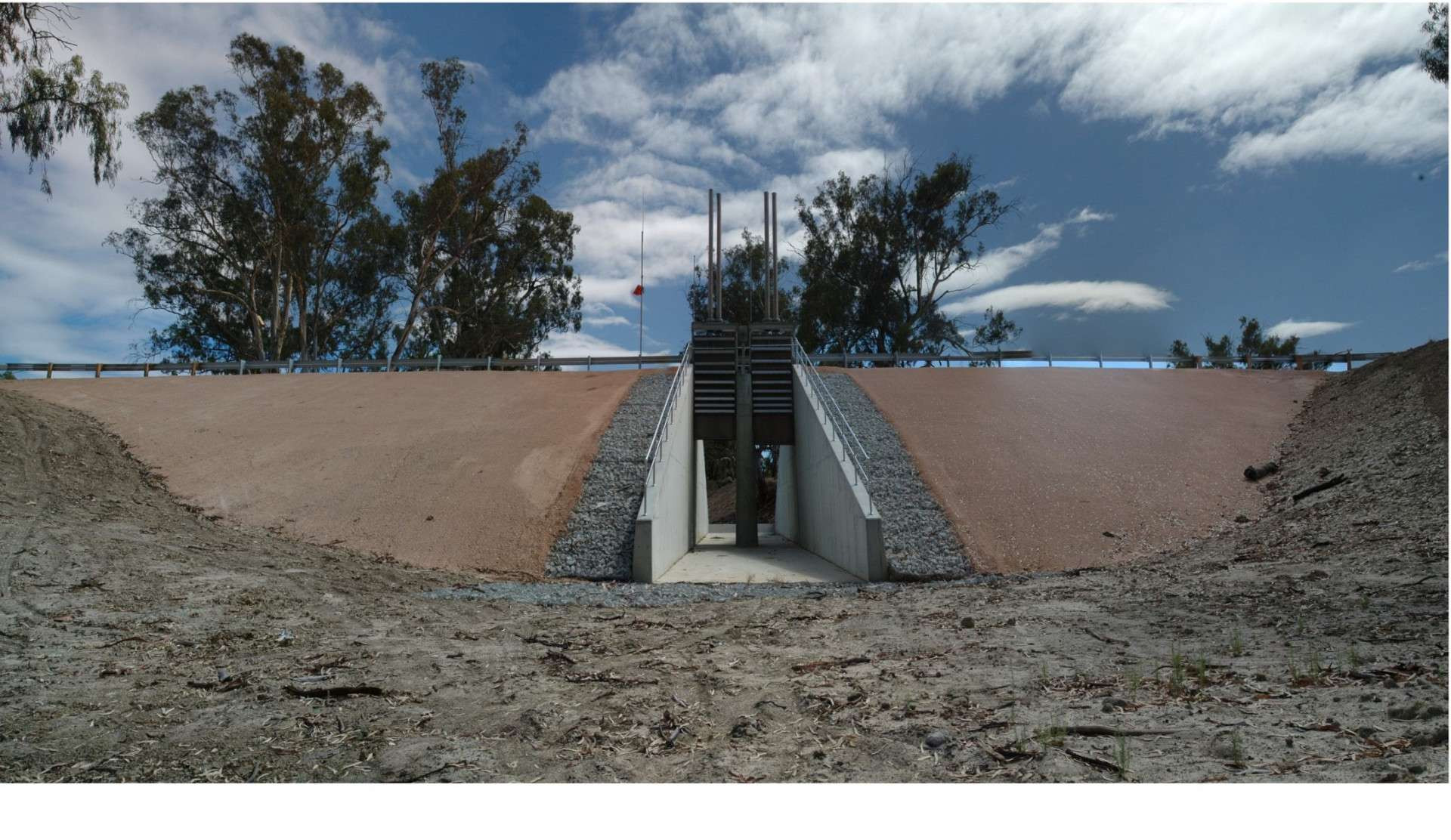
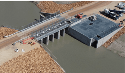
The proposed Berribee Regulator will include a fishway and will help get water onto the higher reaches of the floodplain.
It will be similar in scale to Chowilla Creek Weir in South Australia (pictured above)
Regulators will be built on forest outlets to control the water on the floodplain. This will ensure the river red gums and semipermanent wetlands get a drink, plants have time to flower and set seed, soil moisture is replenished and waterbirds can feed and breed.
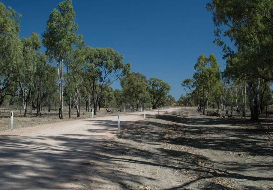
As much as possible, new infrastructure will be sited on areas that are already disturbed, such as existing access tracks. This helps us minimise ecological impacts during construction.
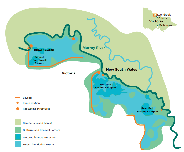
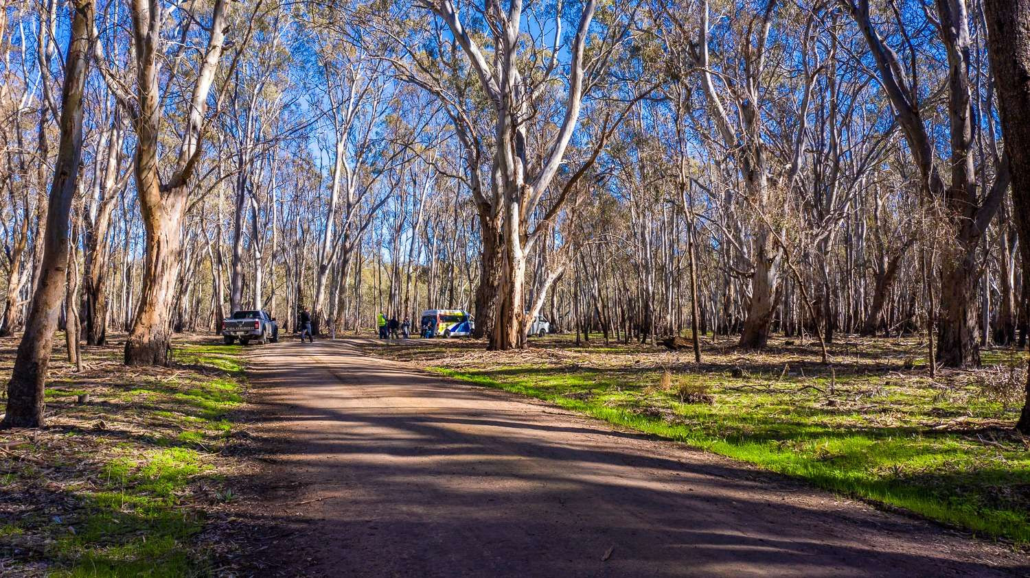
Guttrum and Benwell Forests make up almost 2,000 hectares of the northern Victorian Mid-Murray Floodplain. They support a range of rare and threatened flora and fauna species and huge old river red gums.
Regulators and pump stations will efficiently and effectively deliver water to the floodplains without placing additional strain on local irrigators, and the local irrigation system.
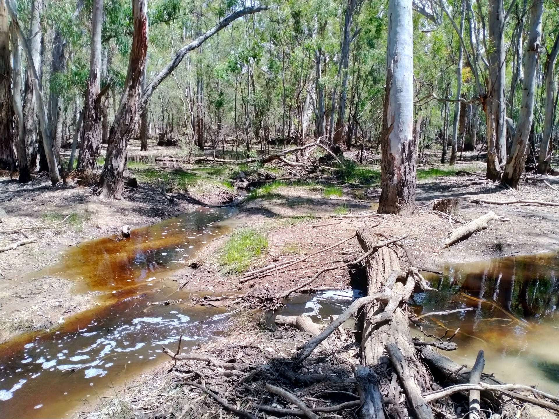
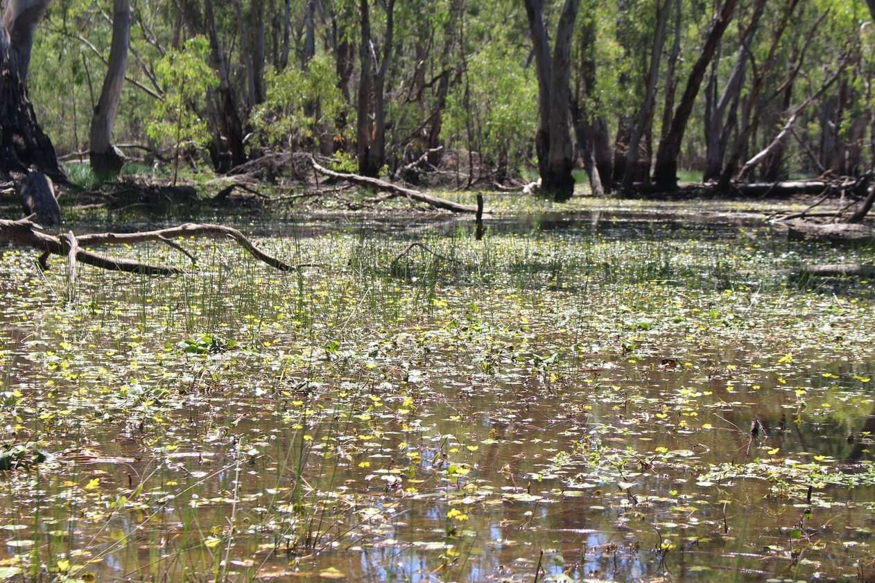
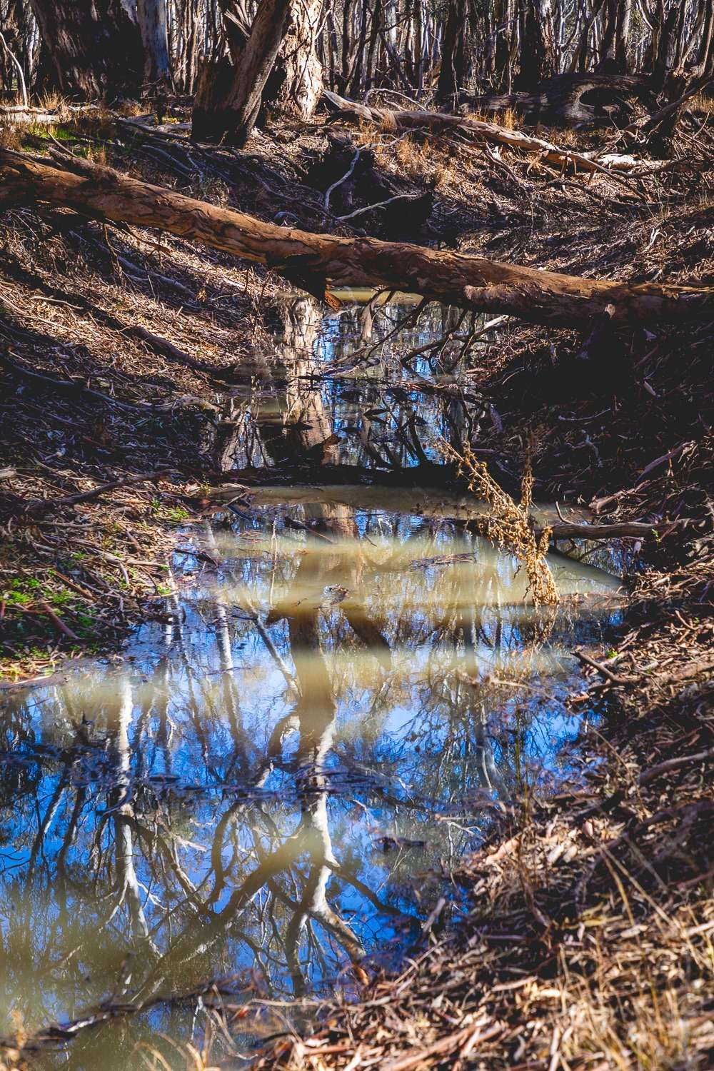
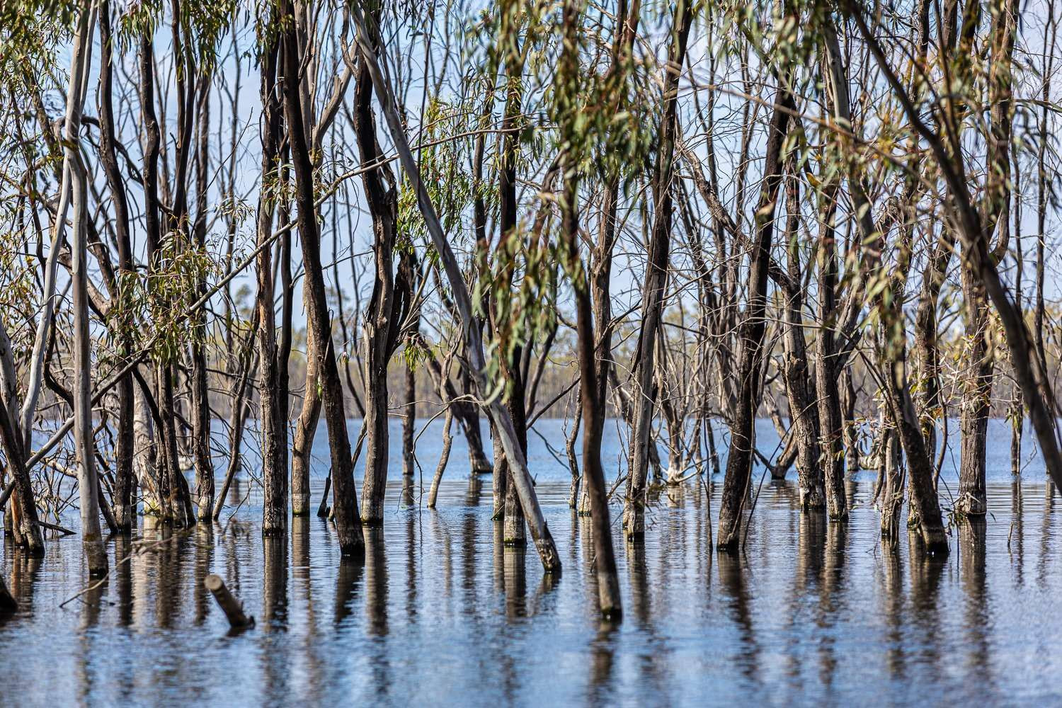
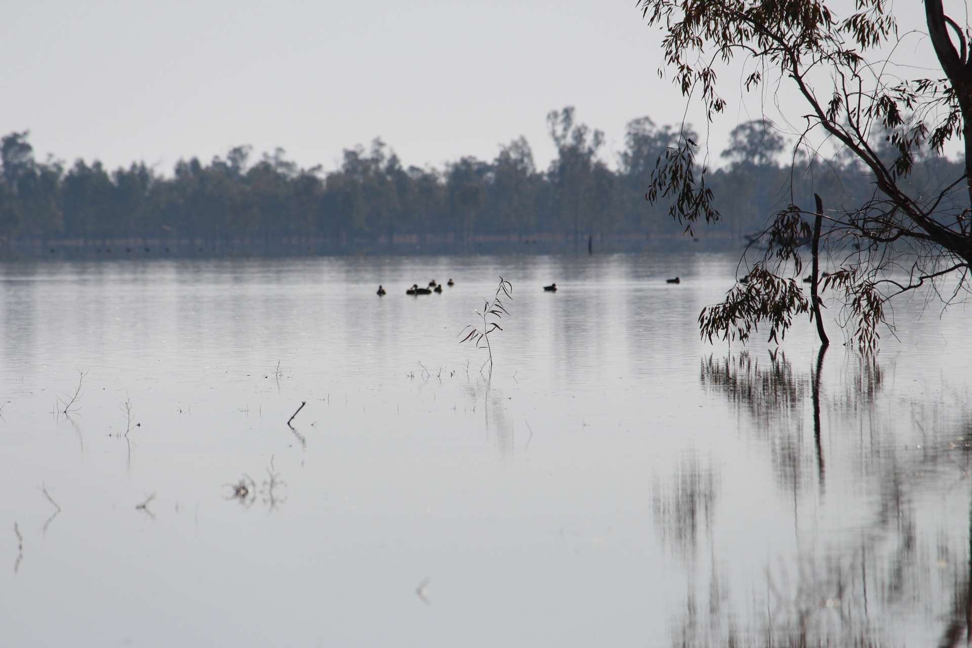
Wetlands such as Reed Bed Swamp have deteriorated, and the diversity of native plants and animals has declined. Terrestrial plants such as river red gums have invaded the wetlands, because the frequency of natural flooding which stops them germinating on the wetland floor has been reduced. These terrestrial plants reduce the area of open water habitat that species such as ducks, spoonbills, and swans need.
Works and infrastructure will be used to fully contain water for the environment within the forests.
Gunbower is popular with kayakers and boaters.
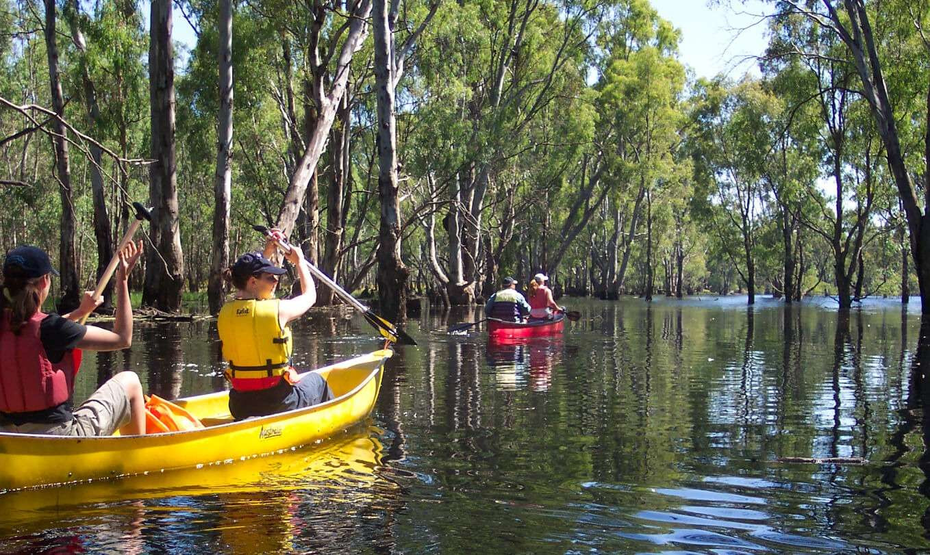
Photo: NCCMA
Regulators and pump stations will efficiently and effectively deliver water to the floodplains without placing additional strain on local irrigators, and the local irrigation system.
Infrastructure will be built or repaired to fully contain water within the Gunbower National Park. As much as possible, new infrastructure will be sited on areas that are already disturbed, such as existing access tracks. This helps us minimise ecological impacts during construction.
A pump station will enable us to pump water into a former irrigation channel to control water entering pig swamp and the forest.
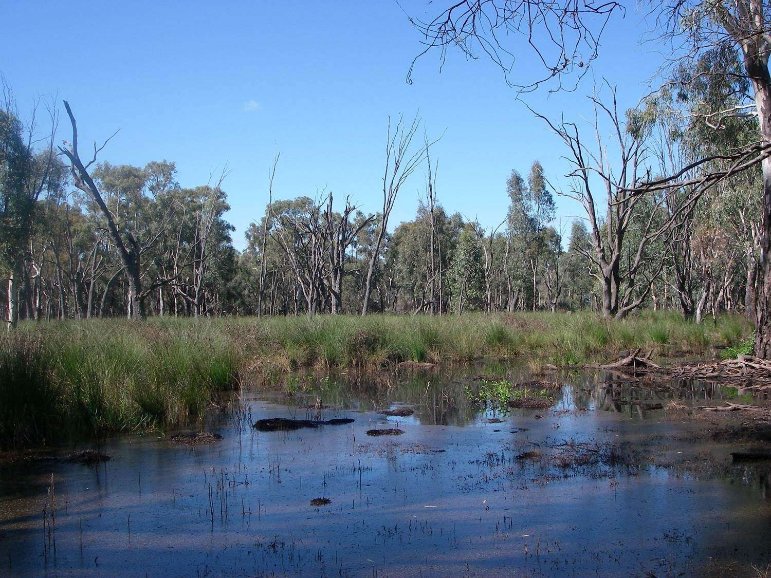
Pig Swamp is a semi-permanent wetland that provides habitat for waterbirds, frogs and turtles. Before river regulation, Pig Swamp overtopped during large flood events, flooding the broader river red gum forest six or seven years in every decade. The floods would inundate the area for months on end. During these events the upper and middle sections of the forest provided important foraging areas for waterbirds that breed in the wetlands of Gunbower Forest.
Gunbower National Park makes up almost 8,900 hectares of the internationally significant Gunbower Forest and supports a range of rare and threatened flora and fauna species.
On Camerons Creek, the project will replace an existing small weir and regulating structure to enable the right amount of water at the right time to be delivered to the creek, Black Charlie Lagoon and Baggots Swamp.
Camerons Creek connects to a series of permanent wetlands, including Black Charlie Lagoon. Before river regulation, Camerons Creek flowed only when there was a rise in water levels in the Murray River. As water spilled down the creek, the permanent wetlands would fill and eventually spill down into the river red gum areas around Baggots Swamp. Camerons Creek and the associated wetlands today provide important habitat for small bodied native fish and waterbirds.
As much as possible, new infrastructure will be sited on areas that are already disturbed, such as existing access tracks. This helps us minimise ecological impacts during construction.
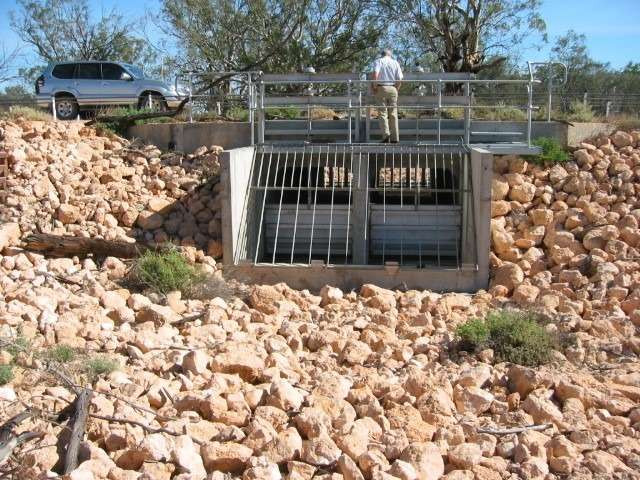
Five small regulators and a series of containment banks will enable us to get water into the creek and floodplain and hold it there for as long as needed. Regulators will be similar in scale to Horseshoe Lagoon regulator at Wallpolla Island, pictured here.
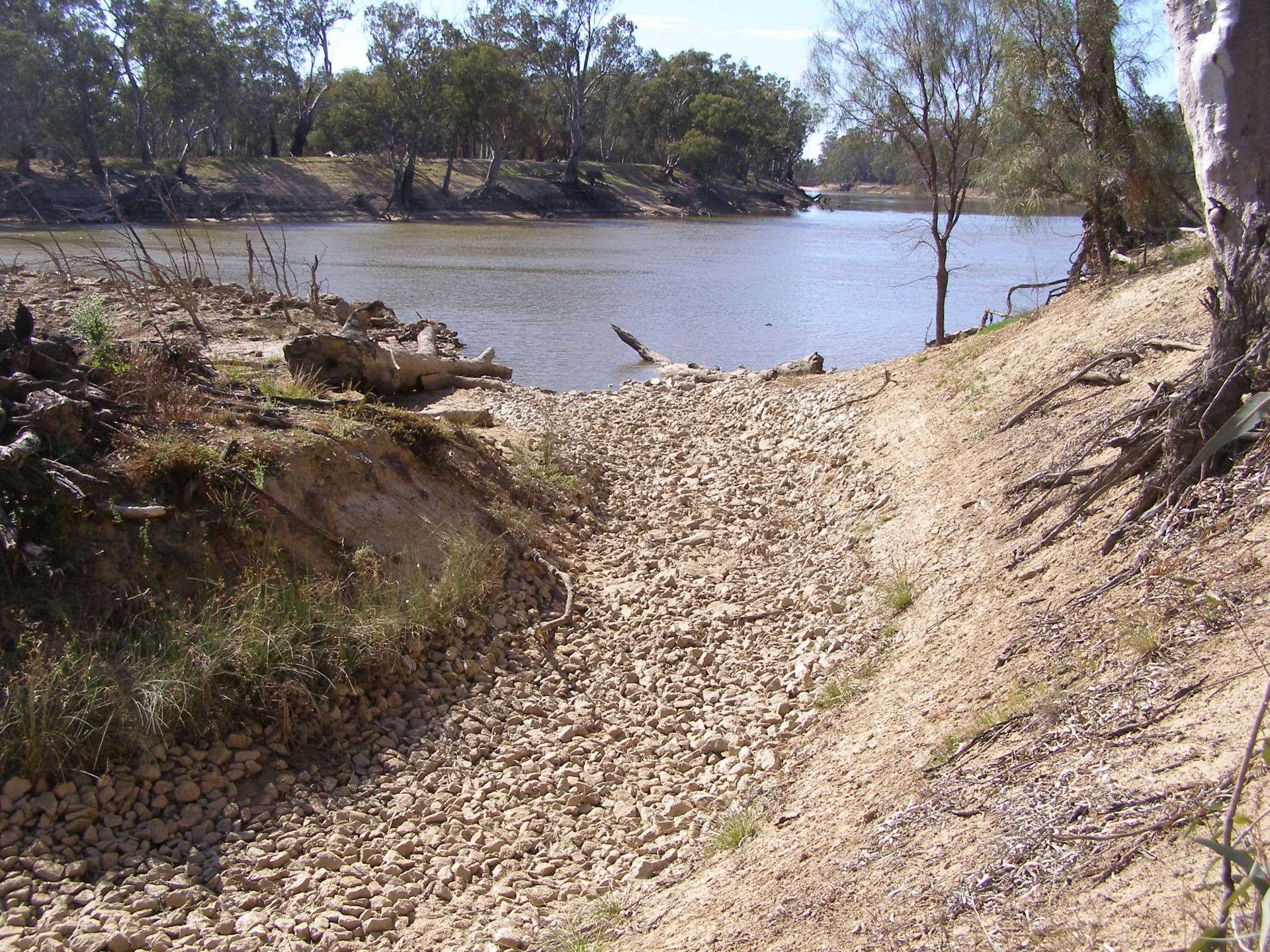
We will return the water to the river via a rock chute – a rocky path that slows the water’s return to the river. It’s a tried and tested way to avoid erosion and reduce the risk of damage to the stream banks, vegetation and cultural heritage values.
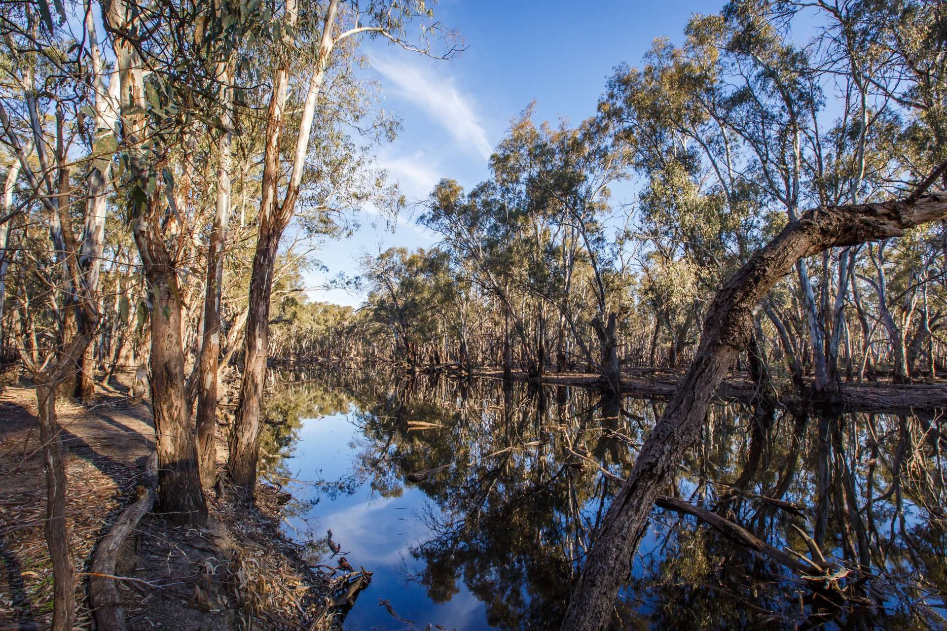
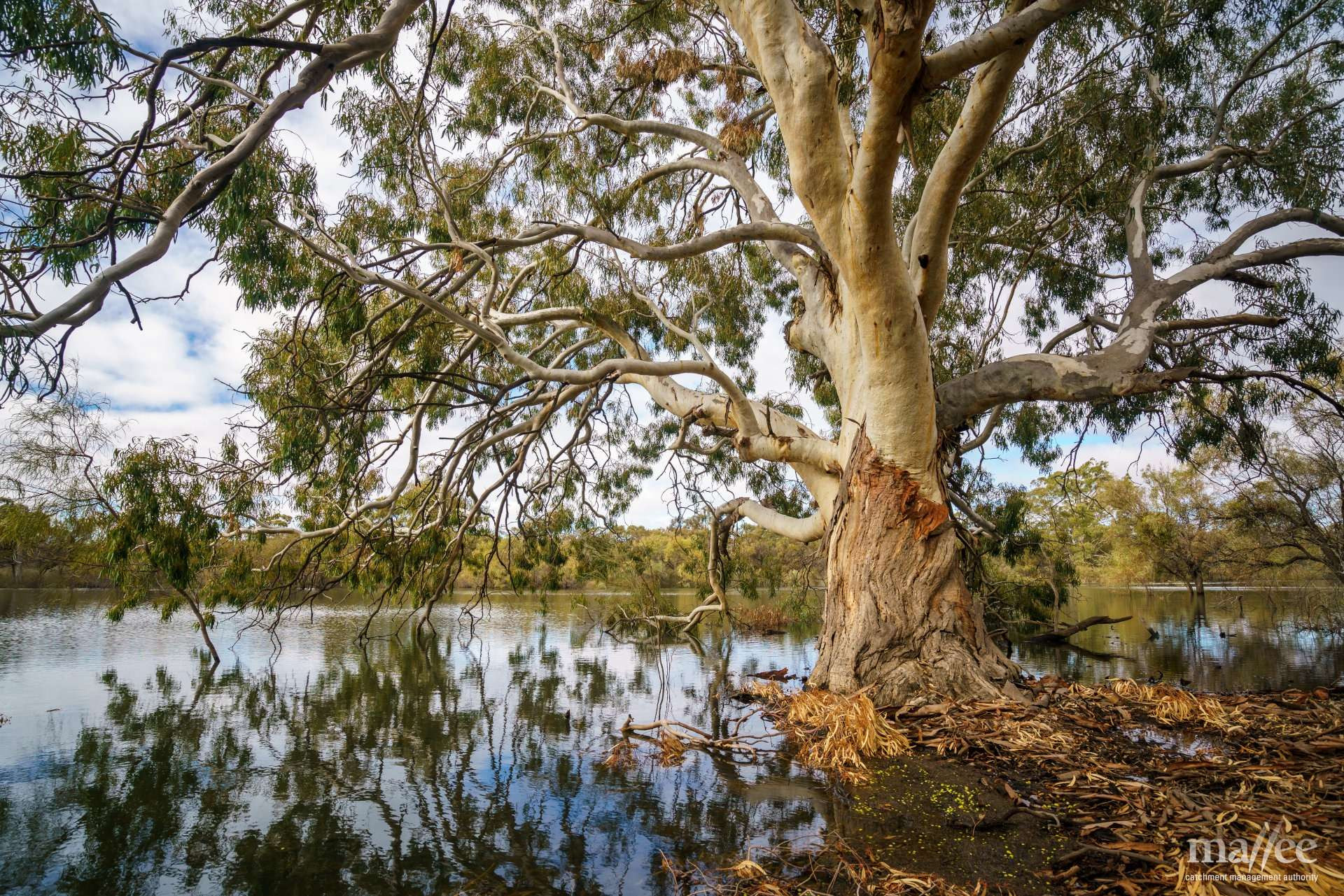
Nyah-Vinifera Park is home to majestic forests with century-old red gums and beautiful billabongs and wetlands. The park provides food and habitat for a vast array of animals and plants, including waterbirds, woodland birds, mammals and reptiles, and small and large-bodied fish.
We will remove the redundant irrigation infrastructure once used by the old Nyah golf course.
Tracks used during construction to transport equipment and materials will be restored and left in good condition at project completion.
The carpet python and black wallaby are common in the park, along with the swamp wallaby, grey-crowned babbler and other woodland species.
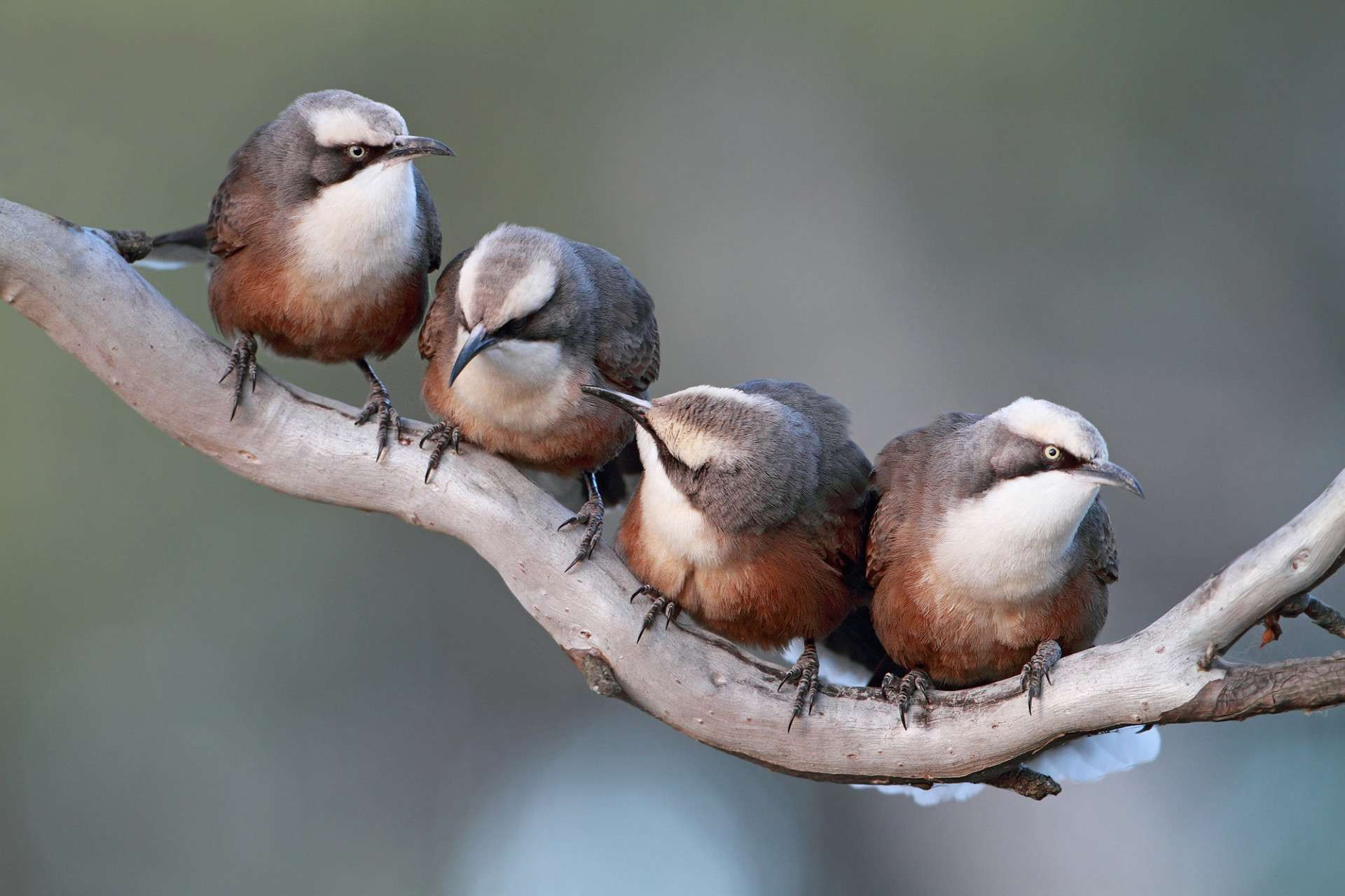
Photo: Chris Tzaros @Birds Bush and Beyond
Raised tracks (containment banks) will look similar to the one pictured here at Hattah Lakes.
The infrastructure we build will enable us to get floodwater on and off the floodplain during winter and spring, reducing the risk of blackwater events and mosquitoes.

The southern end of Parnee Malloo Creek has been modified over time, restricting the flow of water into the floodplain. Two small regulators and a temporary pump area will be built here. Water will be delivered through a combination of natural inflows and, in times when the floodplain is too dry, by temporary pumping using environmental water entitlements.
A rock chute will extend into the banks and bed of the river on the New South Wales border. A rock chute is a rocky path that slows the water’s return back to the river. It’s a tried and tested way to avoid erosion and reduce the risk of damage to the stream banks, vegetation and cultural heritage values.
Raised tracks (containment banks) will look similar to the one pictured here at Hattah Lakes.
Four small regulators and 2.3 km of containment banks will enable us to get water onto the Vinifera floodplain and hold it there for as long as needed.
Regulators will be similar in scale to Horseshoe Lagoon regulator at Wallpolla Island, pictured here.
The infrastructure we build will enable us to get floodwater on and off the floodplain during winter and spring, reducing the risk of blackwater events and mosquitoes.
As much as possible, new infrastructure is sited on areas that are already disturbed, such as existing access tracks. This helps us minimise ecological impacts during construction.
Tracks used during construction to transport equipment and materials will be restored and left in good condition at project completion.
Nyah-Vinifera Park is home to majestic forests with century-old red gums and beautiful billabongs and wetlands. The park provides food and habitat for a vast array of animals and plants, including waterbirds, woodland birds, mammals and reptiles, and small and large-bodied fish.
Water will be delivered through a combination of natural inflows and, in times when the floodplain is too dry, by temporary pumping using environmental water entitlements. A hardstand at the southern end of the creek will enable us to bring in a temporary pump.
Vinifera Creek has been modified over time and is now completely disconnected from the Murray at the southern (upstream) end. This area now functions as a separate wetland.
Lake Boolca relies on occasional very high floods from the southern (TLM) part of the Hattah Lakes system.
The Bitterang Regulator will be similar in scale to Oatey’s Regulator built at Hattah Lakes under TLM.
A regulator will be built in the existing Bitterang levee to allow flood waters to flow north into the Lake Boolca area during very high flood events.
A hardstand will also be built to allow TLM water to be pumped over the levee in lower flood events.
Hattah Lakes is in the Hattah Kulkyne National Park. Camping, walking, bike riding and canoeing are popular here.
With these works, we can target different parts of the floodplain to improve the condition of 1,130 hectares of Red Gum forests and woodlands, Black Box woodlands and episodic wetlands.
The southern part of the Hattah Lakes floodplain underwent extensive restoration work under The Living Murray (TLM) program in 2013. It is a great example of how infrastructure can be used to reconnect the river to its floodplains to restore health. TLM works were designed with the flexibility to extend to the north when more funding became available.
TLM works and VMFRP infrastructure will be operated together.
The Hattah Lakes are Ramsar listed and provide important habitat and breeding sites for more than 47 waterbird species, including a number listed under international and national agreements. More than 20,000 waterbirds have been recorded when the lakes are flooded!
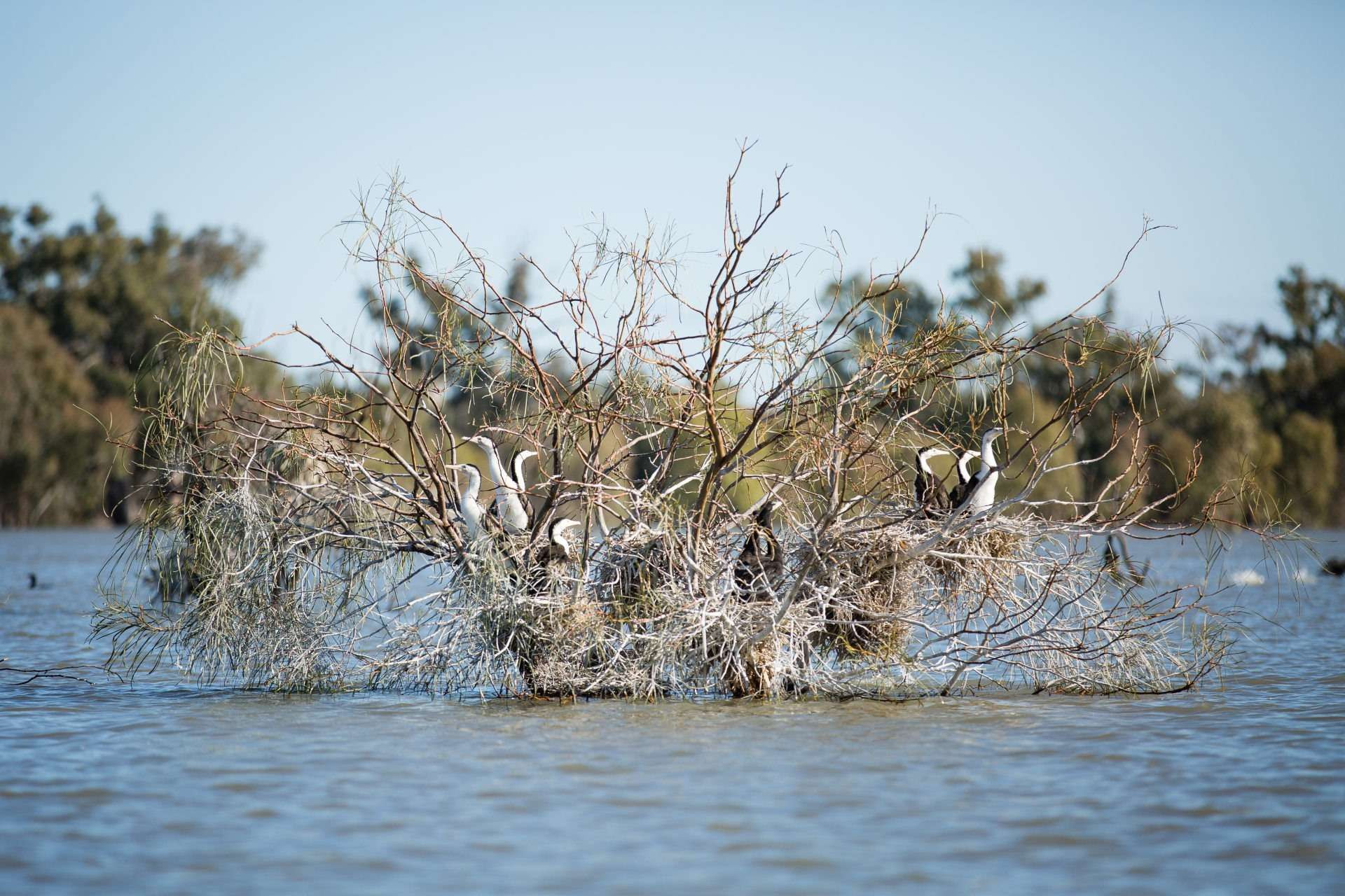
Photo: MCMA
The regulators at Chalka Creek will be similar in scale to Horseshoe Lagoon Regulator built under TLM at Wallpolla Island.
Raised tracks (containment banks) will look similar to those already built in the southern end of Hattah Lakes.
As much as possible, planned works are sited on existing access tracks to minimise ecological impacts during construction. Tracks used during construction to transport equipment and materials will be restored and left in good condition at project completion.
Lake Carpul relies on very high and occasional floods. Under our current environmental water program, we can pump water onto limited areas of Lake Carpul with good results, but it’s not enough.
Lake Powell is a floodplain lake. It relies on very high, occasional flows. Under our current environmental water program, we can pump water onto limited areas of Lake Powell with good results, but it’s not enough.
An underground pipeline will be built to connect Lakes Powell and Carpul to a temporary pump site located on Bonyarical Creek.
Narcooyia Creek has been significantly modified for use as a delivery channel for irrigation water. Water is currently pumped from the Murray River into the creek to meet irrigation demand. Operation of the environmental works has been planned to ensure irrigation supply is maintained, along with access to irrigation infrastructure during environmental watering events.
One very large regulator with a fishway will be built here, similar in scale to the regulator at Chowilla Creek Weir in South Australia, shown here.
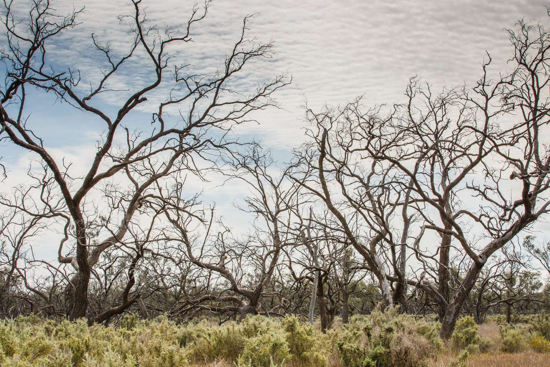
Some Black Box communities are waiting up to 18 years for a drink. They used to see water about once every six years.
We currently see the highest concentration of regent parrots nesting in colonies at Belsar-Yungera and Hattah Lakes, where we still have larger areas of century-old gum trees.
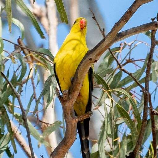
Belsar-Yungera is home to century-old red gums and beautiful billabongs and wetlands. The mix of forests and wetlands supports nationally threatened species such as the regent parrot, the white-bellied sea eagle and Murray cod.
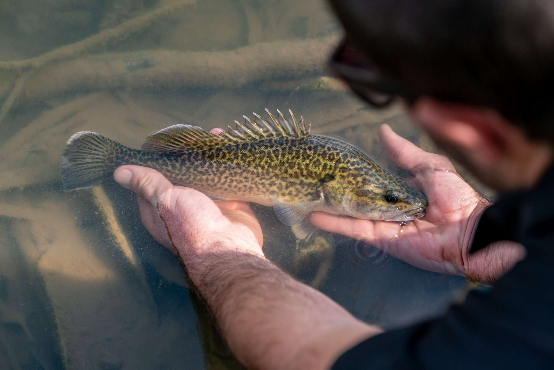
Photo: MCMA
Most of the regulators (18 of 21) are small in scale and will be similar in scale to Horseshoe Lagoon regulator at Wallpolla Island, pictured here.
The works at Belsar-Yungera can target different parts of the floodplain to improve the condition of 2,374 hectares of Lignum shrubland, Red Gum forest and Black Box forests and woodlands.
Raised tracks (containment banks) will look similar to the one pictured here at Hattah Lakes.
Hardstand areas will be built at strategic points to enable us to bring in temporary pumps, for use when the floodplain gets too dry.
The VMFRP will upgrade about 50 km of existing access tracks. Any tracks used during construction to transport equipment and materials will be restored and left in good condition at project completion. Improving access tracks beyond this is outside the scope of this project.
Raised tracks (containment banks) will look similar to the one pictured here at Hattah Lakes.
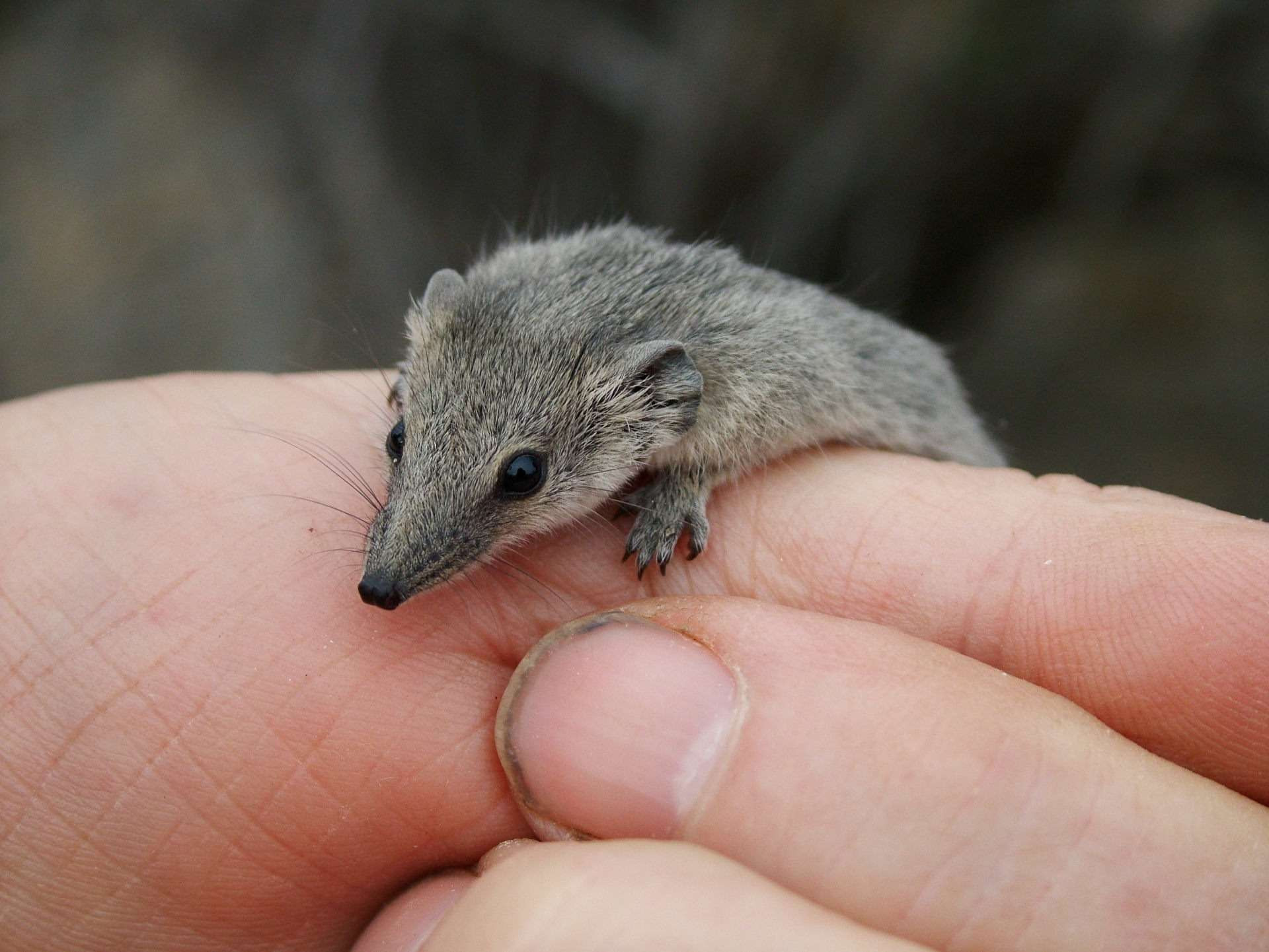
Lindsay Island consists of a variety of habitats including Red Gums, Black Box, Lignum shrubland and Saltbush. These habitats support both water-dependent species and many species that are not water dependant but rely on or use healthy floodplain habitat for all or parts of their lifecycle. At Lindsay Island, this includes De Vis’ banded snake, carpet python, Giles’ planigale, the beaked gecko, and many bush birds like the regent parrot, honeyeaters, robin and wrens.
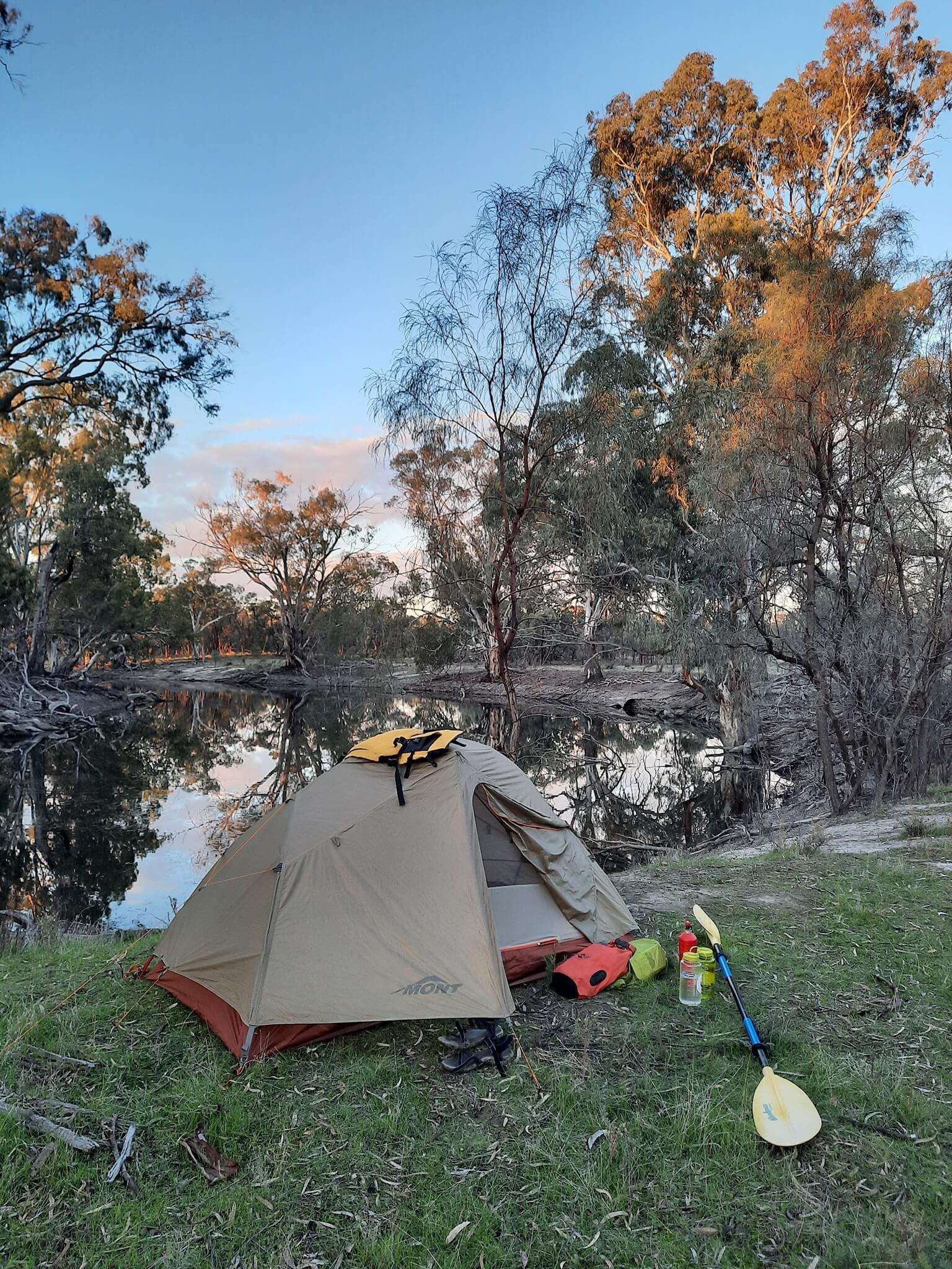
Lindsay Island is a popular place for boating, photography and camping. It is part of the Murray-Sunset National Park.
As much as possible, new infrastructure will be sited on areas that are already disturbed, such as existing access tracks. This helps us minimise ecological impacts during construction.
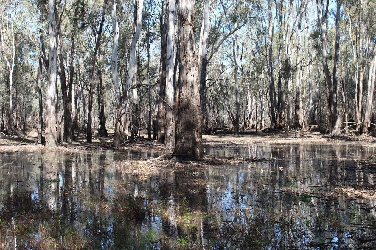
Lindsay Island includes a semi-permanent wetland called Lake Wallawalla. When the lake is full, it is populated by thousands of pelicans and water birds. Some 210 bird species, 49 of which depend on water habitats, use the floodplain for breeding, feeding and roosting. Some of these birds are listed under international migratory bird agreements.
The Chowilla-Lindsay-Wallpolla floodplain was chosen for floodplain restoration works under The Living Murray because of its ecological significance. Two regulators were built at Lake Wallawalla.
Smaller regulators will be similar in scale to Horseshoe Lagoon regulator at Wallpolla Island pictured here.
Lock 7 controls the flow of water into Mullaroo Creek and the Lindsay River. We can raise Lock 7 to push water through Lindsay Island.
River regulation has had a significant impact on the health of this floodplain. As well as shorter, less frequent and less extensive flooding, the interval between floods has doubled, making it much harder for the floodplain to regenerate when the water finally does return. We are seeing dry periods of between 10 and 18 years. This is too long for floodplain plants and animals to persevere.
As much as possible, new infrastructure will be sited on areas that are already disturbed, such as existing access tracks. This helps us minimise ecological impacts during construction. We will upgrade about 40 km of existing access tracks.
Four of the 18 regulators will be large and similar in scale to the Pike Floodplain Regulator in South Australia, pictured here.
Lignum shrubland covers extensive areas of Wallpolla Island. Flooded Lignum provides nesting platforms for waterbirds and food and habitat for small native fish species and frogs. When dry, Lignum shrublands provide cover and a source of prey for small mammals and are the preferred habitat of the Giles’ planigale.
The works at Wallpolla Island can target different parts of the floodplain to improve the condition of 2,672 hectares of wetlands, Red Gum forests, Lignum shrubland and Black Box woodland.
Wallpolla Island has a variety of habitats which supports water-dependent species such as fish, waterbirds, frogs and turtles and many species that are not water dependant, but rely on or use healthy floodplain habitat for all or parts of their lifecycle, such as De Vis’ banded snake, Giles’ planigale, the beaked gecko, and many bush birds.
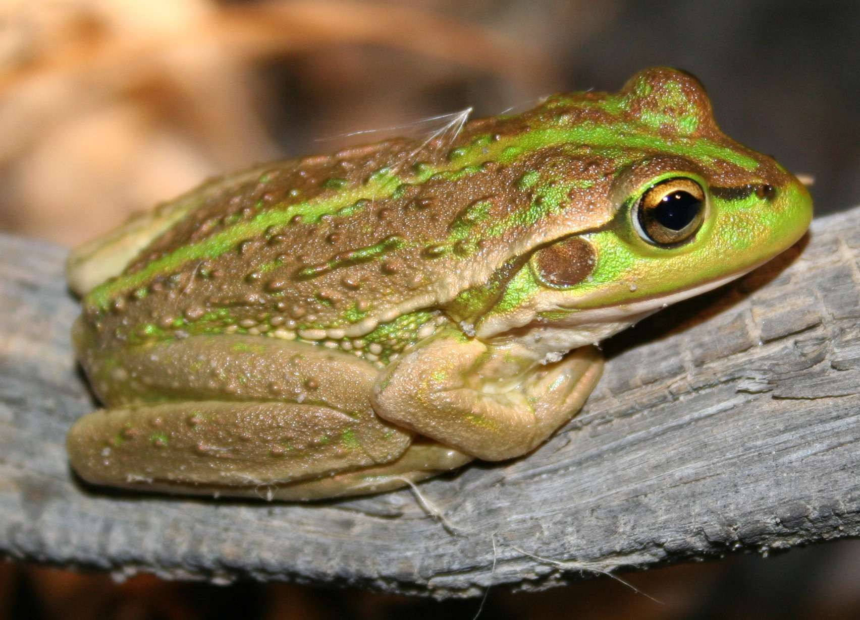
Photo: Clare Mason
Four hardstands will enable us to bring in temporary pumps to deliver water if the floodplain stays too dry for too long.
Wallpolla Island is a popular place for recreation, including camping, fishing, photography and birdwatching. It is part of the Murray- Sunset National Park.
Wallpolla Island is listed in the Directory of Important Wetlands in Australia. These works complement and build on environmental watering works constructed in 2006 under The Living Murray (TLM). Twelve of the 16 regulators planned for this site will be similar in scale to the small Horseshoe Lagoon regulator built under TLM, as pictured here.