-
-
Creeklines
-
Western Sydney Parklands Biobanking Site
-
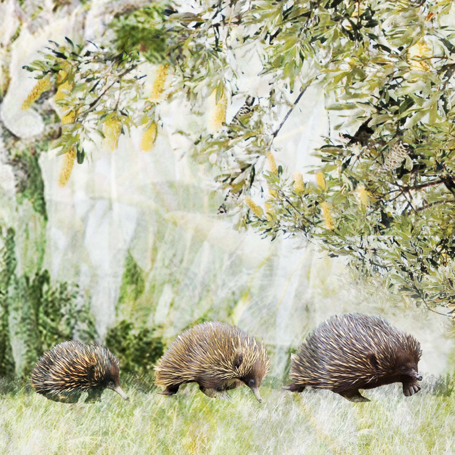
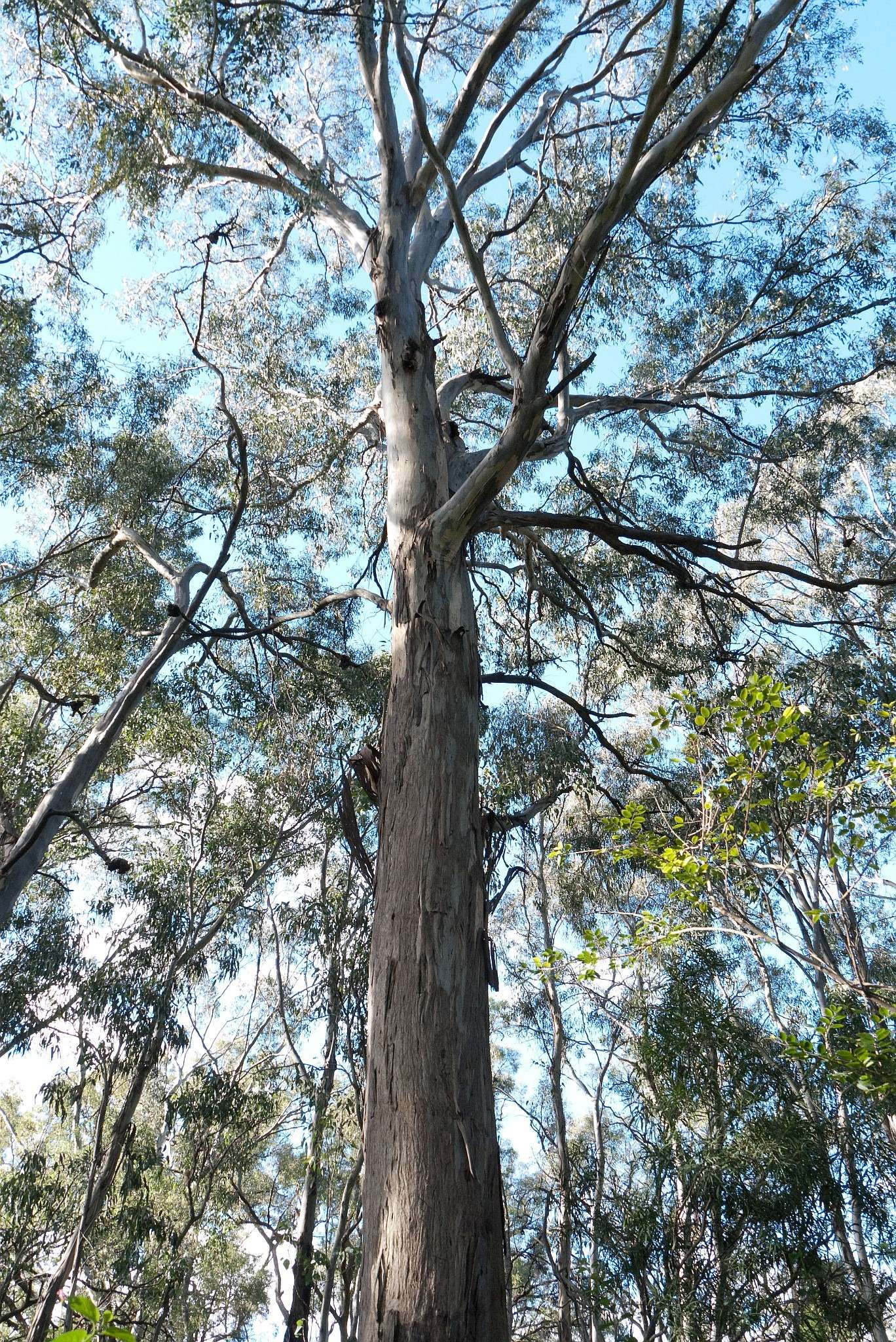
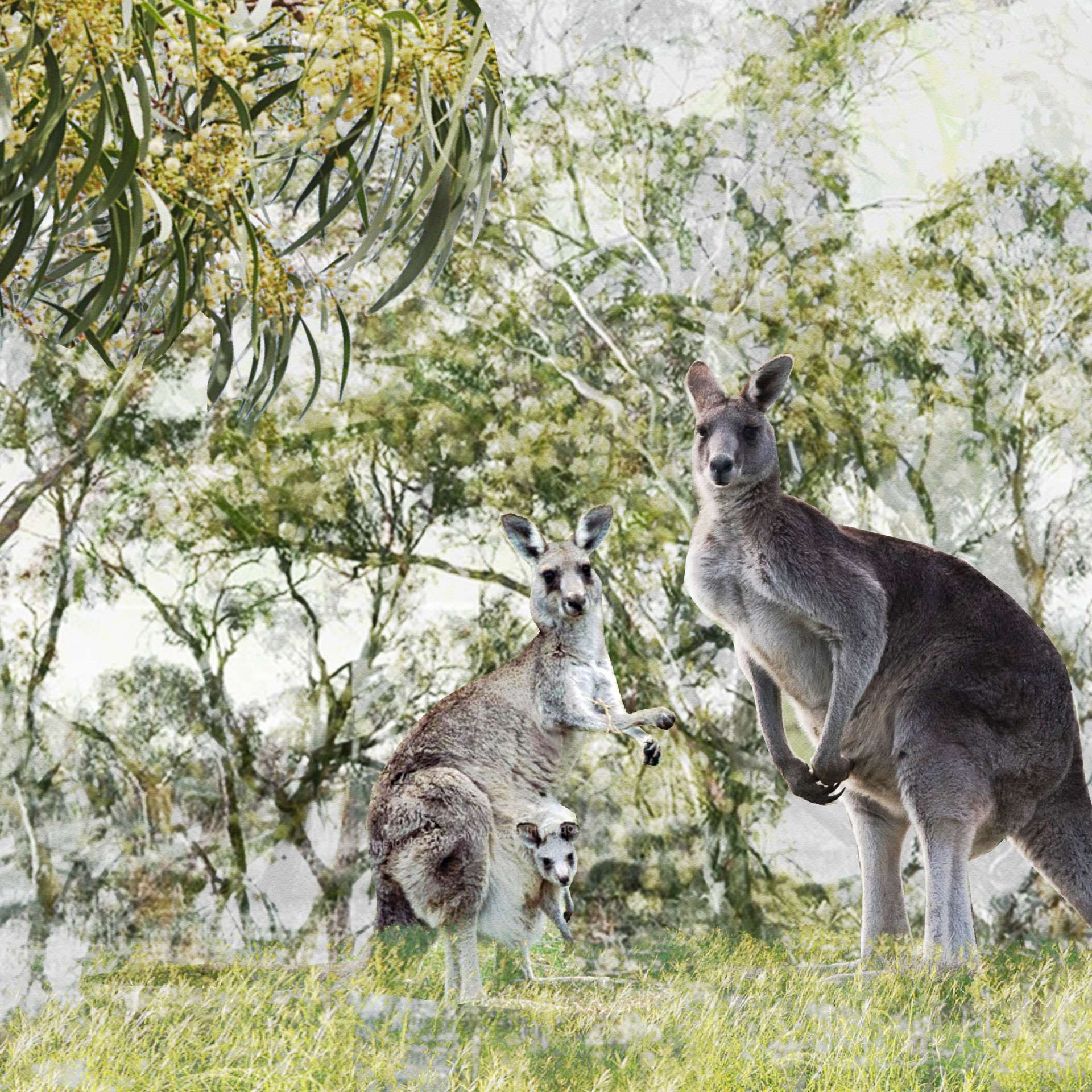
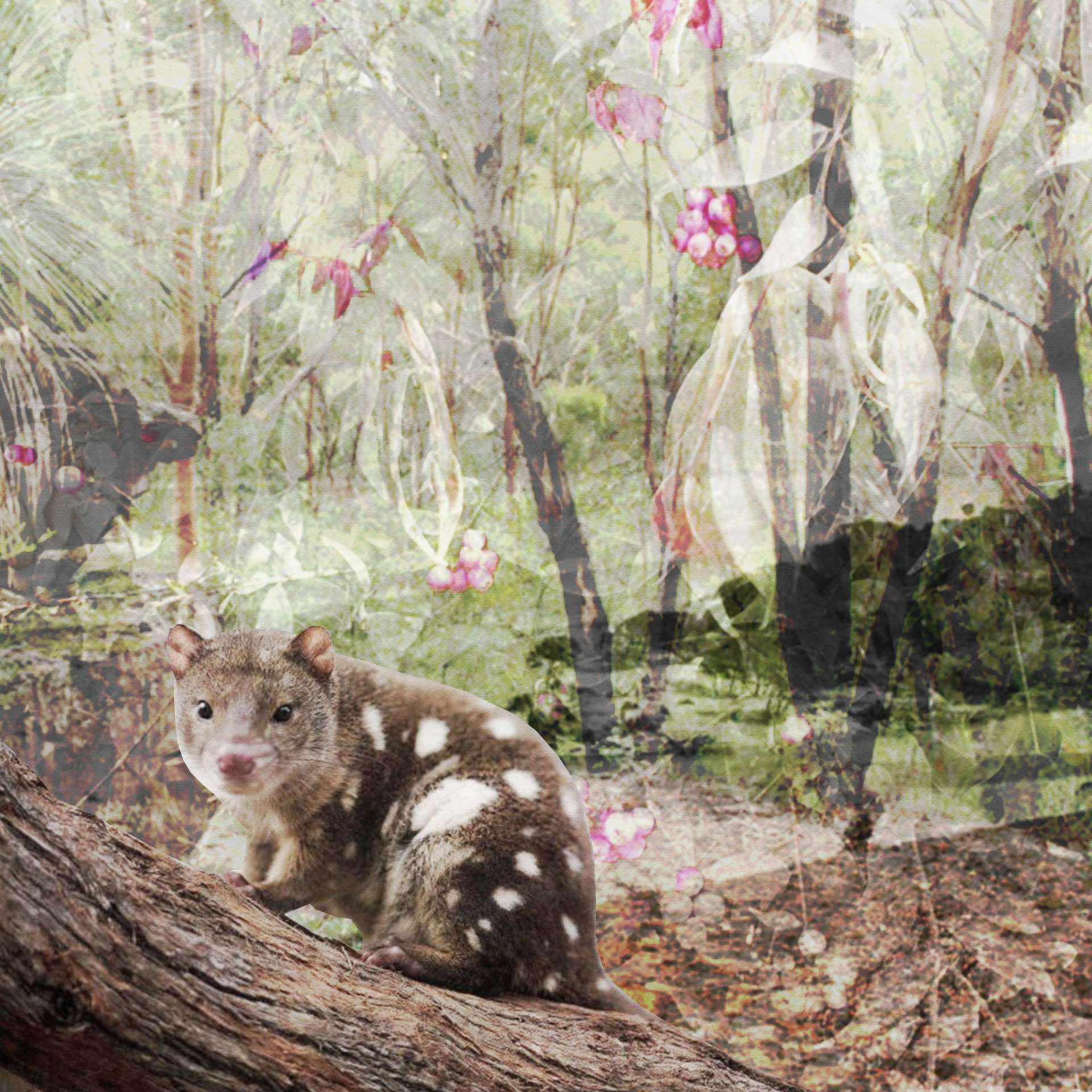
Native vegetation
-
National Parks and Wildlife Services estate
-
Certified lands
-
Property access changes
-
Construction haulage routes
-
Existing path to be retained/relocated
-
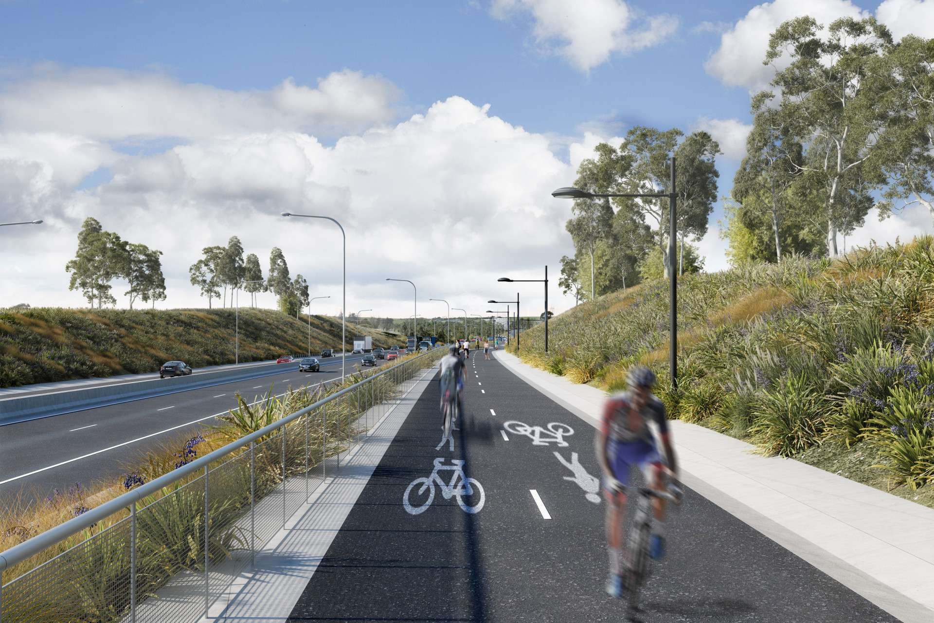
New shared user path
-
Proposed walkways and cycleways
-
Proposed road
-
Existing bike track
-
Existing bike track -
to be removed -
WSP boundary
-
Sydney International Shooting Centre boundary
-
New BMX track / Pump track
-
New parking
-
Existing entry area -
to be removed -
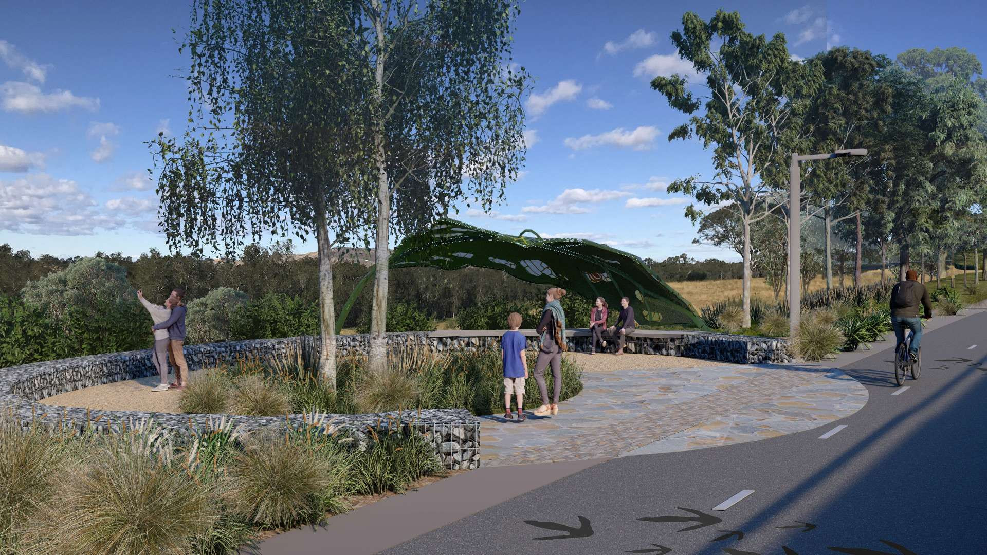
Social infrastructure
-
Utilities
-
Impacted properties
-
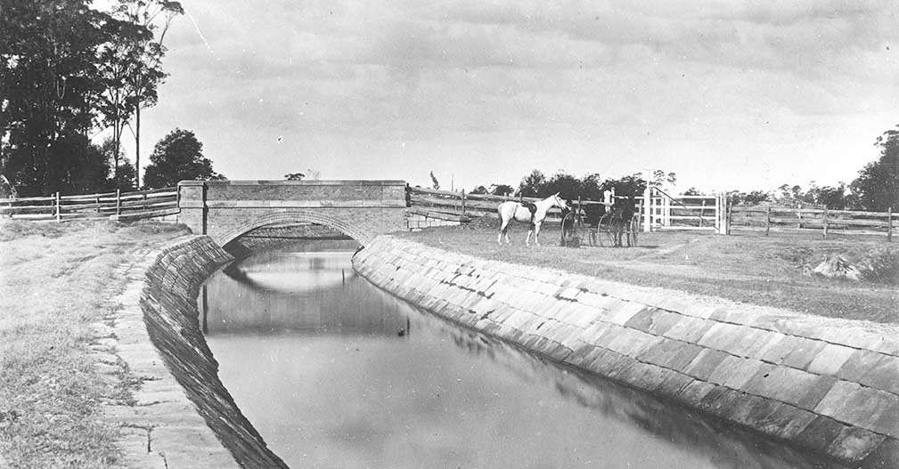
Non-Aboriginal heritage items - state significant
-
Non-Aboriginal heritage items - locally significant
-
State and potentially nationally signficant
-
Predicted noise levels
-
>70 dBA
-
65 to 70 dBA
-
60 to 65 dBA
-
55 to 60 dBA
-
50 to 55 dBA
-
45 to 50 dBA
-
<45 dBA
-
Predicted change in noise level
-
>2 dB
-
0 to 2 dB
-
<0 dB
-
Flood depth
-
< 0.2m
-
0.2 to 0.5m
-
0.5 to 1.0m
-
1.0 to 1.5m
-
1.5 to 2.0m
-
> 2.0m
-
Flood velocity
-
0.25 to 0.5ms-1
-
0.5 to 1.0ms-1
-
1.0 to 2.0ms-1
-
> 2.0ms-1
-
Critical transport corridors
-
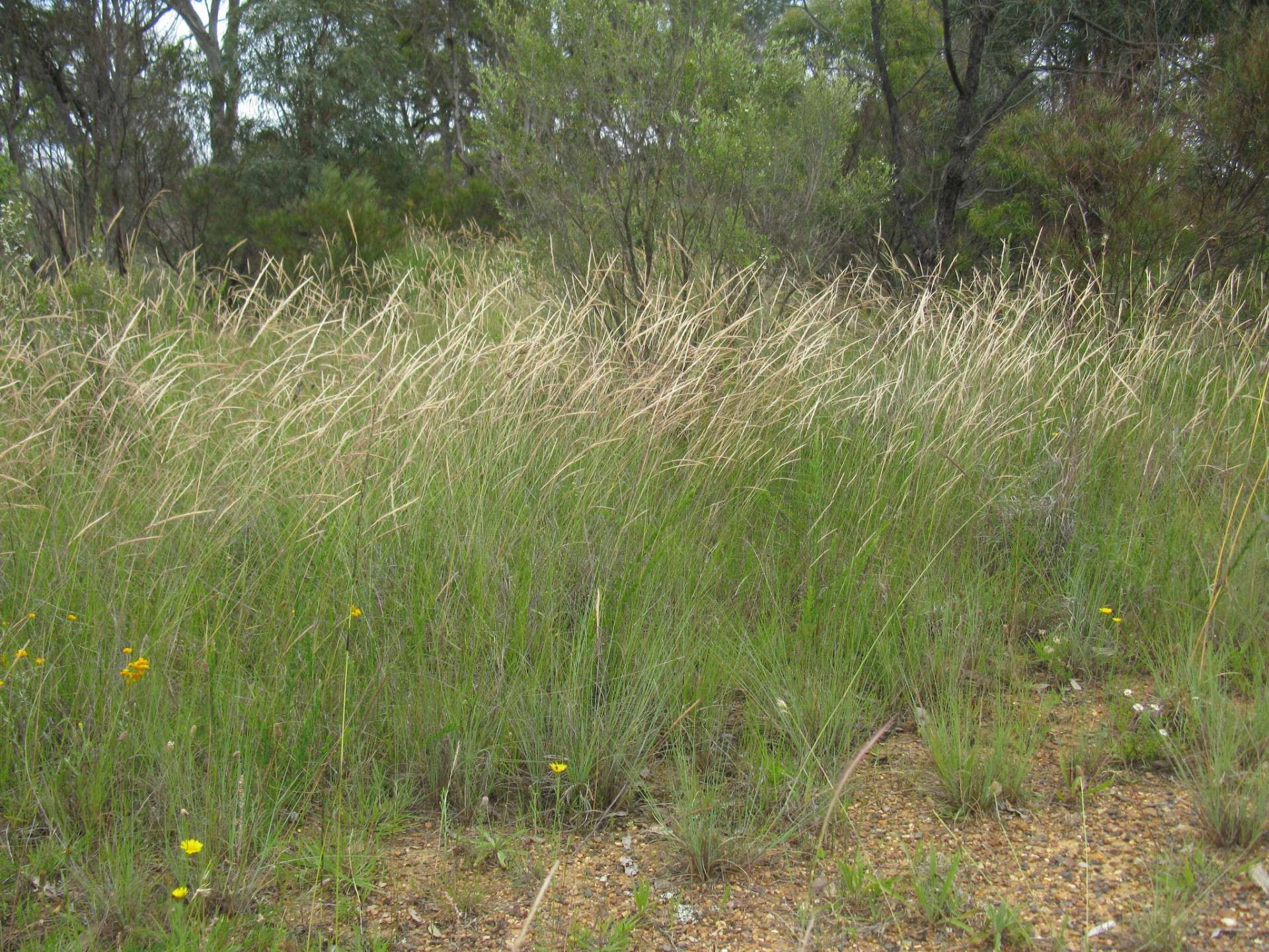
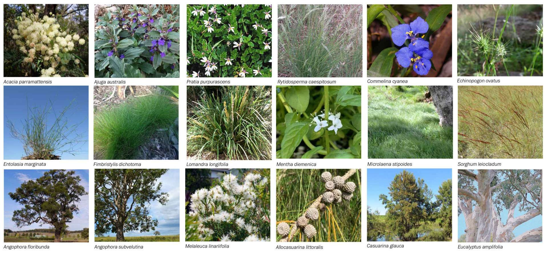
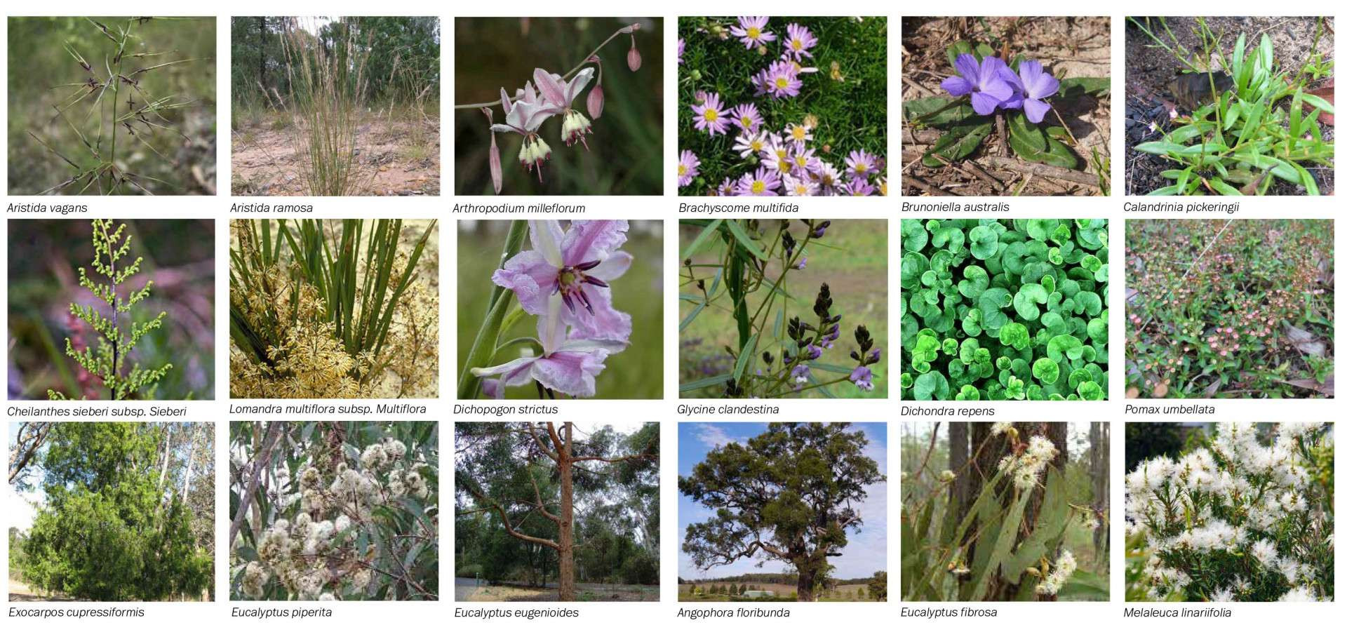
Pasture grass
-
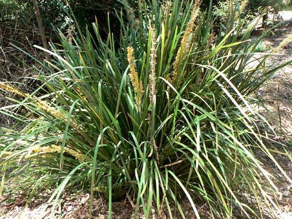
P1 - Grassland mix
-
P2 - Riparian margins mix
-
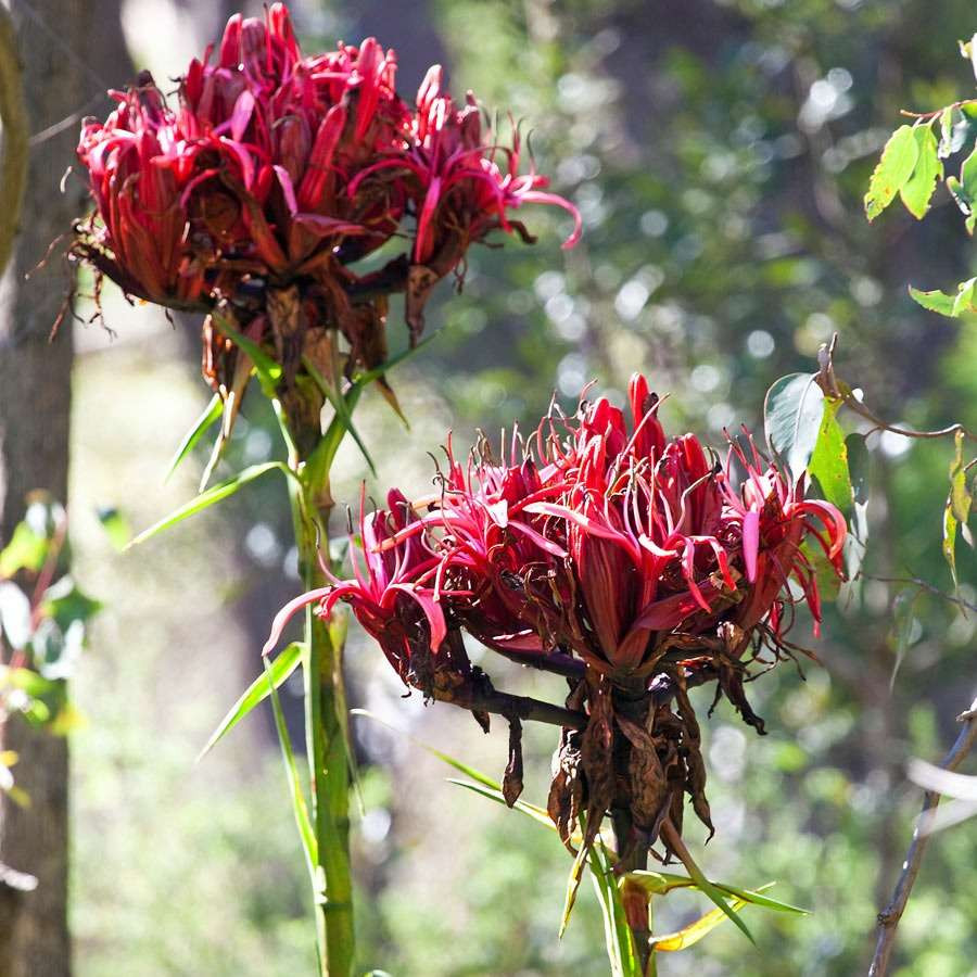
P3 - Native shrub (frangible) mix
-
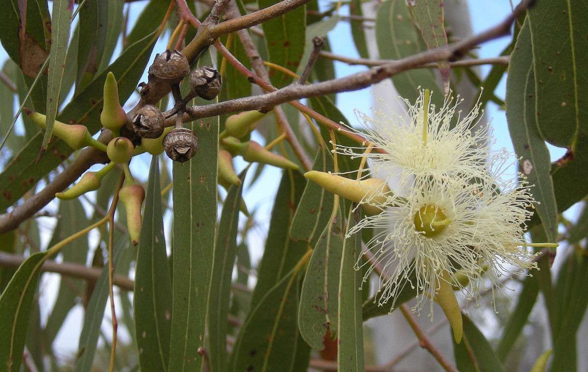
P4 - Forest mix
-
P5 - River flat forrest mix
-
P6 - Water quality treatment mix
-
P6 - Permanent water basin
-

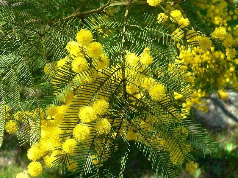
Broadacre Cumberland Plain Woodland
-

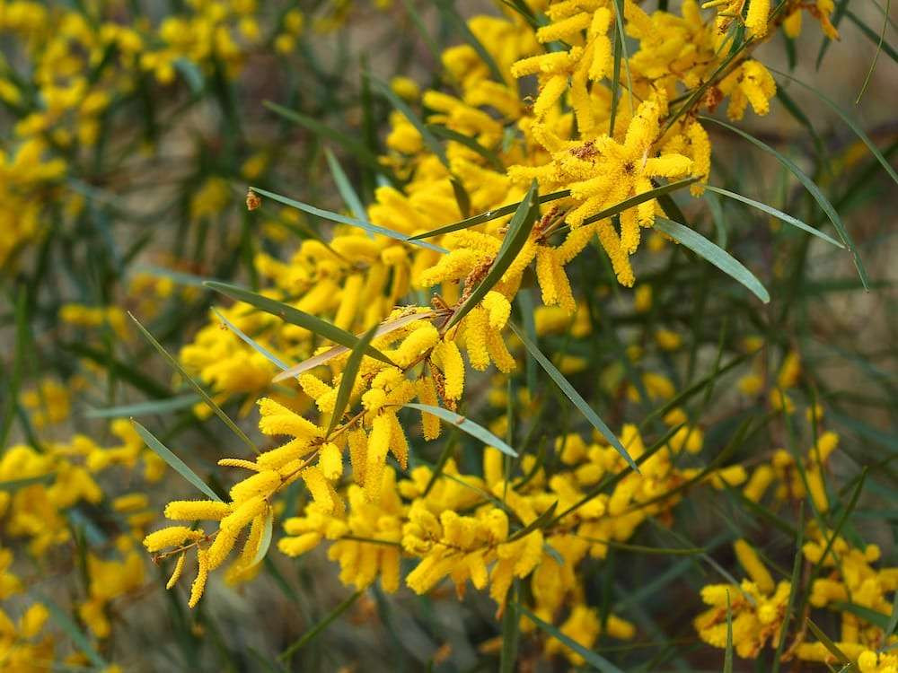
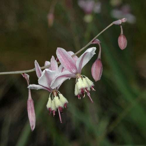
Cumberland Hills Open Woodland Revegetation
-

Swamp Oak Forest
-

River-Flat Forest on Alluvial Flats
-

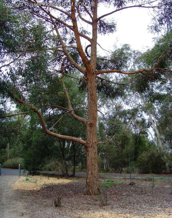
Shale-Gravel Transition Open Forest
-

Structured Plantings