About the Mascot intersection upgrades
Transport for NSW notified the community in October 2018 about plans to upgrade five intersections in Mascot to help reduce congestion and improve safety.
The plans include lane realignments, changed median strips and footpaths, new pedestrian crossings and changes to traffic lights and signs.
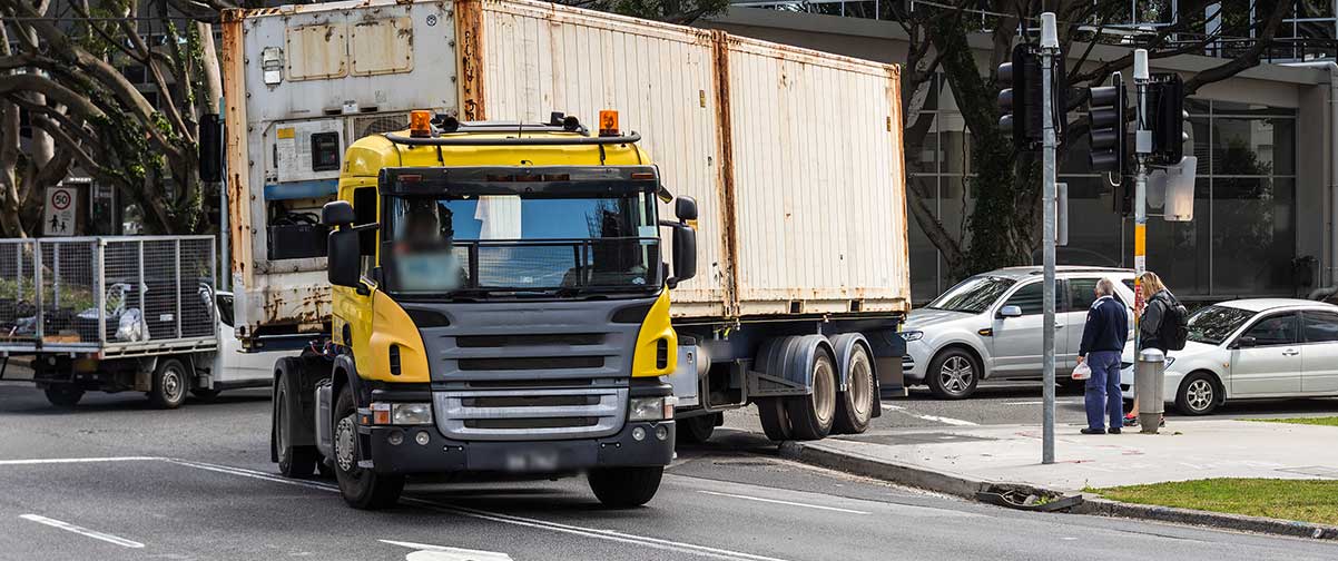
The improvements will also help better manage heavy vehicle movements in the area.
Work started in mid-2019 and was completed in October 2020.
All five upgrades are now completed:
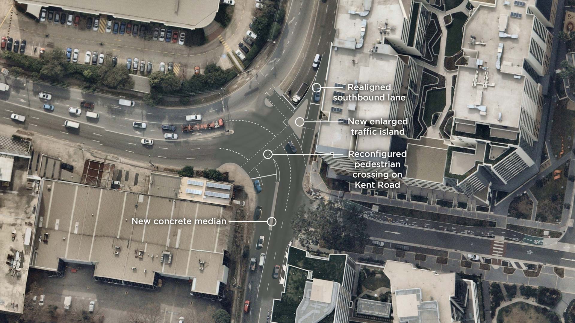
- Kent Road/Rickety Road
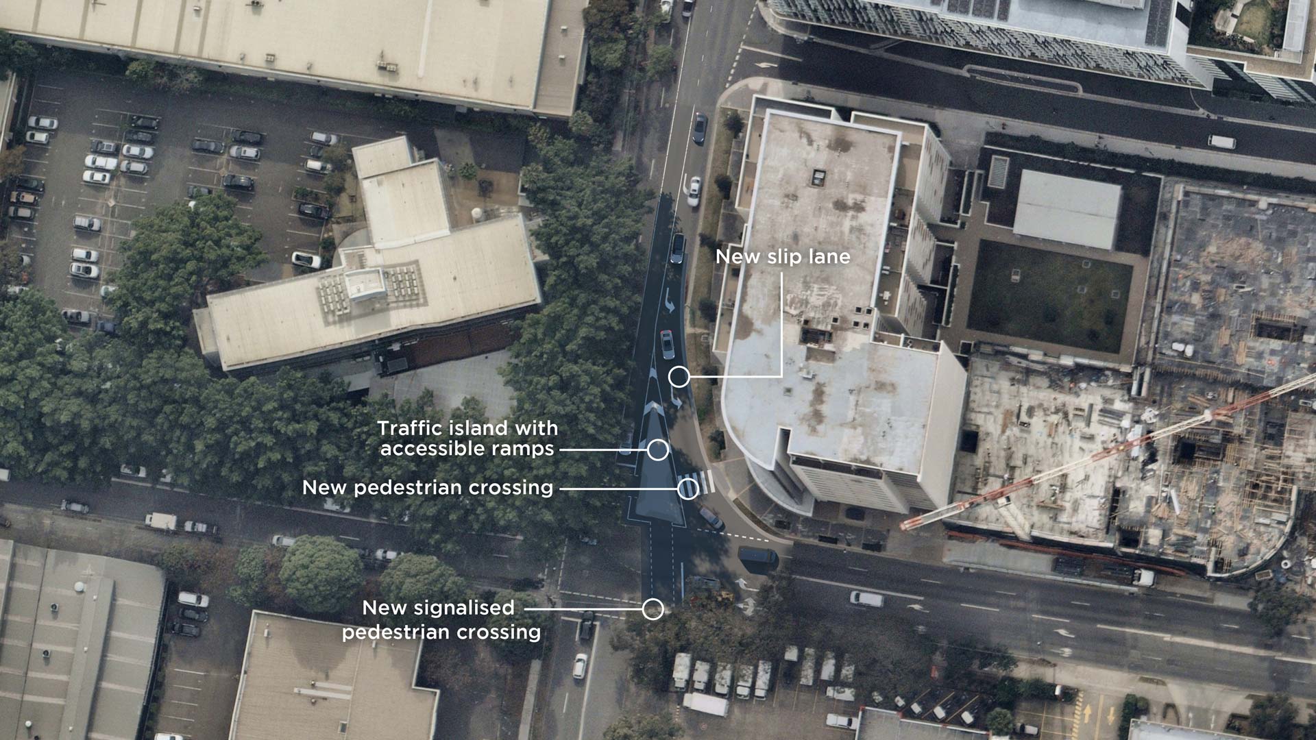
- Coward Street/Kent Road
- Bourke Street/Coward Street
- Gardeners Road/Botany Road
- Gardeners Road/O’Riordan Street
Thank you for your patience while we are delivering this important work. Your support is important as we continue to deliver safer and more efficient journeys throughout NSW.
https://www.rms.nsw.gov.au/projects/mascot-intersections/index.html
Click on a project hot spot on the map to get startedGardeners Road and O’Riordan Street
Due to permanent changes to some routes, road users would need to find different ways to reach their destinations.
As part of the project design, Roads and Maritime has assessed alternative routes to identify different options.
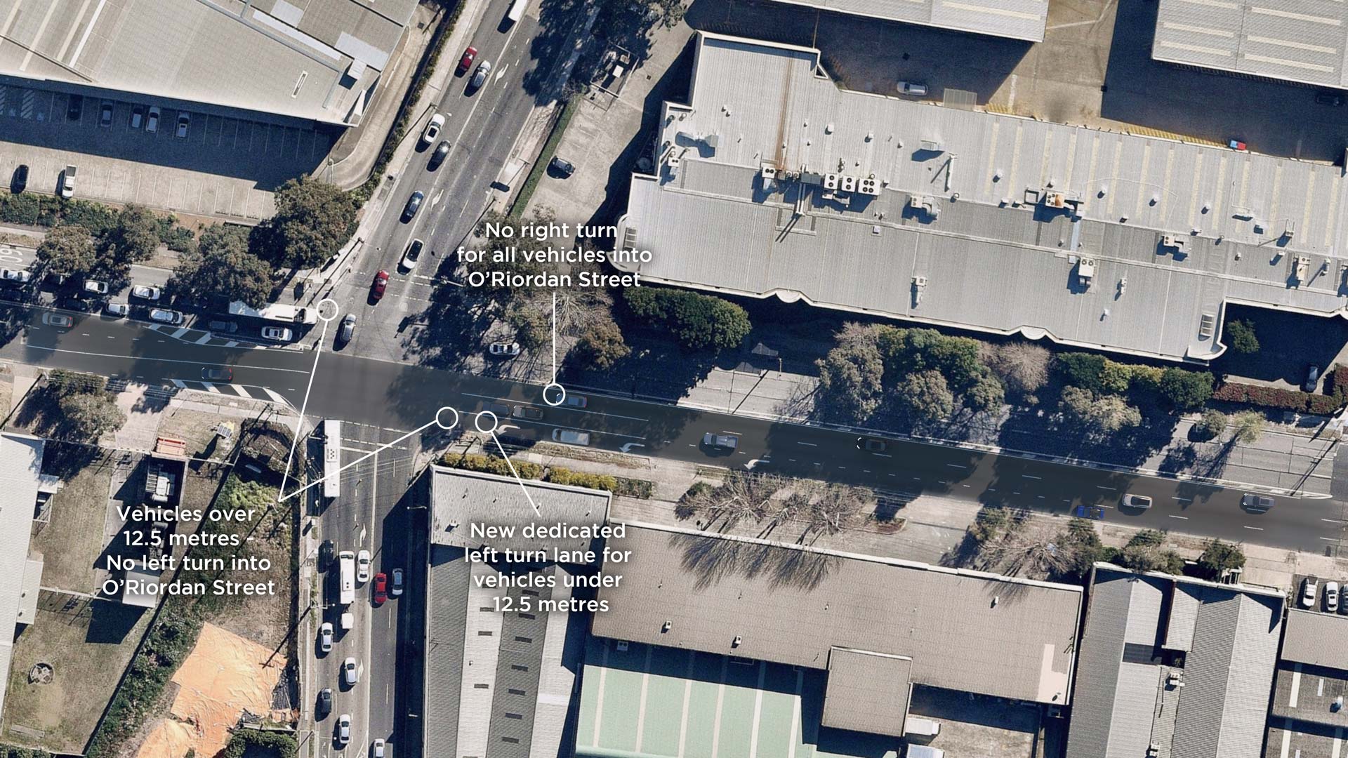
- Existing route to access O'Riordan Street (north) is via Gardeners Road (east). A full-time right turn ban is proposed for all vehicles into O'Riordan Street.
- An alternative route to access O’Riordan Street (north) is via Botany Road (southbound) and Coward Street (westbound).
Coward Street and Bourke Street
Due to permanent changes to some routes, road users would need to find different ways to reach their destinations.
As part of the project design, Roads and Maritime has assessed alternative routes to identify different options.
- Existing route to access Bourke Street (north) is via Coward Street. A right turn ban is proposed from Coward Street (east) to Bourke Street (north) for all vehicles.
- An alternative route to access Bourke Street (north) is via Coward Street, Kent Road and Gardeners Road.
- A second alternative route to access Bourke Street (north) is via Coward Street, O’Riordan Street, and Gardeners Road.
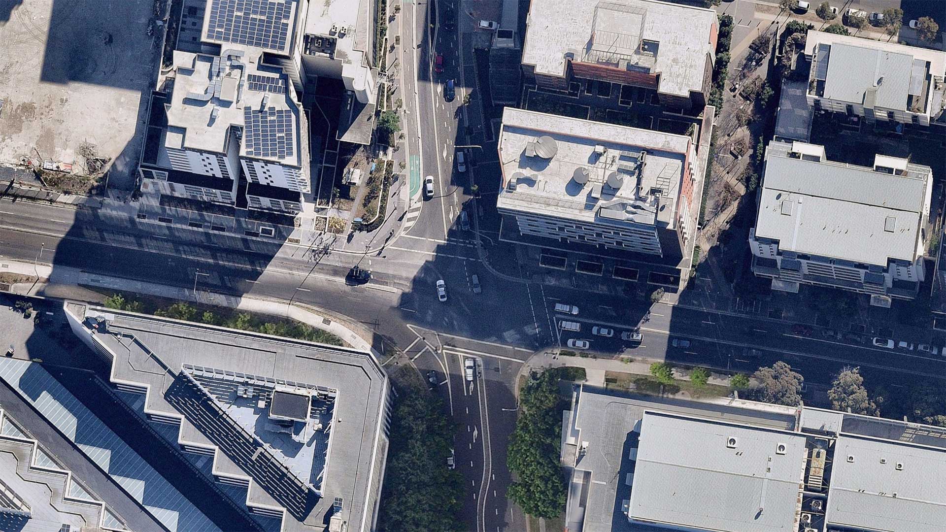
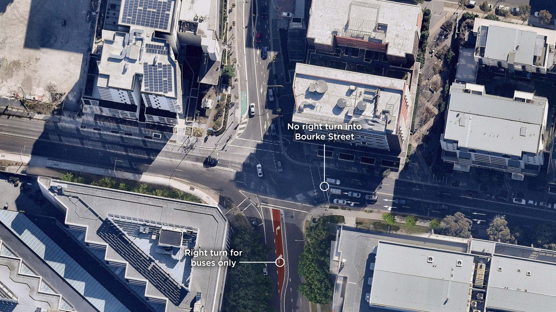
Bourke Street and Coward Street
Due to permanent changes to some routes, road users would need to find different ways to reach their destinations.
As part of the project design, Roads and Maritime has assessed alternative routes to identify different options.
- Existing route to access Coward Street is via Bourke Street (northbound). A right turn ban is proposed from Bourke Street (south) to Coward Street (east) for all vehicles except buses.
- An alternate route to access Coward Street is via O'Riordan Street.
- A second alternate route to access Coward Street is via Gardeners Road and Kent Road.
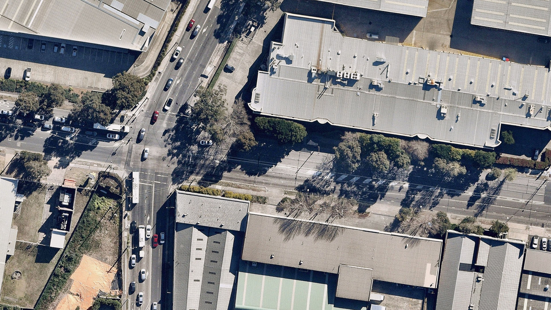
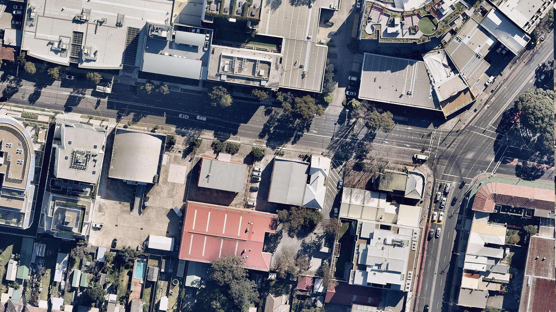
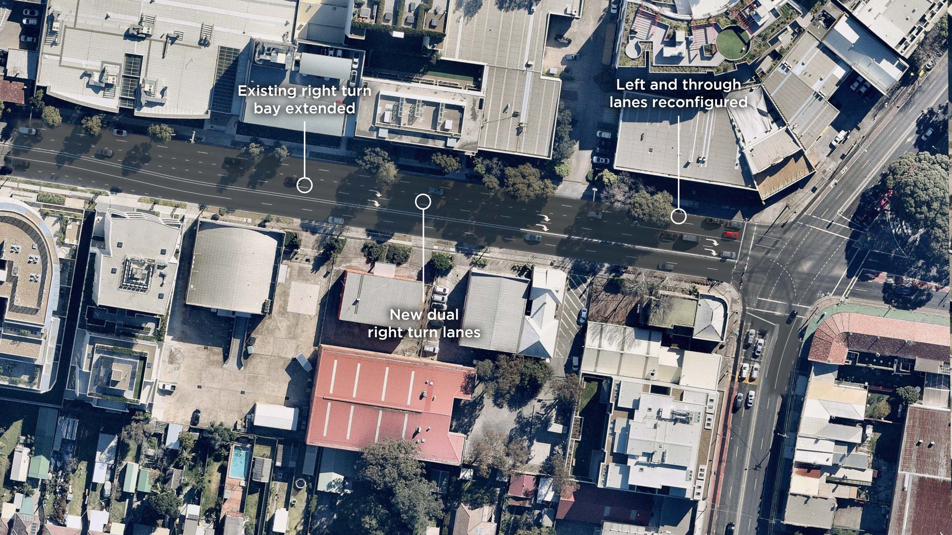
Gardeners Road and O'Riordan Street
Due to permanent changes to some routes, road users would need to find different ways to reach their destinations.
As part of the project design, Roads and Maritime has assessed alternative routes to identify different options.
- Existing route for left turns onto O'Riordan Street from Gardeners Road (west). A left turn ban is proposed for vehicles over 12.5 metres from Gardeners Road (west) into O'Riordan Street.
- Alternative route for vehicles over 12.5 metres for left turn ban from Gardeners Road (west)
Gardeners Road and O'Riordan Street
Due to permanent changes to some routes, road users would need to find different ways to reach their destinations.
As part of the project design, Roads and Maritime has assessed alternative routes to identify different options.
- Existing route for right turns onto O'Riordan Street from Gardeners Road (east). A full-time right turn ban is proposed from Gardeners Road (east) into O'Riordan Street.
- Alternative route for vehicles over 12.5 metres for right turn ban from Gardeners Road (east).
Gardeners Road and O'Riordan Street
Due to permanent changes to some routes, road users would need to find different ways to reach their destinations.
As part of the project design, Roads and Maritime has assessed alternative routes to identify different options.
- Existing route for left turns onto O'Riordan Street from Gardeners Road (east). A full-time left turn ban is proposed for vehicles over 12.5 metres from Gardeners Road (east).
- Alternative route for left turn ban for vehicles over 12.5 metres from Gardeners Road (east).

Thank you for your comment
Thank you for making a submission about the proposed Mascot intersection upgrades. We will continue to keep you informed of any project updates and progress if you have selected to subscribe.
Your feedback will be considered by Roads and Maritime Services before a decision is made on how to proceed with the proposal. Your feedback will also be considered as part of the Community Consultation Report.
We will endeavour to respond to all enquiries within three working days.
Click anywhere on the map to add another comment.