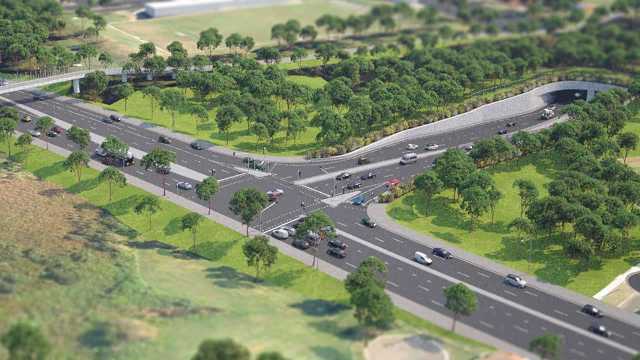
About M6 Stage 1
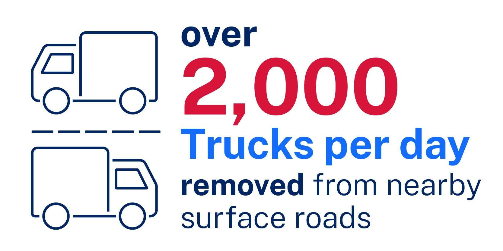
The M6 Stage 1 is the missing link from Sydney’s south to the Greater Sydney motorway network making journeys easier, faster and safer. It will remove more than 2,000 trucks a day from surface roads, and help return local streets to local communities.
Future Transport Strategy 2056 is the NSW Government's 40 year vision for transport outcomes in NSW. The M6 Stage 1 is a key part of this strategy, supporting safe, efficient and reliable journeys for people and freight.
This new underground tunnel will transform southern Sydney for generations to come, linking local communities and supporting employment opportunities and economic growth.
You can find locations of work sites as well as current construction work near you on our interactive map.
M6 Stage 1 objectives:
These project objectives have been identified to address the key Sydney road network issues:
Transport
Improve travel times and reliability for road users travelling between Southern Sydney and strategic centres in Greater Sydney while supporting faster and more reliable times for local bus customers and road users in Southern Sydney.Productivity
Support the future growth and productivity of Southern Sydney by improving connectivity between these regions and strategic centres in Greater Sydney.City shaping
The M6 Stage 1 will reduce through traffic along The Grand Parade and the Princes Highway supporting opportunities for urban renewal and place making.Community and environment
Stage 1 will minimise adverse impacts on the environment and the community during construction and operation.
The project will deliver:
Four kilometre twin tunnels linking the M8 Arncliffe to President Avenue, Kogarah.
Ramps between the main motorway tunnel and the surface intersection at President Avenue.
Tunnel stubs for a future connection south to extend the M6.
Motorway support infrastructure including tunnel ventilation systems and motorway control centres.
New utilities and permanent power supply line to bring power to the tunnels.
Explore the interactive map and find out how this project will change how we travel across Sydney and improve local amenities.
Road work is underway to deliver:
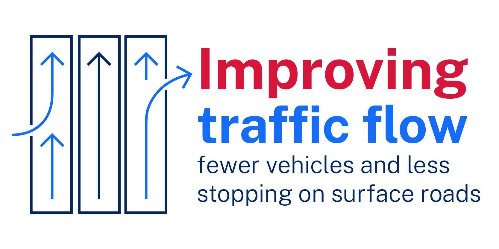
New intersection including the widening at President Avenue and Princes Highway to provide additional turning lanes to increase capacity and improve traffic flow with less stopping and starting.
Creation of a new intersection near West Botany Street and President Avenue for the new tunnel entrance.
Explore the interactive map and find out how this project will change how we travel across Sydney and provide opportunities for improved public Transport for NSW.
The new community recreation facilities at Brighton Le Sands and Rockdale are now available for you to enjoy and include new playing fields, all abilities playgrounds, a mega skate park, picnic facilities and more car parking.
Explore the digital tours to learn more about what’s on offer.
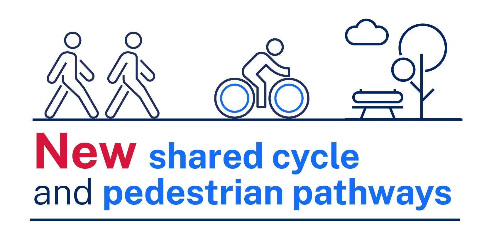
The M6 Stage 1 will deliver a shared pedestrian and cycle pathway to improve connections with local pathways. This will start at Muddy Creek, next to Bestic Street, Brighton-Le-Sands, and will continue south to Kogarah through Rockdale Bicentennial Park and Scarborough Park, ending in Chuter Avenue, Monterey.
Key elements:
five kilometre pathway from Bestic Street, Brighton-le-Sands south to Chuter Avenue, Monterrey.
four bridges at the following locations: Scarborough Park South, President Avenue, Bicentennial Park and Muddy Creek.
board walks, concrete paths, lighting, and landscaping to ensure an enjoyable walk any time of the day.
Explore the interactive map to see how the M6 Stage 1 shared pathway integrates with other local active transport connections in the area.
The UDLP is our proposed plan for a new Marsh Street Park in Arncliffe, a reinstated Rockdale Bicentennial Park, the shared pedestrian and cyclist pathway, and the M6 tunnel experience. The UDLP provides a framework for the M6 Stage 1 project to deliver community parklands, places to gather, recreational facilities and amenities. Our aim is to connect people and places across suburbs with new footpaths and cycleways.
The draft UDLP has been developed in collaboration with Bayside Council as the relevant landowner and asset owner for the ultimate open space and recreation facilities that will be constructed on land currently occupied for construction of the M6 Stage 1 project.
You can find out more about the plan here.
The M6 Stage 1 UDLP public exhibition period has now closed.
All feedback received during the public exhibition period will be considered and documented within a submissions report.
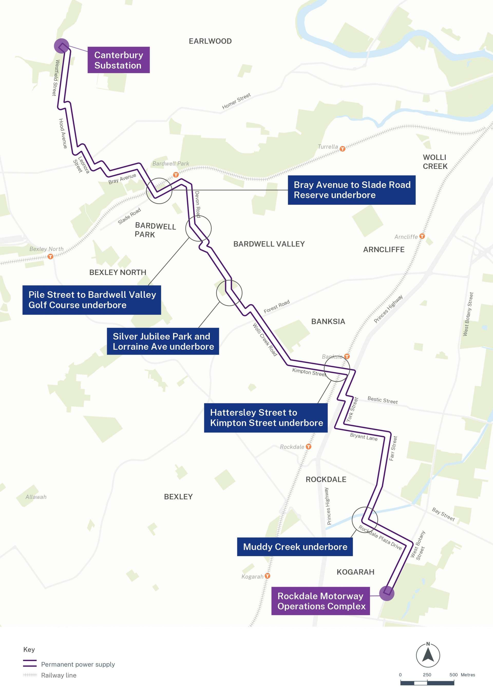
Powering the new M6 Stage 1 tunnels will be a seven-kilometre underground permanent power supply (PPS), linking the Canterbury substation, which is located in Hansen Avenue, Earlwood to the new Motorway Operations Complex (MOC) at West Botany Street, Rockdale. Work commenced in early May 2023 and will continue until the end of 2024.
A fact sheet with further details can be found here.
The latest notifications for works can be found here.
Explore the interactive map here.
Next steps
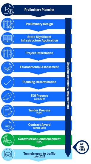
The M6 Stage 1 project milestones are outlined in our timeline below:
