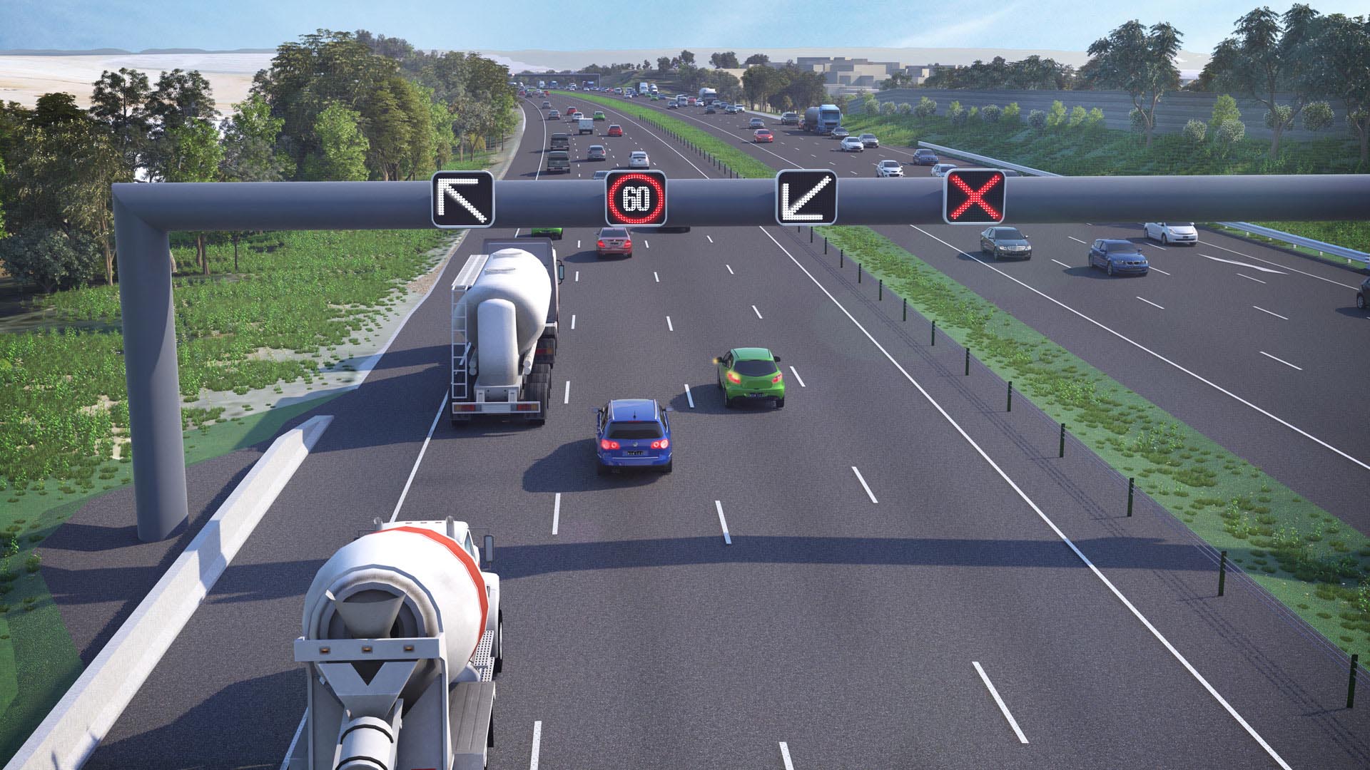
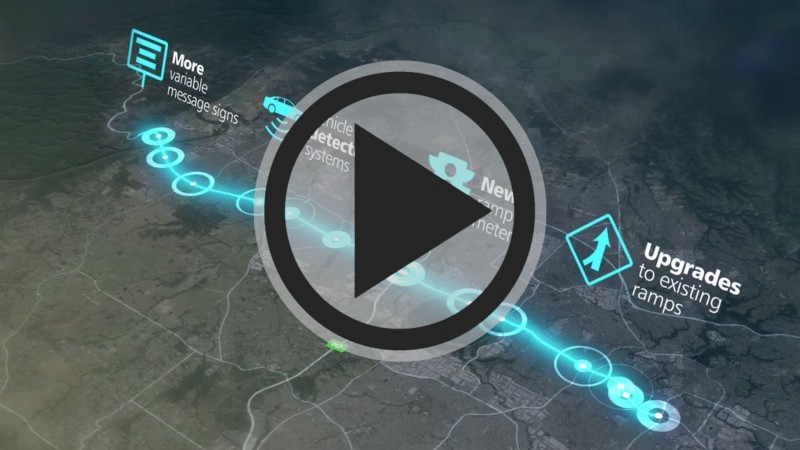
Latest videos

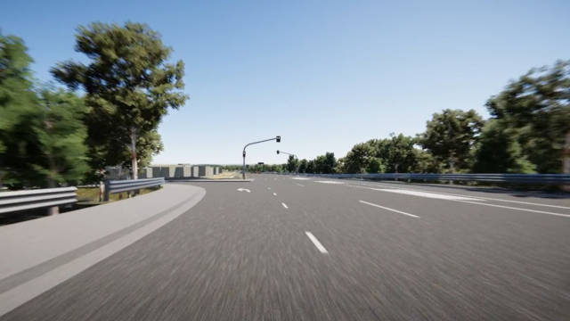
Driver views (Eastbound)

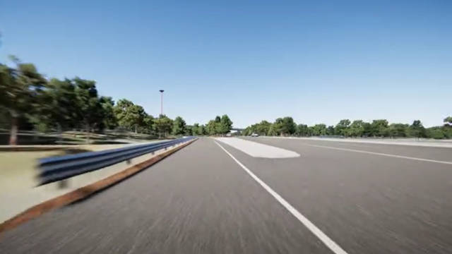
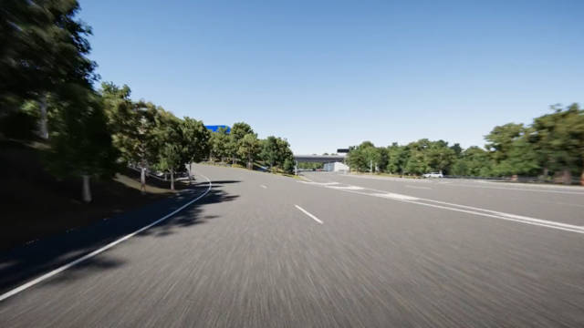


Driverviews (Westbound)


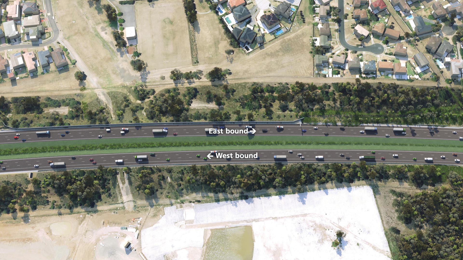
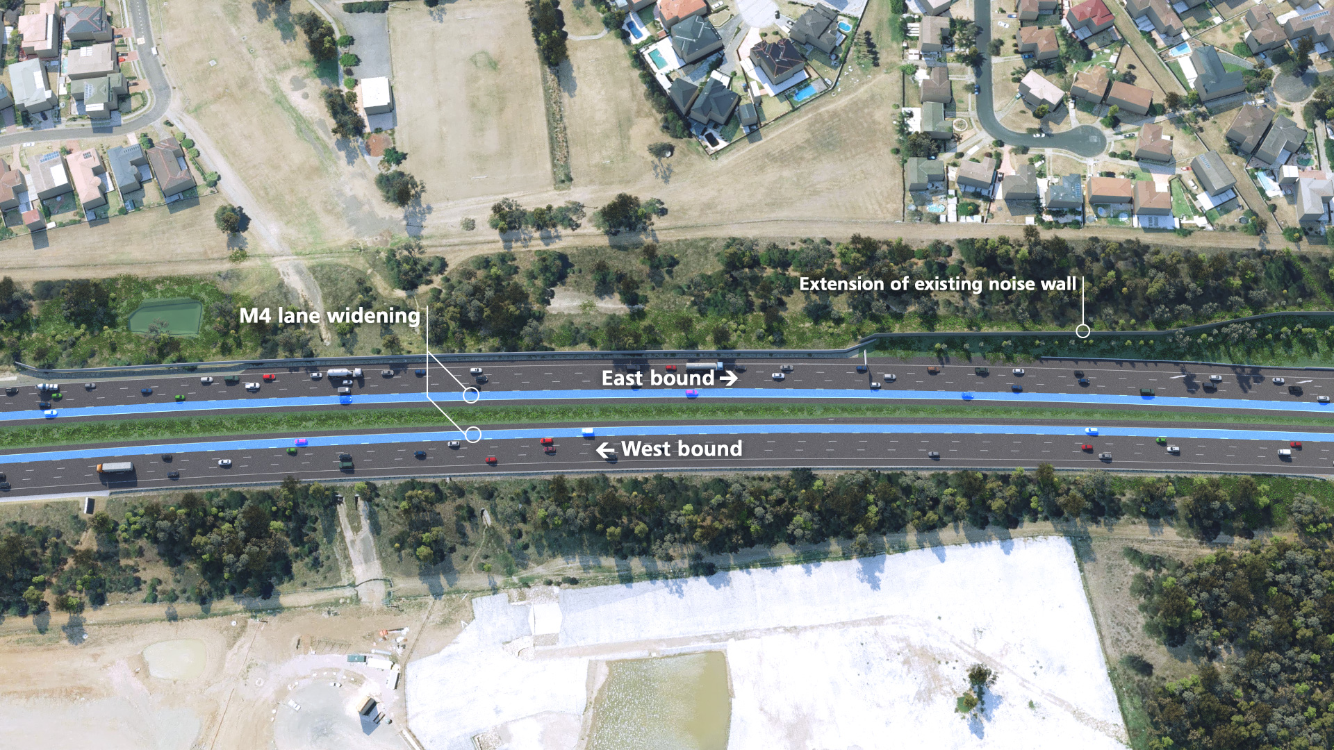
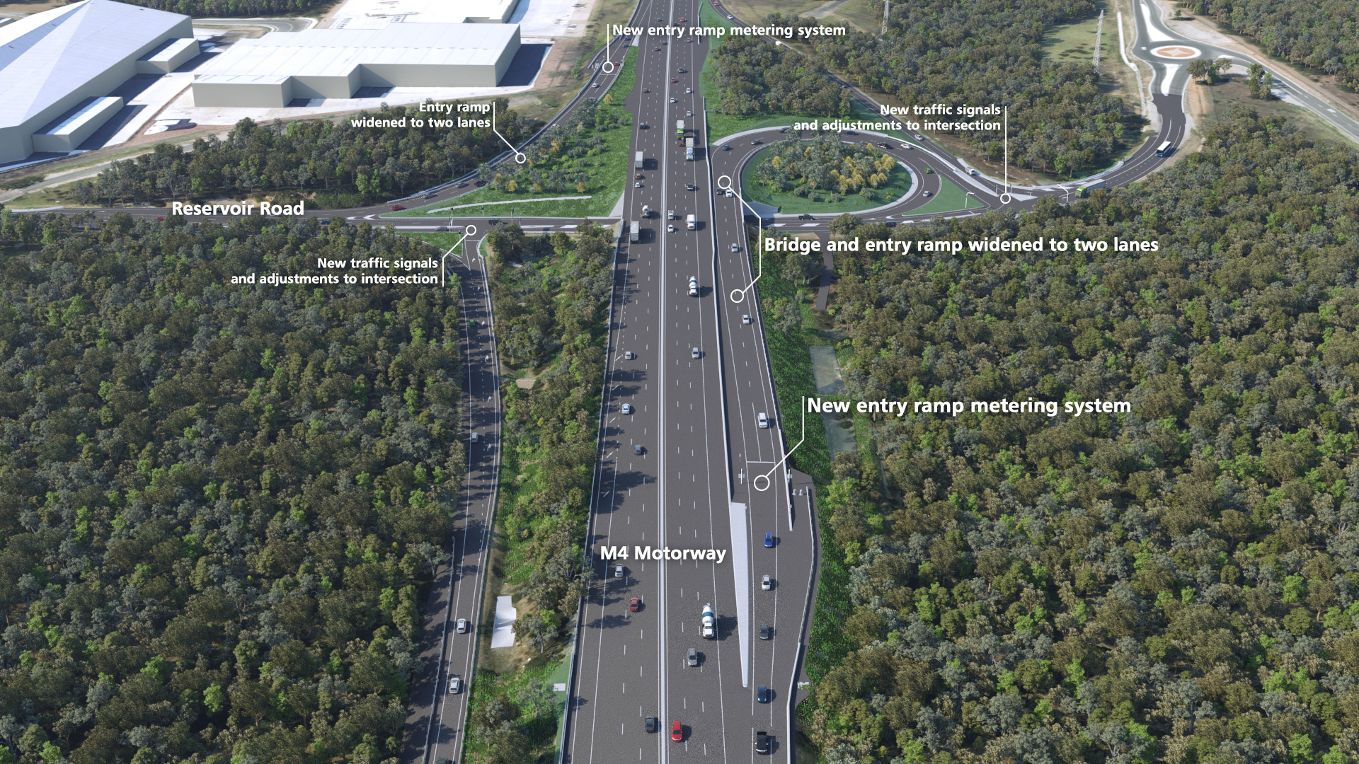
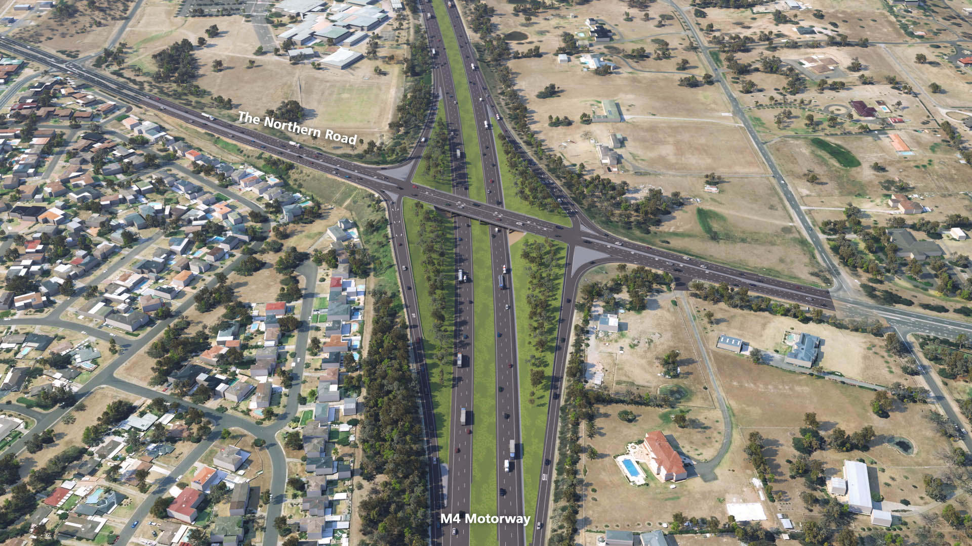
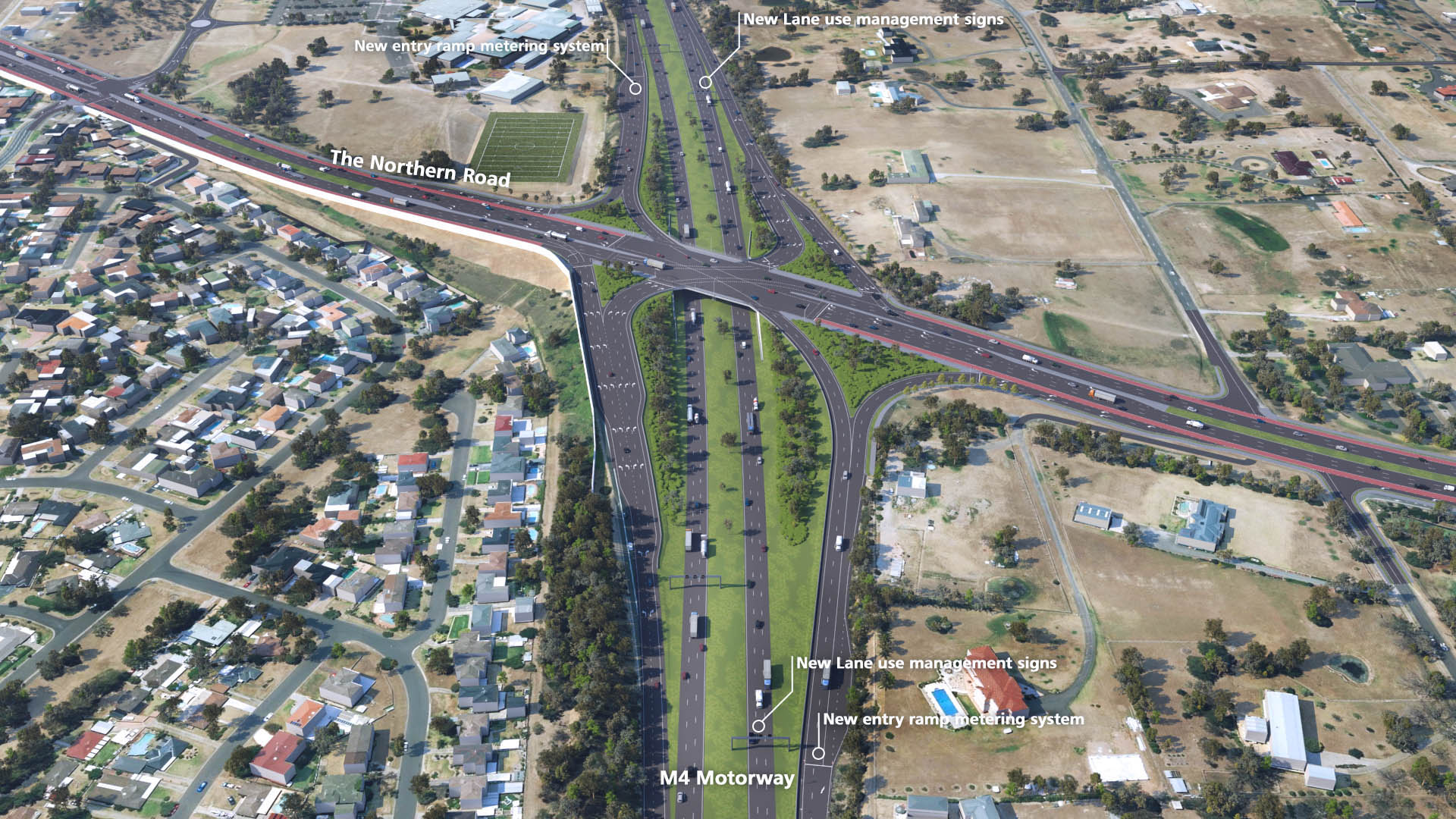
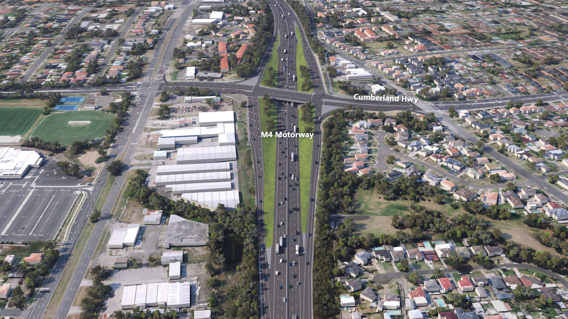
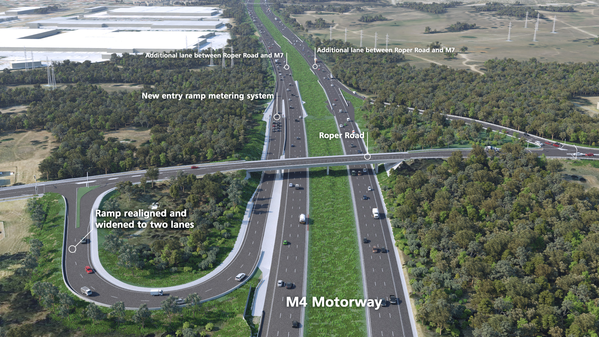
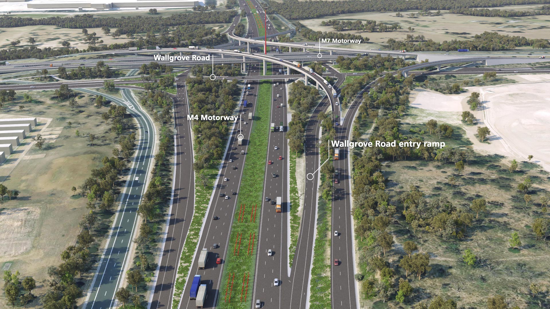
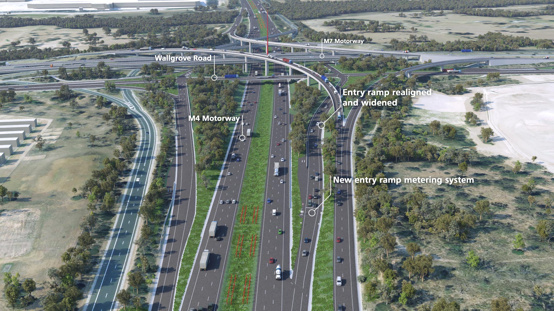
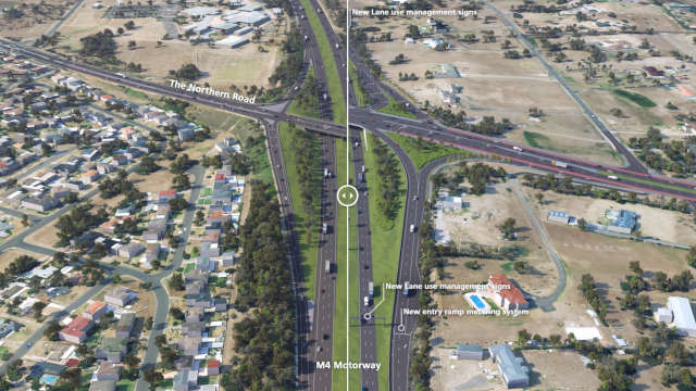
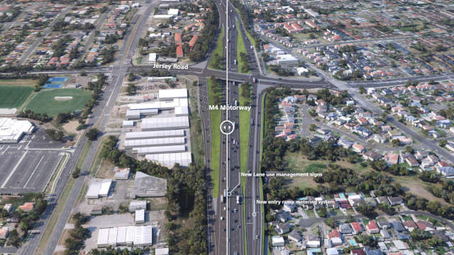
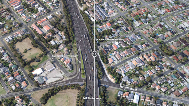
Before / After images


360° images


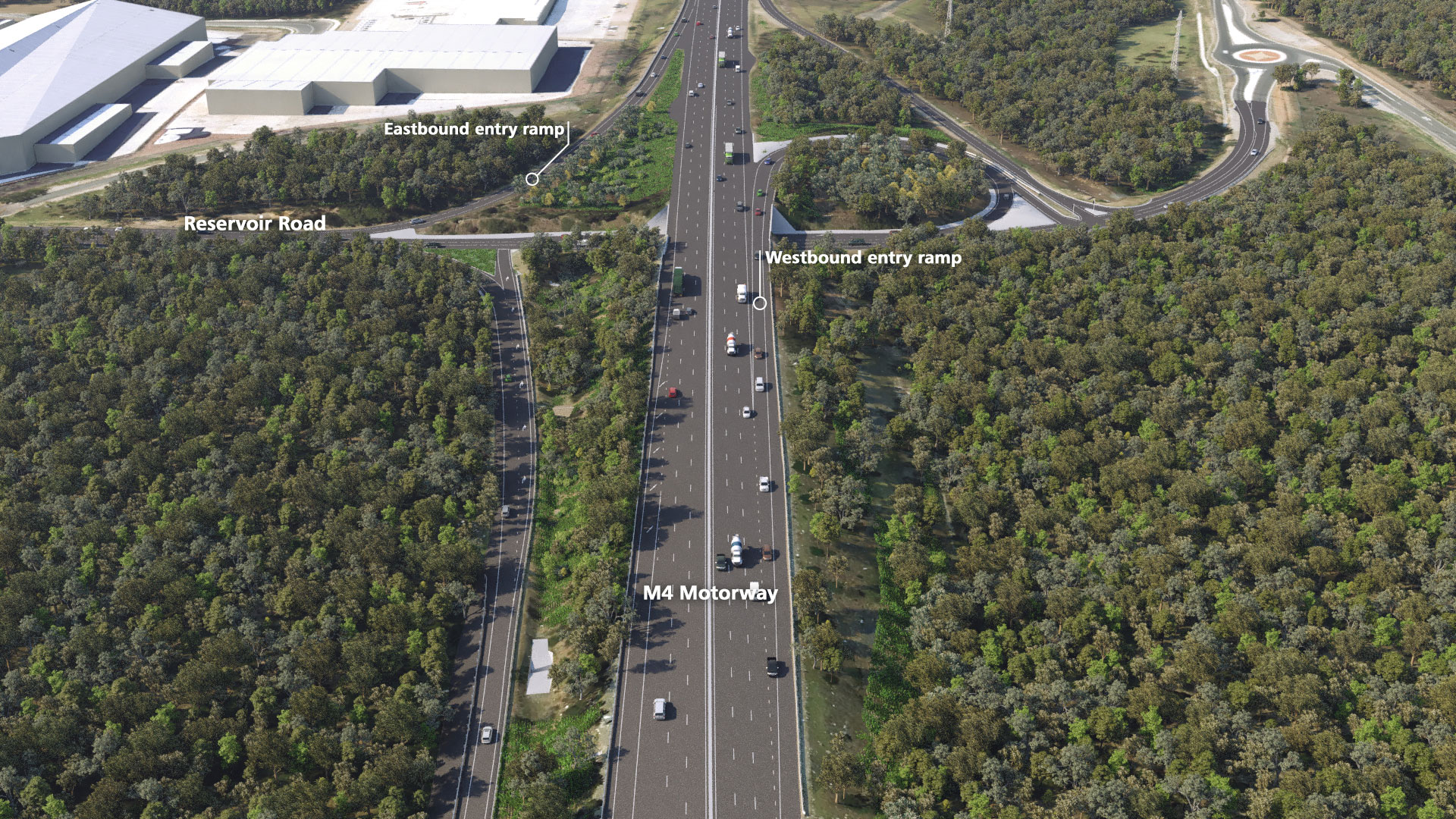
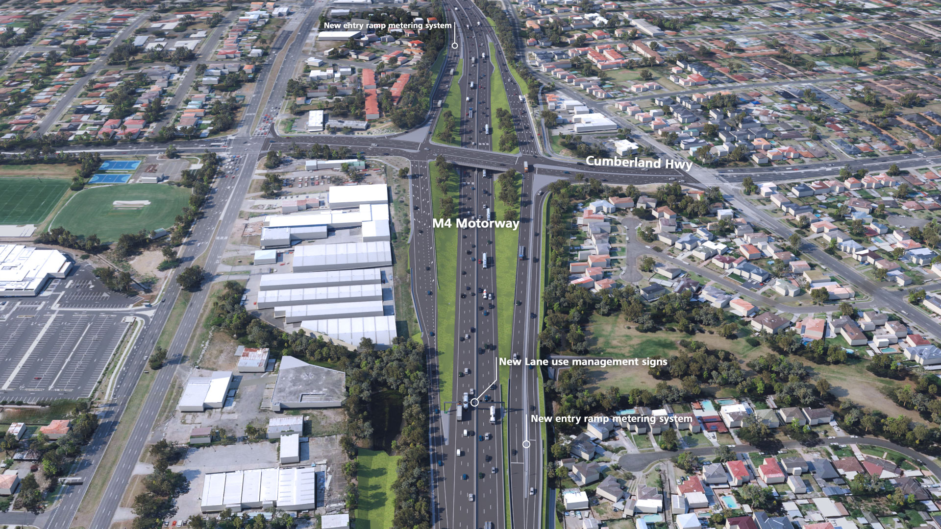
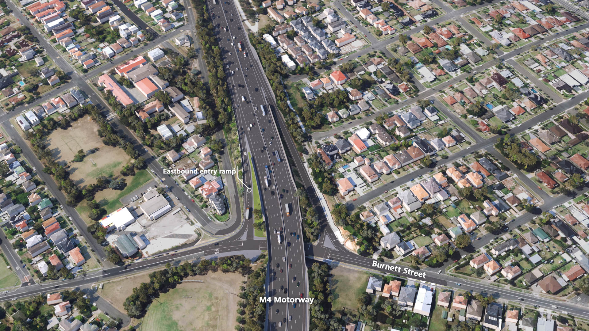
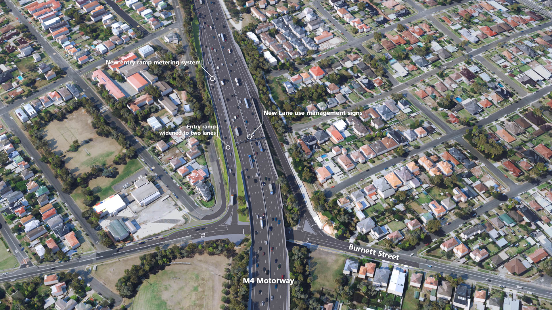
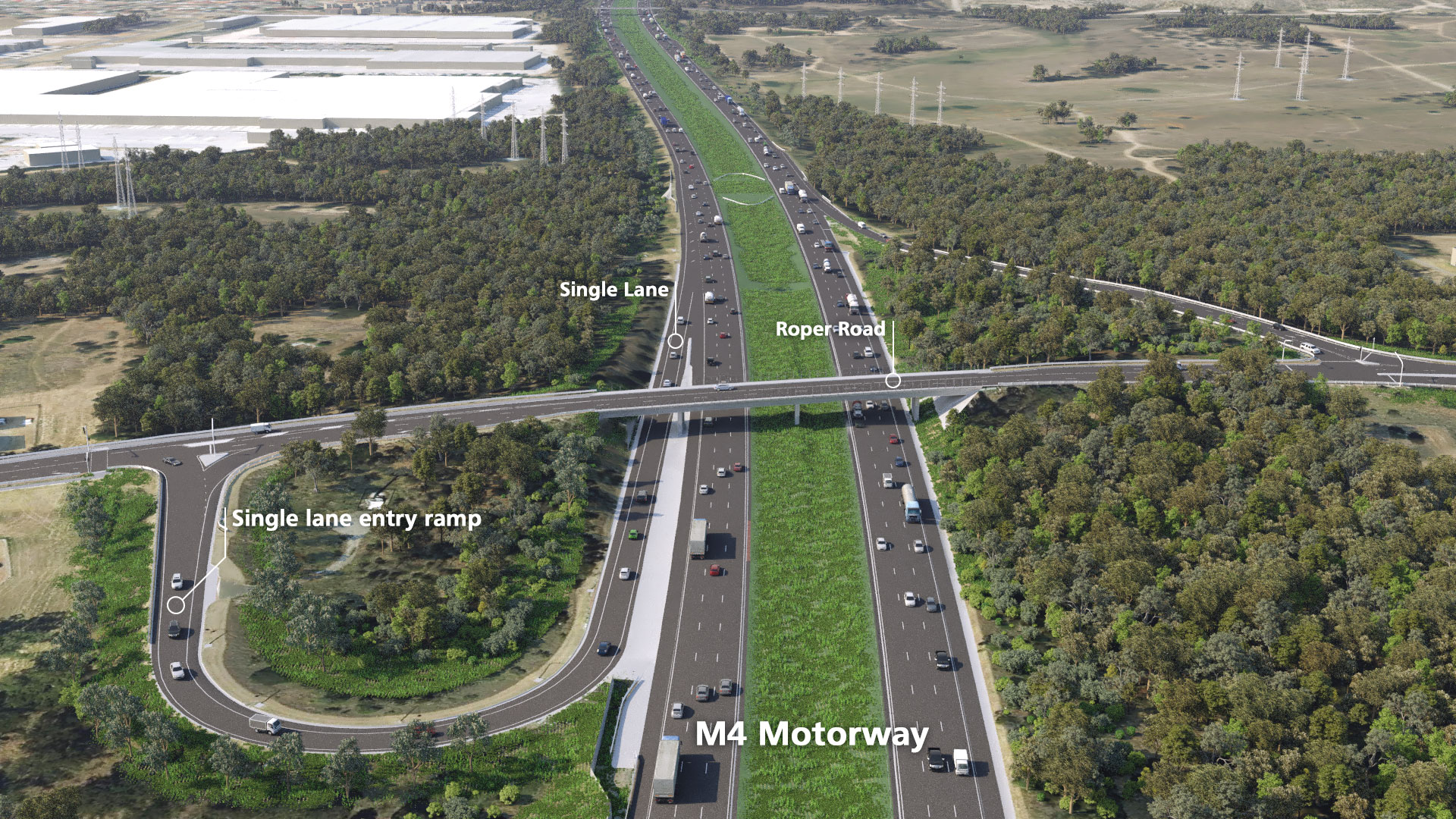
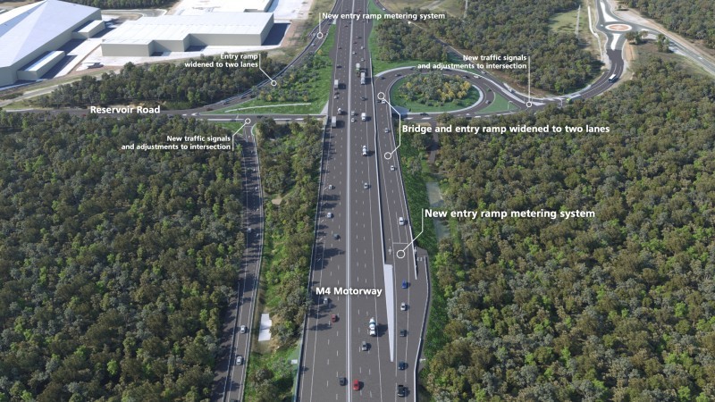
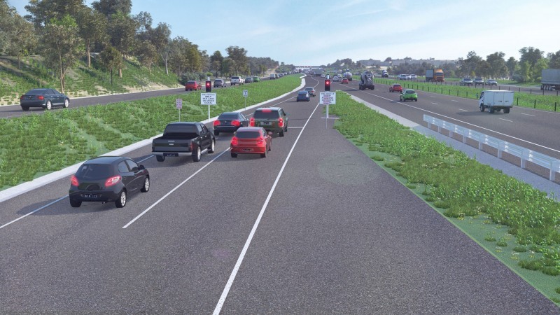
New feature images
Documents
Project documents, FAQs and quick reference materials are available here - https://www.rms.nsw.gov.au/projects/m4/project-documents.html