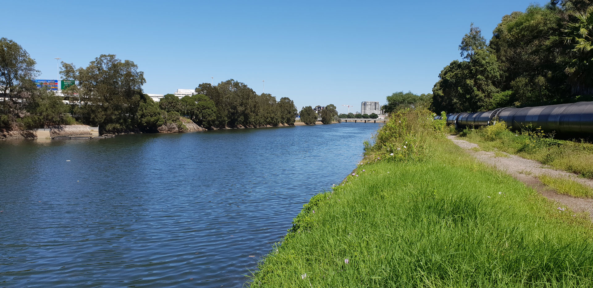
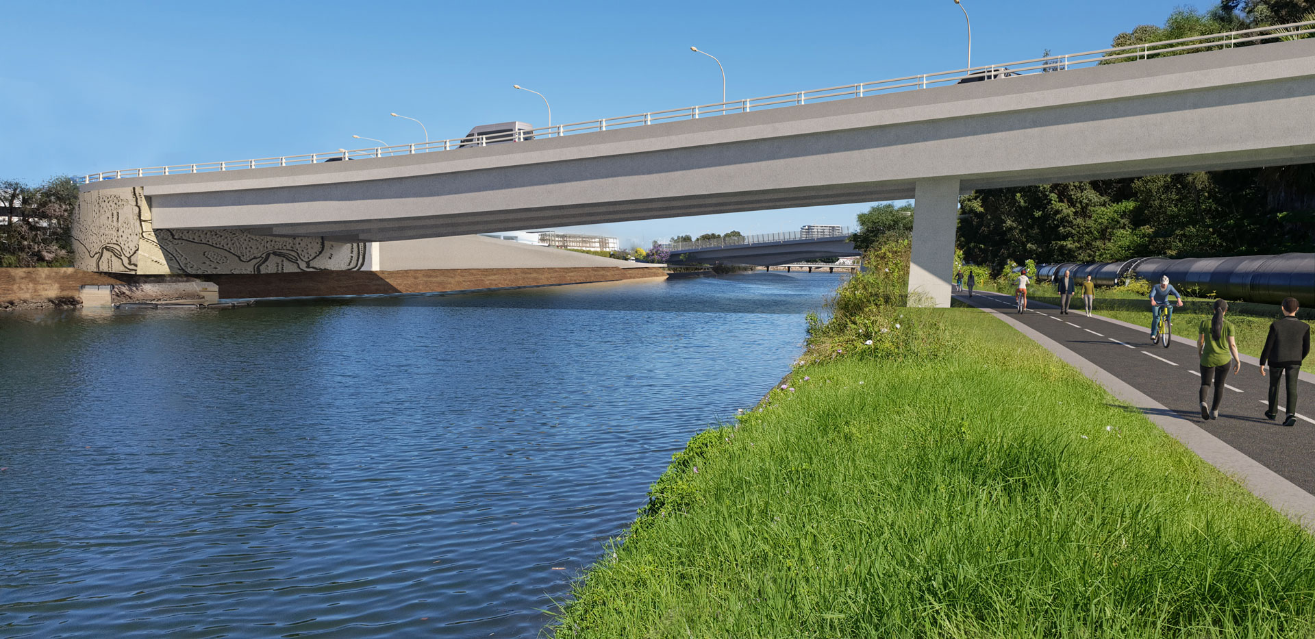
Alexandra Canal Cycleway
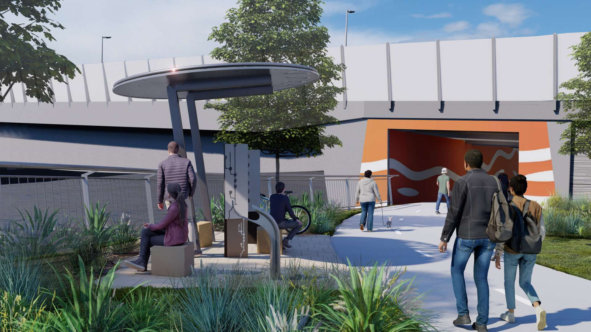
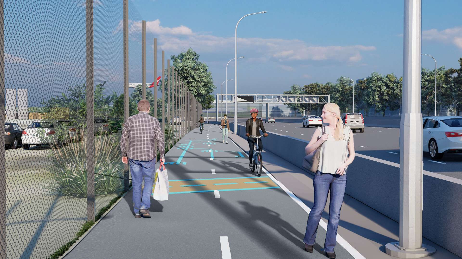
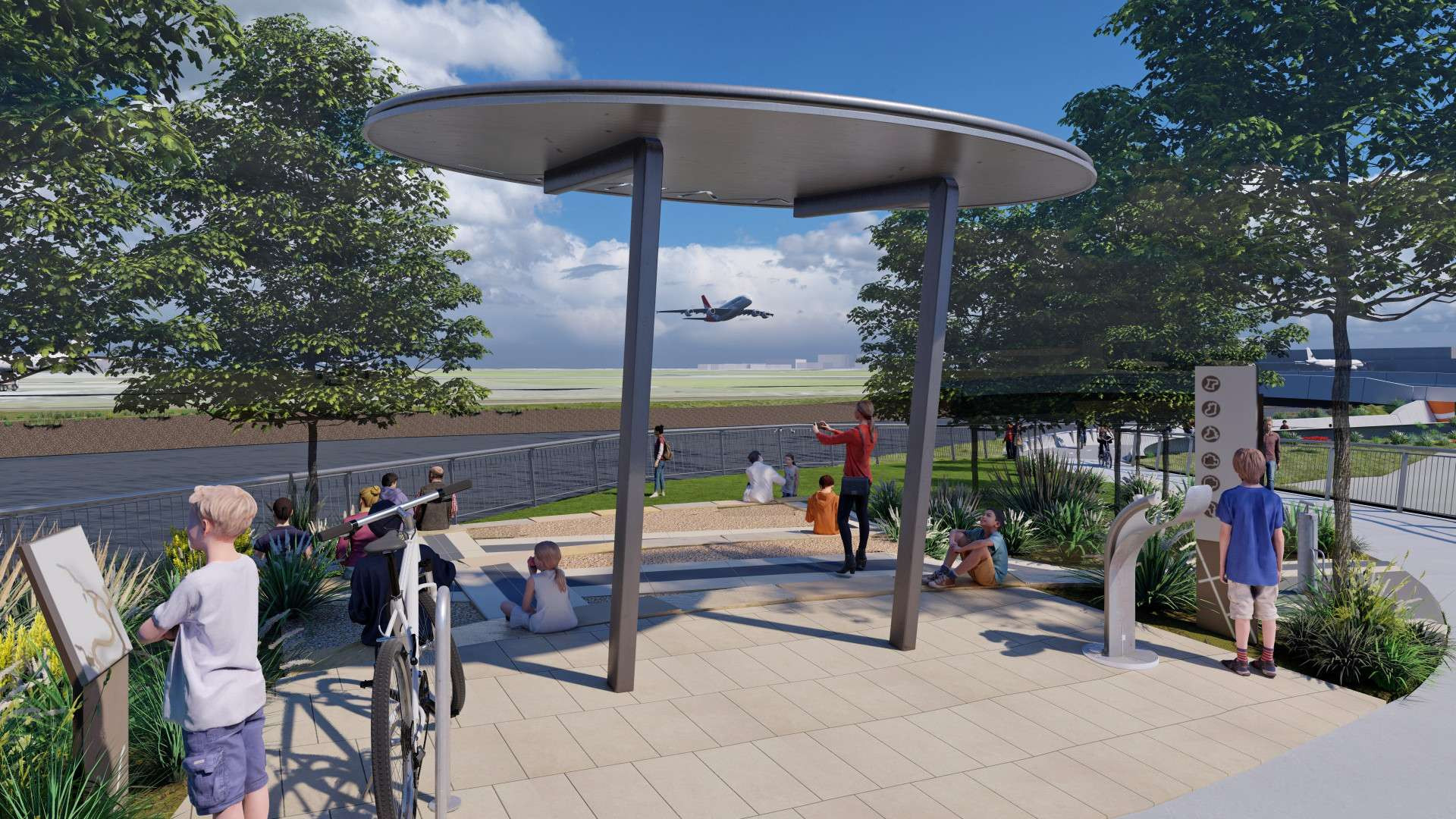
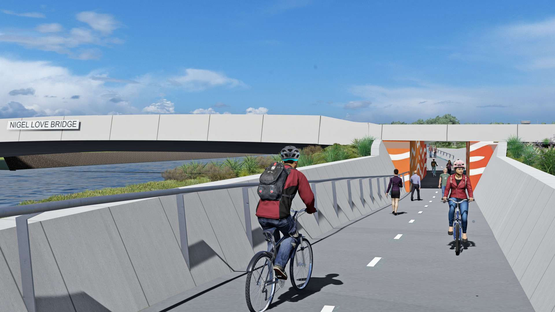
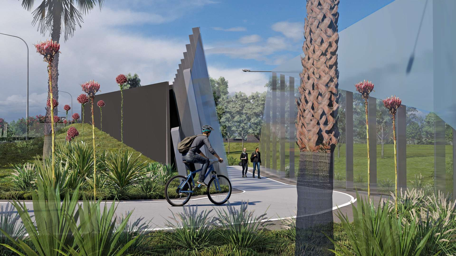
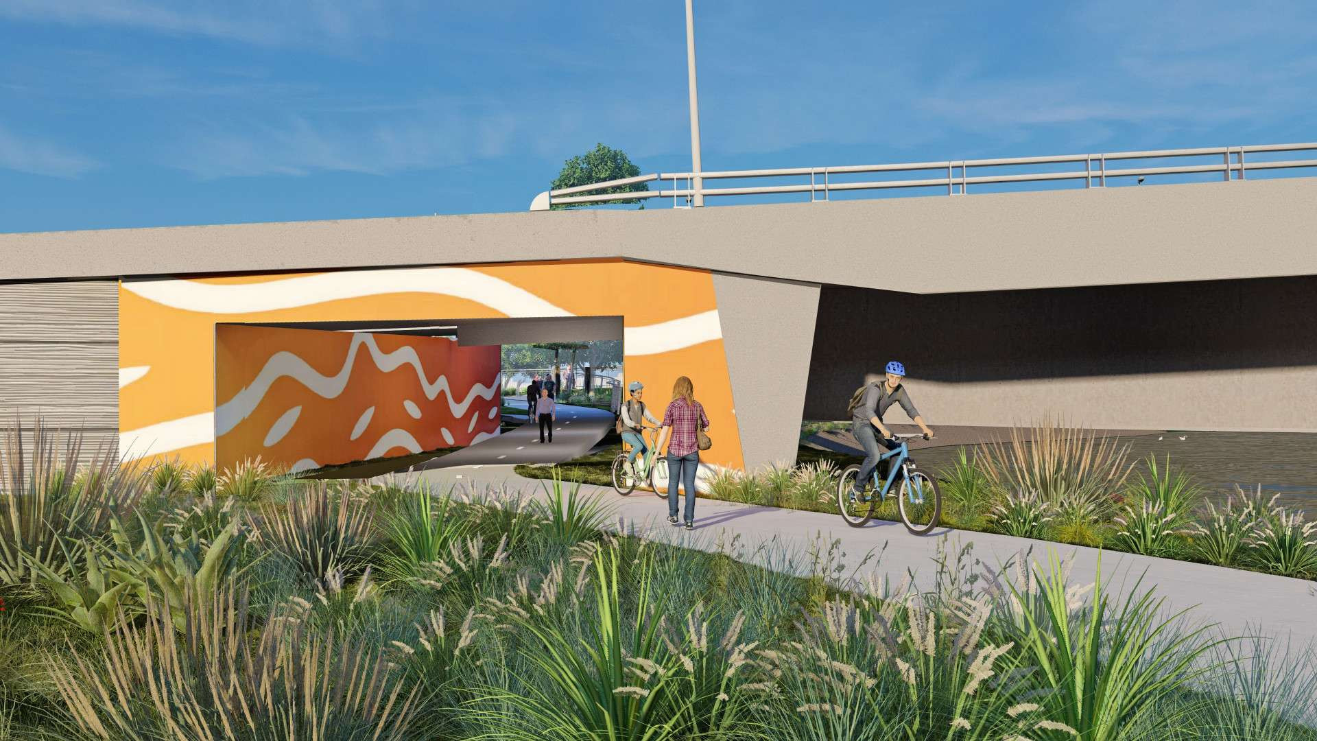
A new shared cycle and pedestrian pathway will be provided on the northern side of Alexandra canal. New bridges will be built over Alexandra Canal to carry traffic.
We understand that Tempe Wetlands and the Reserve are very important green spaces for the community. There will be no impact to Tempe Wetlands or the Reserve from Sydney Gateway.
The Sydney Gateway road will pass through Tempe Lands. The road has been designed to be as high as possible. This will reduce the amount of waste material excavated from the former landfill site and maximise open space available after construction.
When excavating material from the former landfill we will minimise our impacts on the community. Any contaminated material disturbed during excavation will be managed in accordance with the EPA’s Environment Guidelines: Solid waste landfills 2016.
The end of the road is now a cul-de-sac turning circle.
We will be carrying out contamination testing and Geotech investigations over the coming weeks to help inform our final design.


A new shared cycle and pedestrian pathway will be provided on the northern side of Alexandra canal. New bridges will be built over Alexandra Canal to carry traffic.
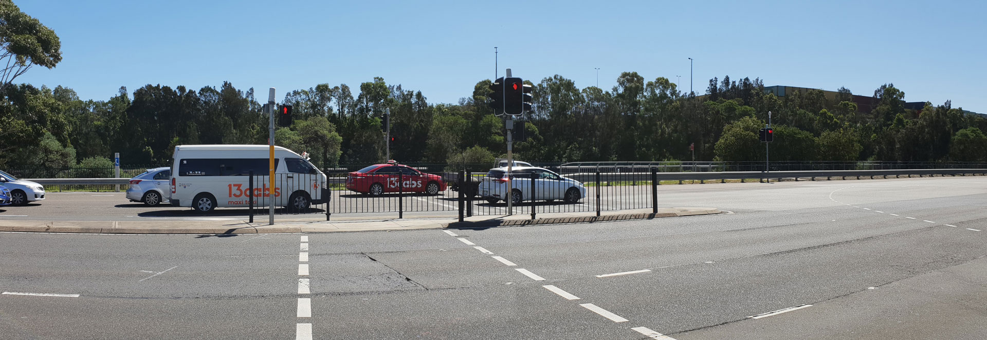
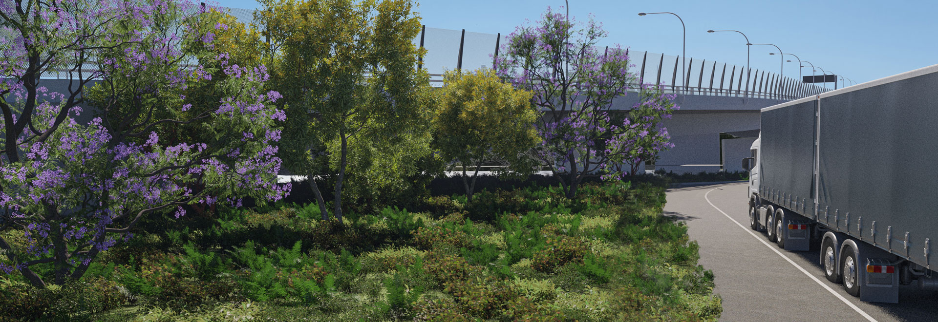
New Link Road will provide airport freight access and connections to Link Road following the closure of Airport Drive.
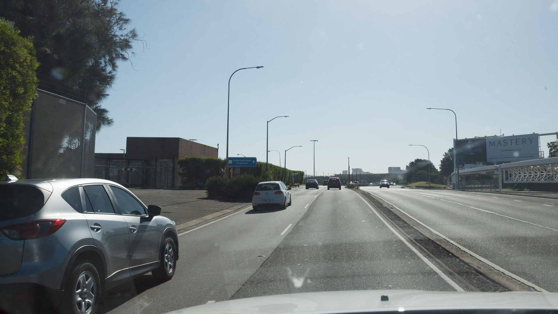
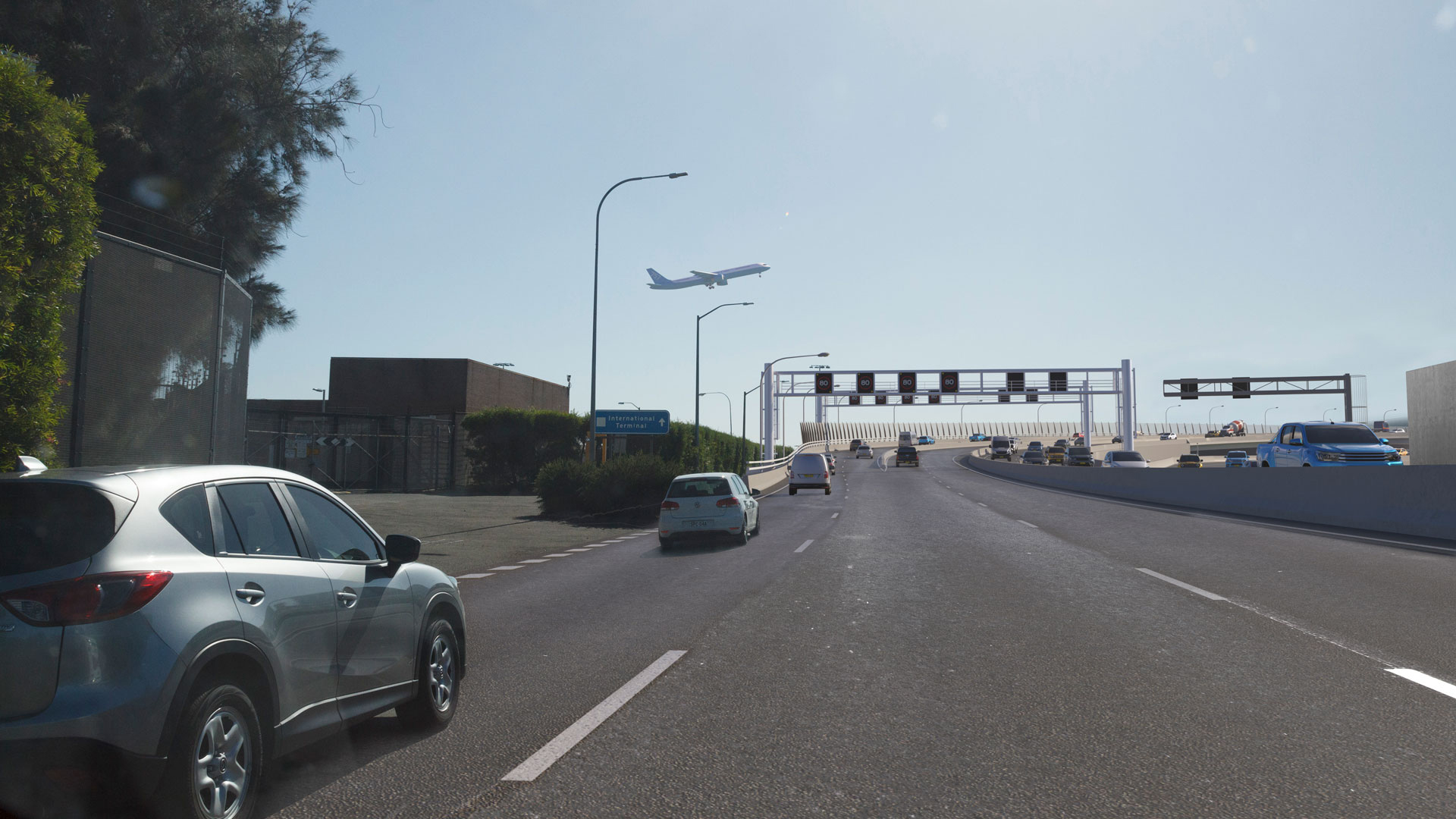
Qantas Drive will be widened to three lanes in each direction to ease congestion and improve traffic flow.
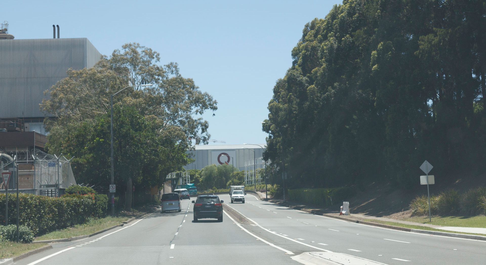
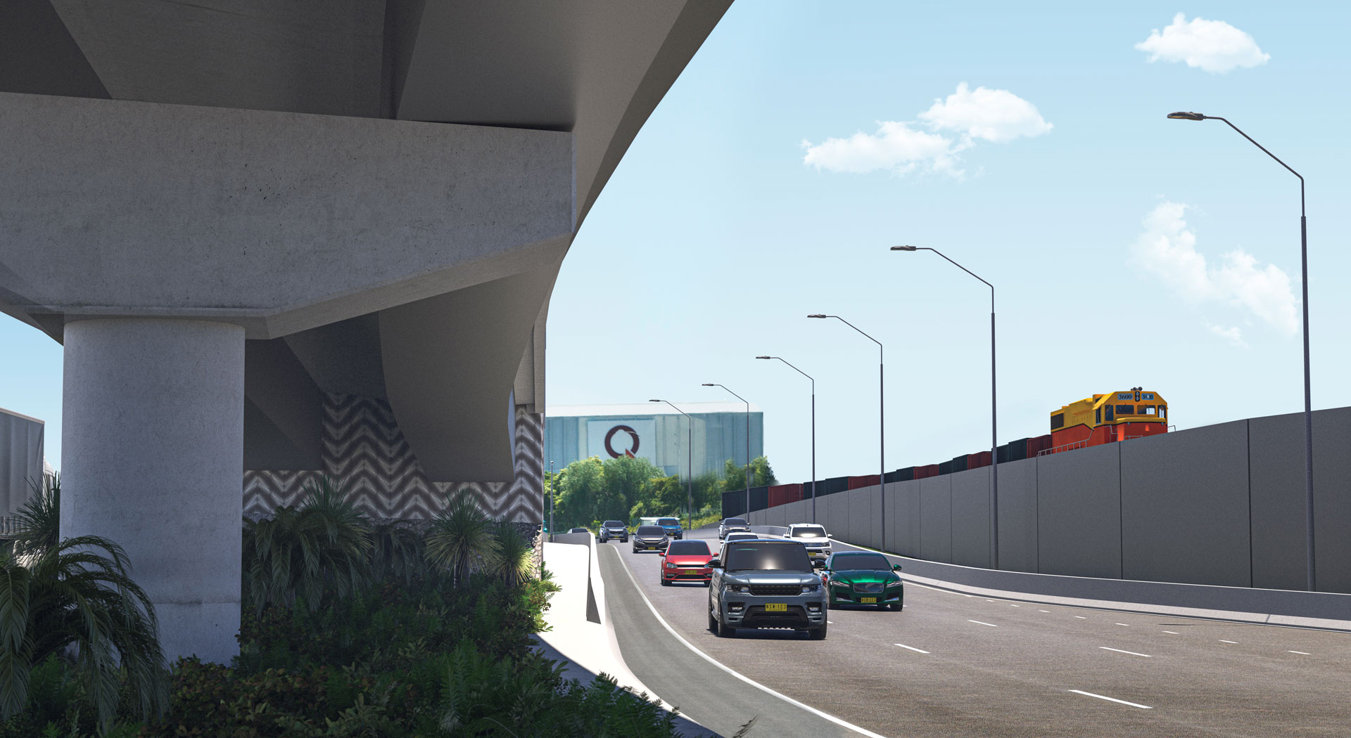
Qantas Drive will be widened to three lanes in each direction.
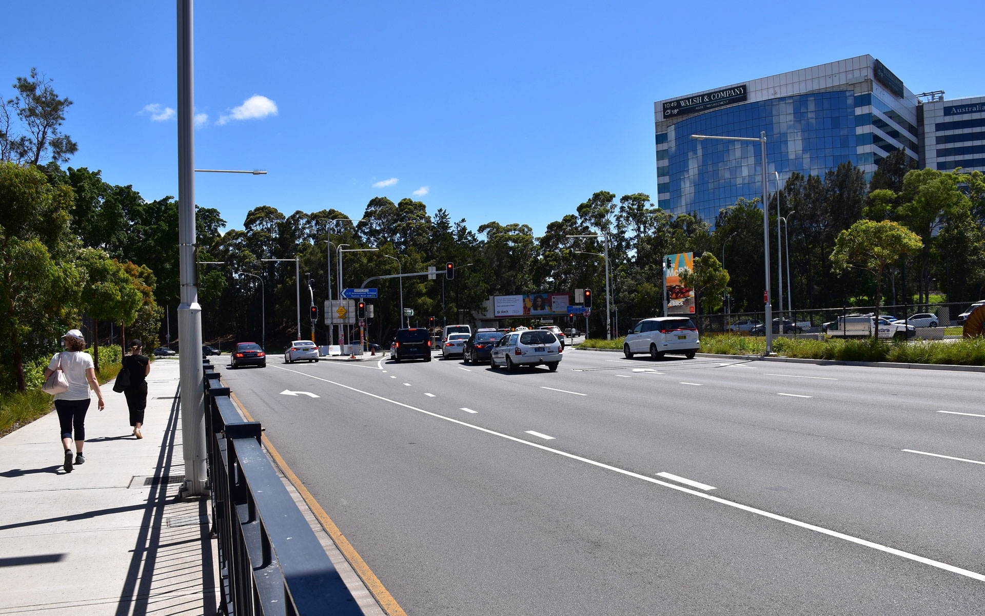
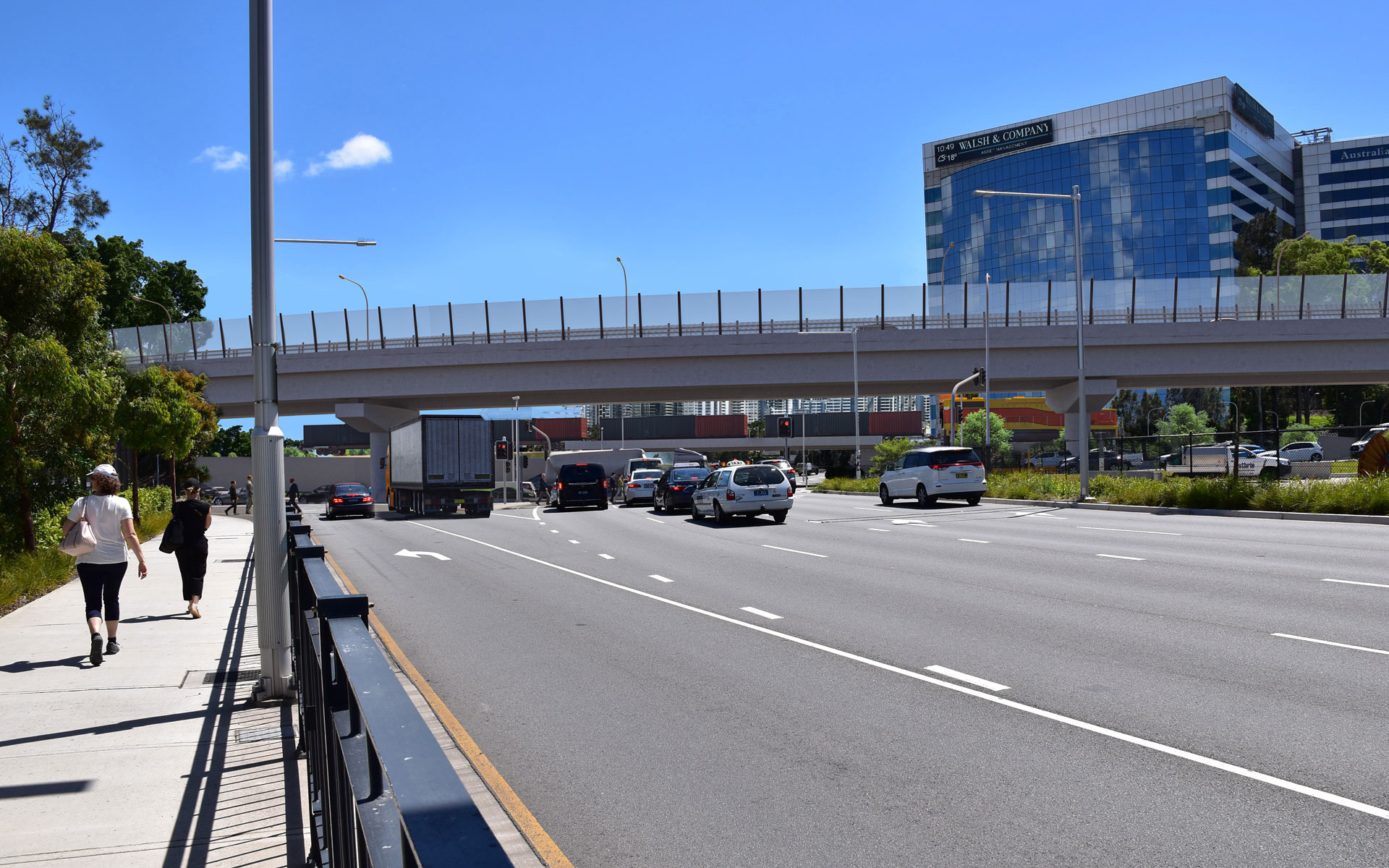
Flyover along Qantas Drive over Seventh Street/Robey Street intersection.
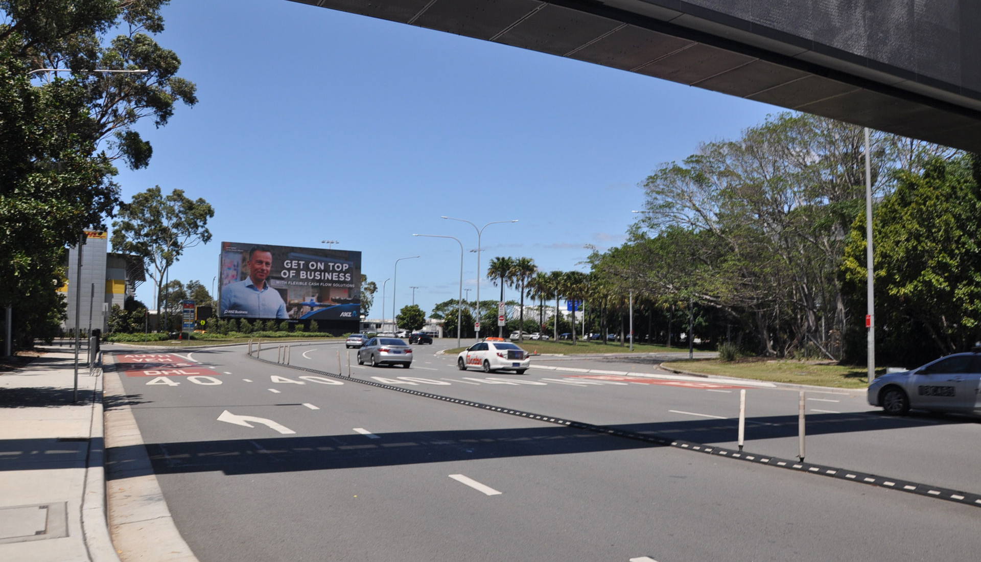
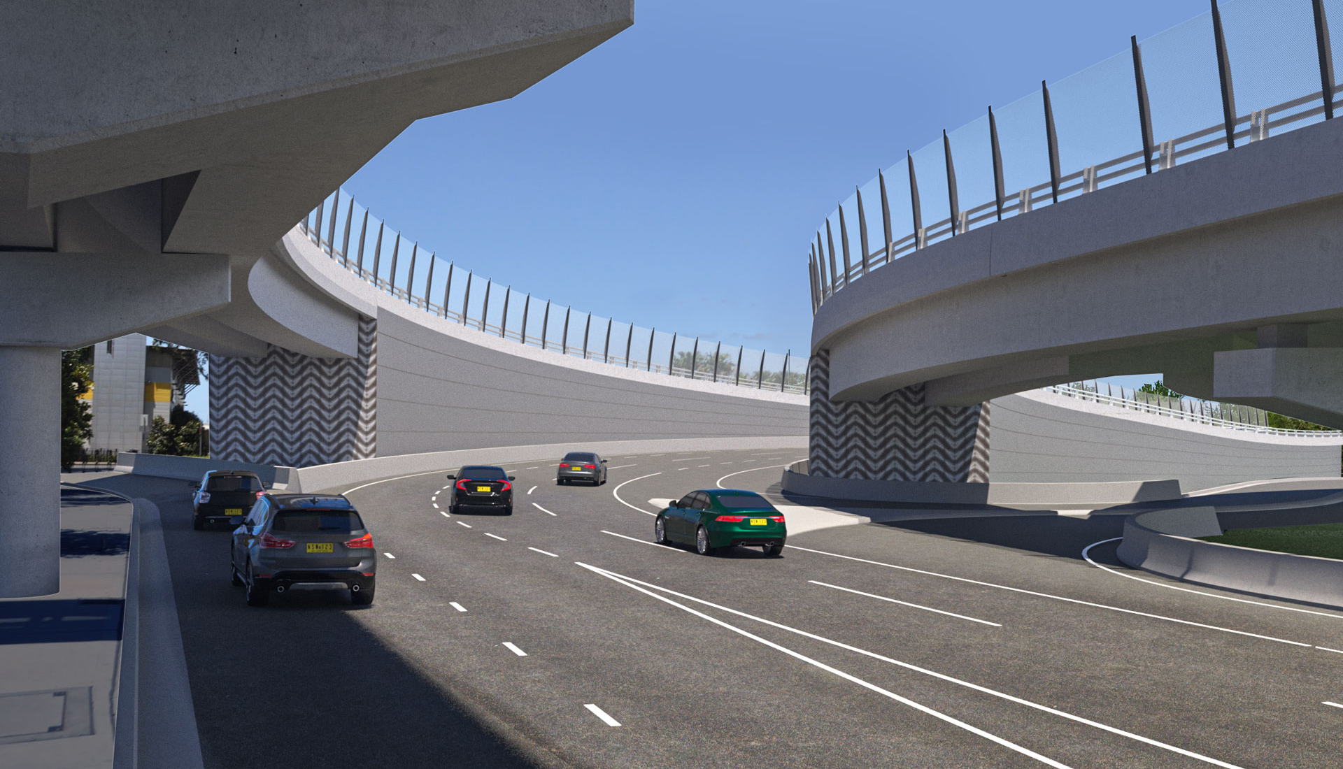
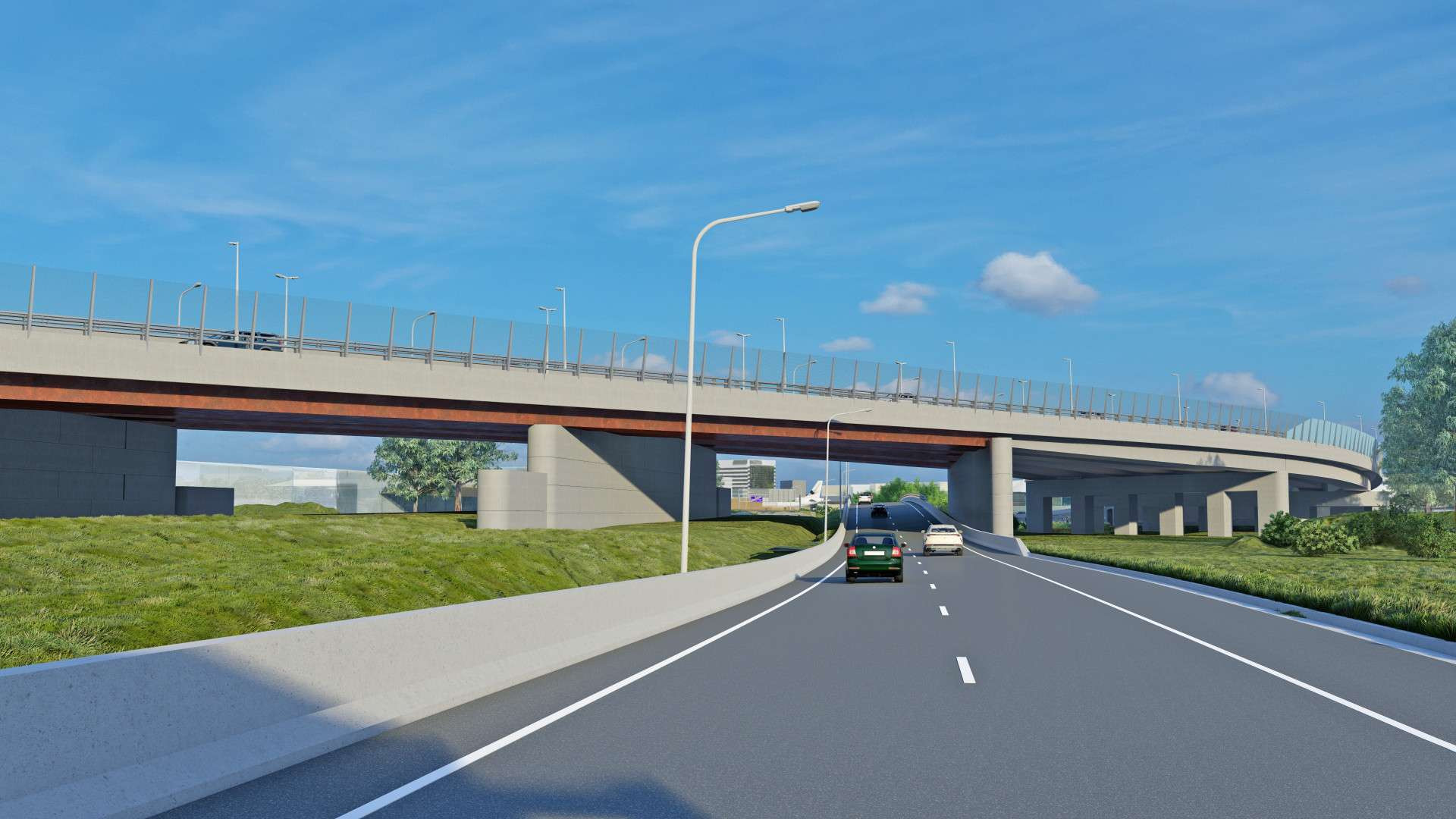
A new flyover will connect the Domestic terminals with the upgraded Qantas Drive.
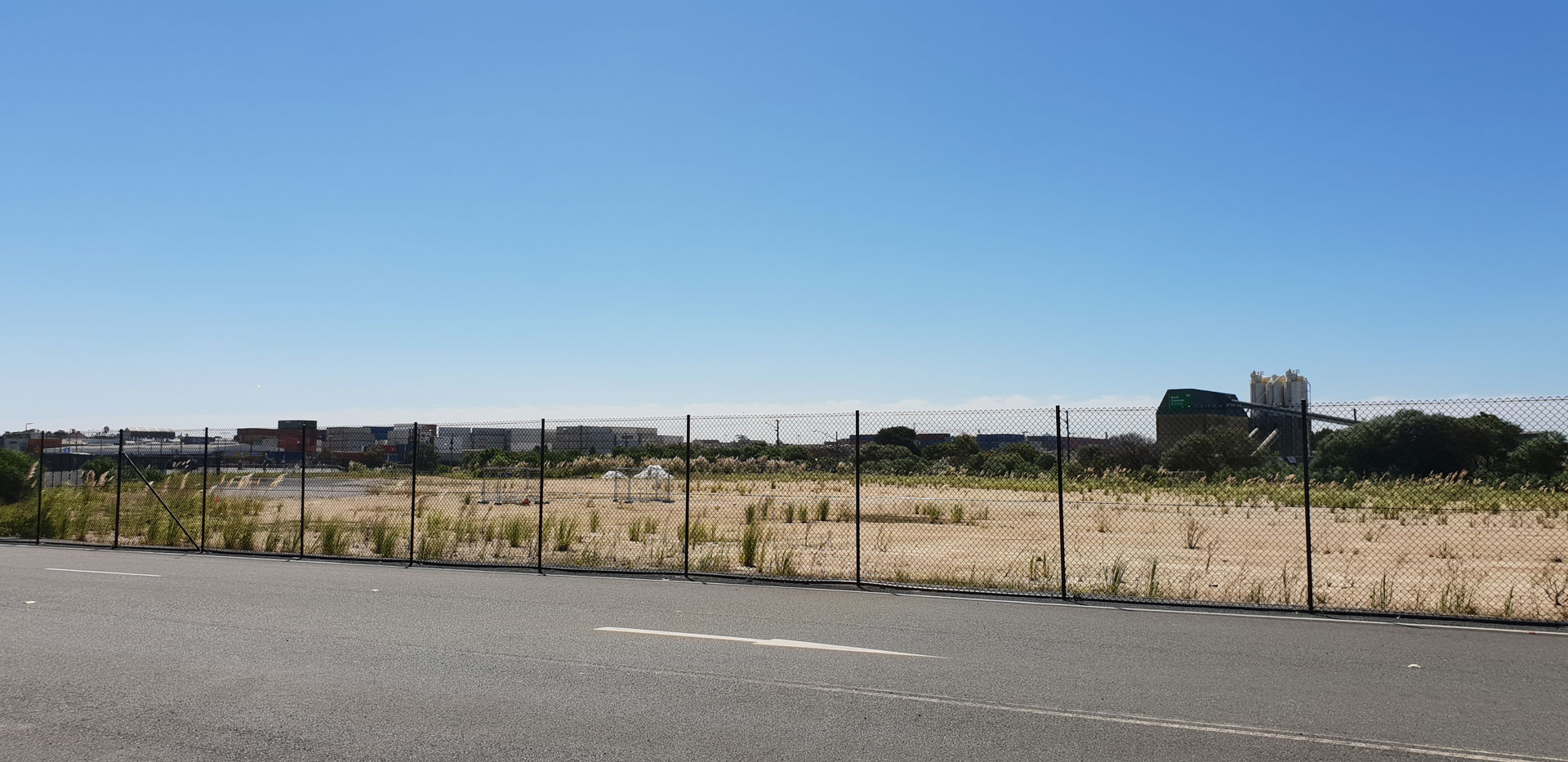
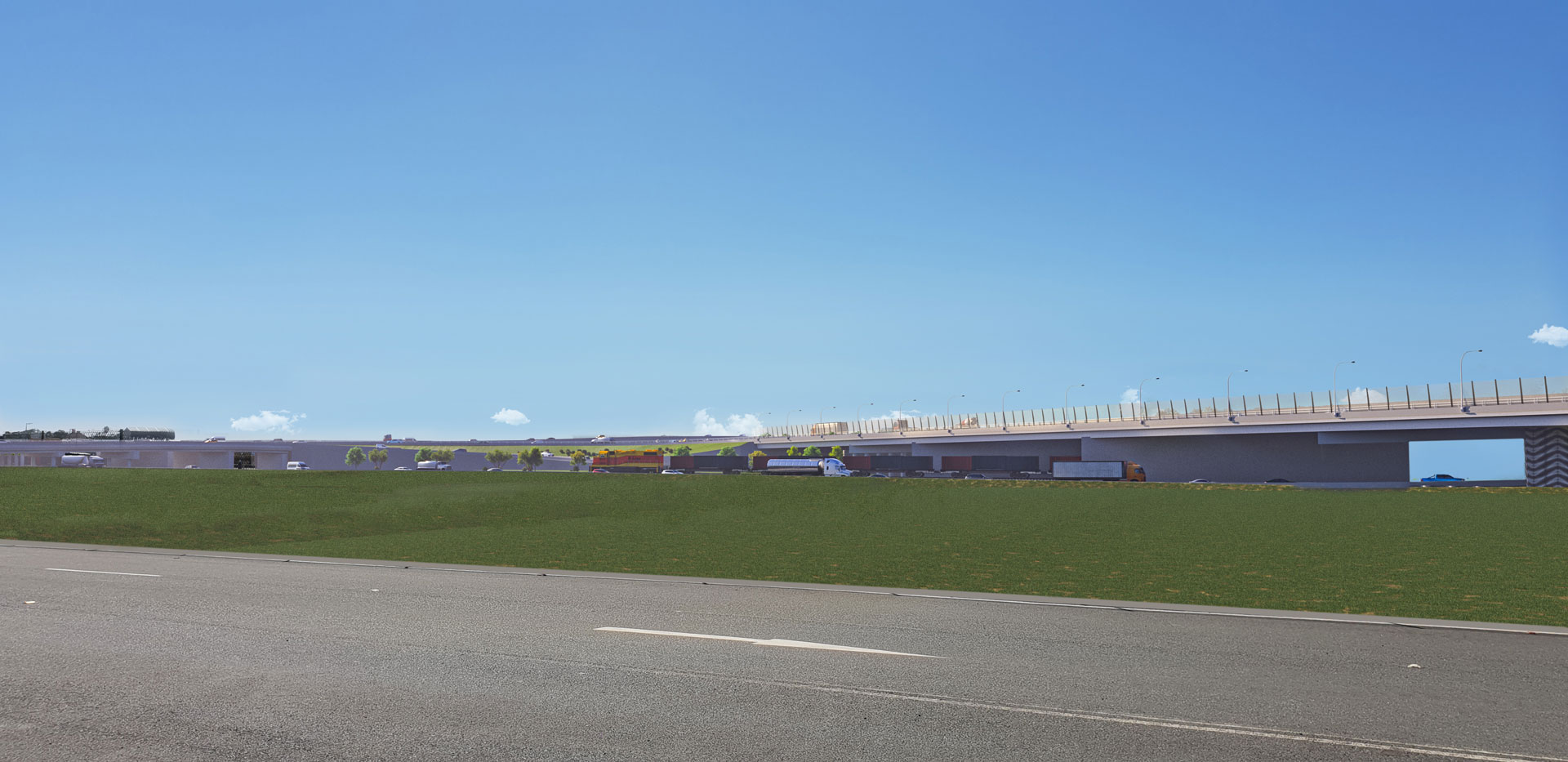
Sydney Airport’s North Precinct Road, north of the Nigel Love bridge. Sydney Airport’s northern lands will provide space for major new road connections to the airport and around the precinct.
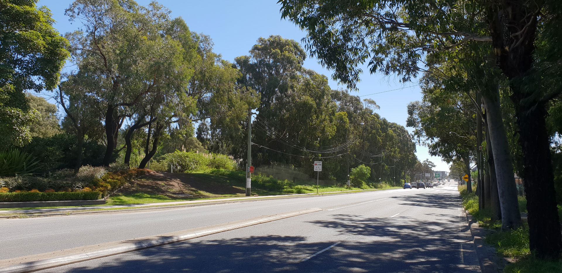
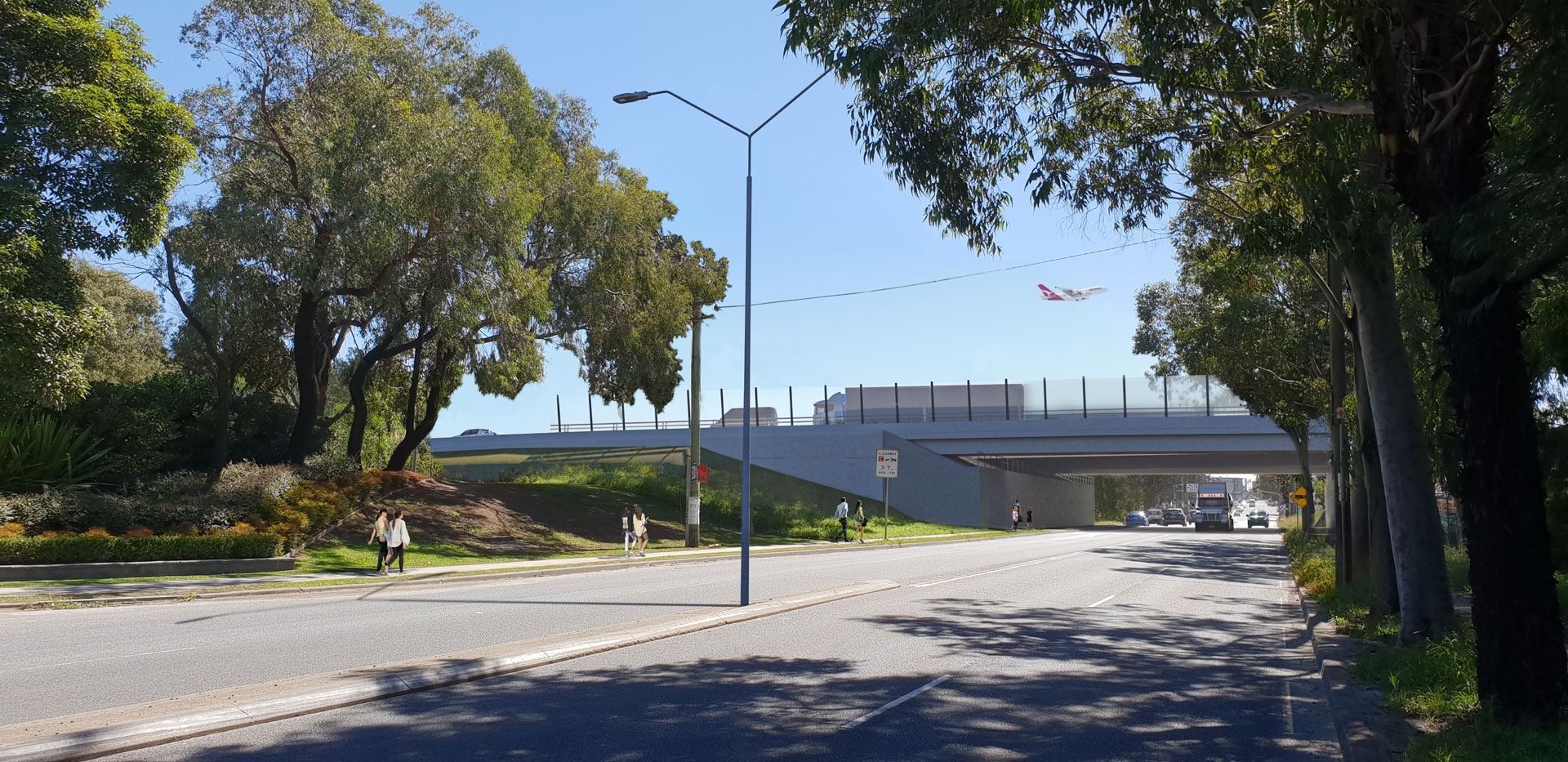
Sydney Gateway will take traffic from St Peters Interchange across Canal Road towards Sydney Airport’s Domestic and International terminals and towards Port Botany.
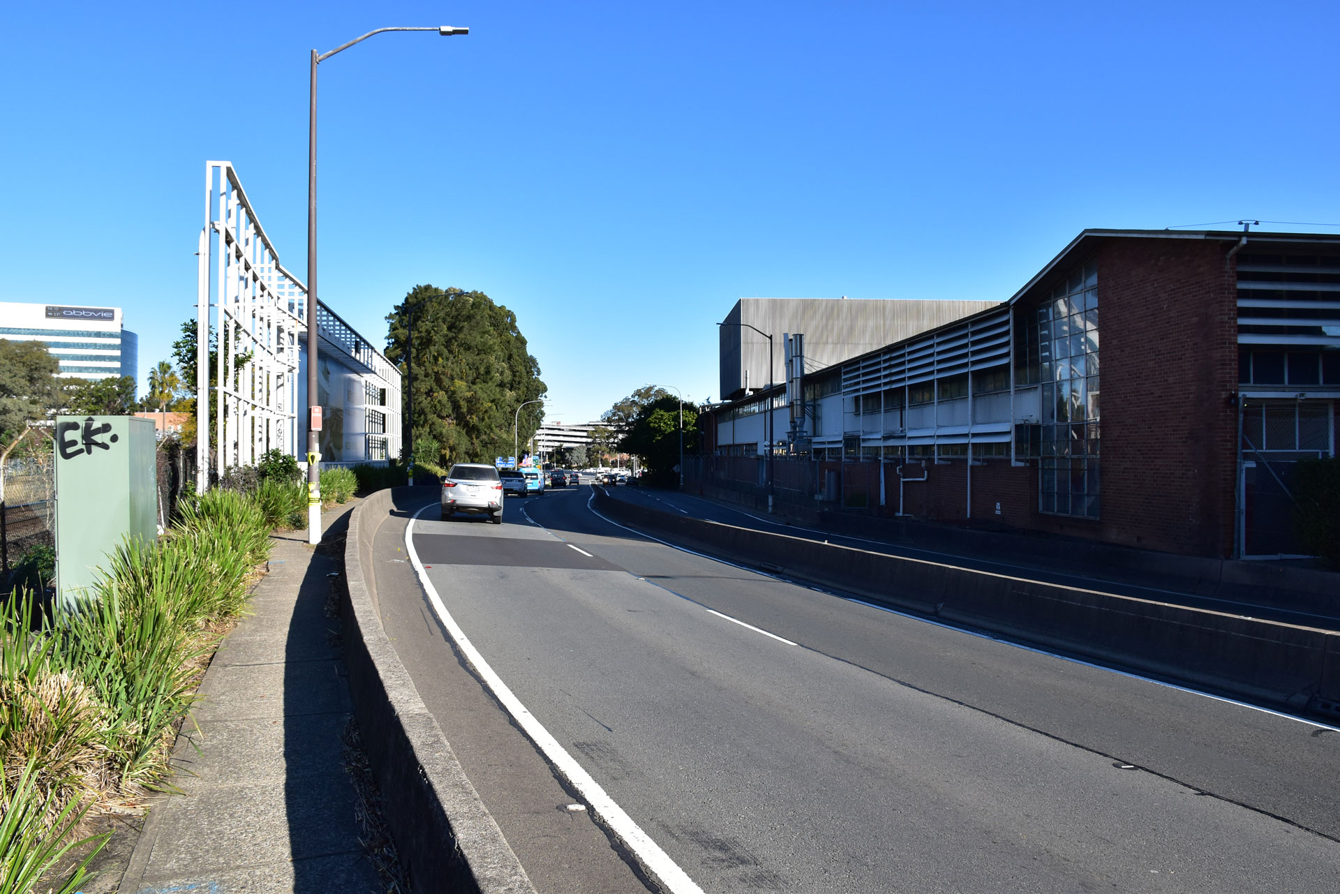
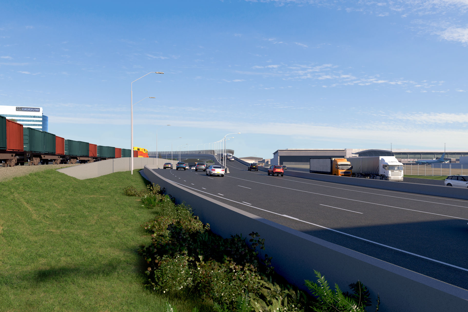
Qantas Drive will be widened to three lanes in each direction to ease congestion and improve traffic flow.

To ease congestion and provide you with a reliable journey to Sydney Airport, we will be removing the traffic lights at the intersection of Lancastrian Road and Qantas Drive and will be removing right in and right out turning movements.
We assessed how exhaust emissions may affect air quality once we are open to traffic.
This diagram shows predicted changes in particle levels (as PM10*) in the air once Sydney Gateway is open to traffic. This diagram is representative of other air pollutants as well.
The green area indicates where air quality would improve due to less traffic on the roads and less exhaust emissions.
Further information about air quality levels is available in Sydney Gateway’s combined EIS and draft MDP, Chapter 12: Air quality.
Visit the Roads and Maritime global air quality portal for more information about air quality in Sydney, Australia and the rest of the world.
* PM10 are very small particles with diameters of 10 micrometers and smaller. They remain airborne for a very long time and can cause irritation when they are inhaled. Common sources of PM10 particles include industrial emissions, vehicle exhaust, smoke from fires, and dust from construction activities.We assessed how exhaust emissions may affect air quality once we are open to traffic.
This diagram shows predicted changes in particle levels (as PM10*) in the air once Sydney Gateway is open to traffic. This diagram is representative of other air pollutants as well. The purple area indicates where air quality would decline due to the exhaust from additional traffic. The decline in air quality occurs near the new roads and existing roads which will experience increases in traffic due to the project.
In residential areas near the new roads, predicted changes in air quality due to the project are generally very small compared to existing levels.
Further information about air quality levels is available in Sydney Gateway’s combined EIS and draft MDP, Chapter 12: Air quality.
Visit the Roads and Maritime global air quality portal for more information about air quality in Sydney, Australia and the rest of the world.
* PM10 are very small particles with diameters of 10 micrometers and smaller. They remain airborne for a very long time and can cause irritation when they are inhaled. Common sources of PM10 particles include industrial emissions, vehicle exhaust, smoke from fires, and dust from construction activities.
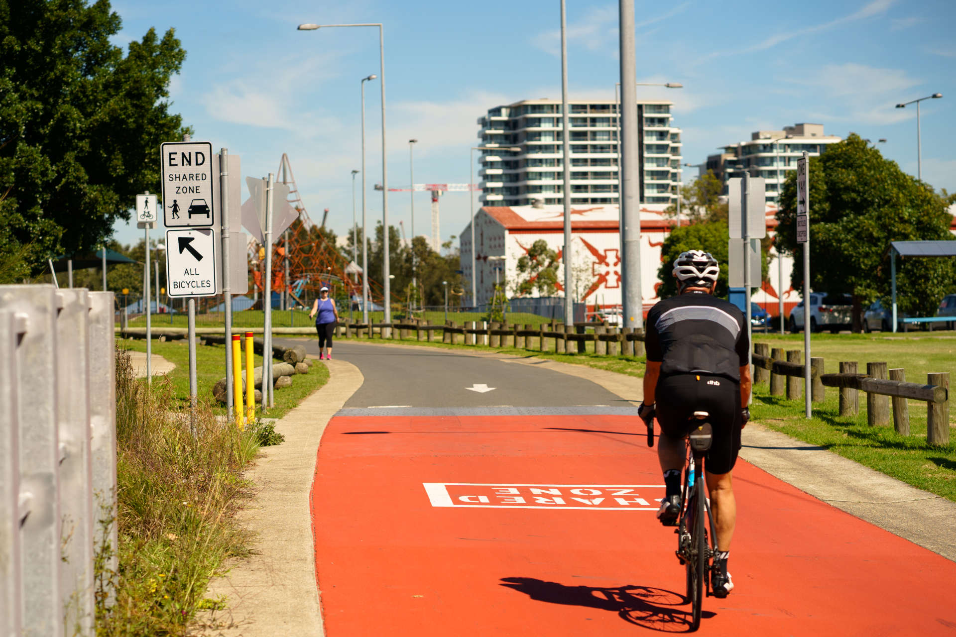
During the construction of Sydney Gateway, we will ensure shared cycle and pedestrian pathways are maintained between Alexandra Canal and Mascot and towards the Sydney CBD.
We have met with cyclists, walkers, community members and local councils in the past nine months to understand the needs of all users.
Your feedback has been invaluable. In response to your comments we have worked closely with Sydney Airport to develop a practical option for a permanent northern canal route. We welcome your feedback on this proposed route.
Alternative temporary routes will need to be established during construction to ensure the safety of pedestrians and cyclists.
Roads and Maritime has worked with Sydney Airport on a proposed route option for the permanent pedestrian and cycleway.
All the feedback and comments we have received so far have been instrumental in developing this proposed option. This route is subject to agreement with landowners.
We have also considered an alternative route option. We welcome your feedback on the route options presented.
We will provide two temporary routes to allow cyclists and pedestrians to continue to walk, run and ride while we construct Sydney Gateway.
These temporary routes will replace the existing pathway along Alexandra Canal to keep you safe while we build Sydney Gateway.
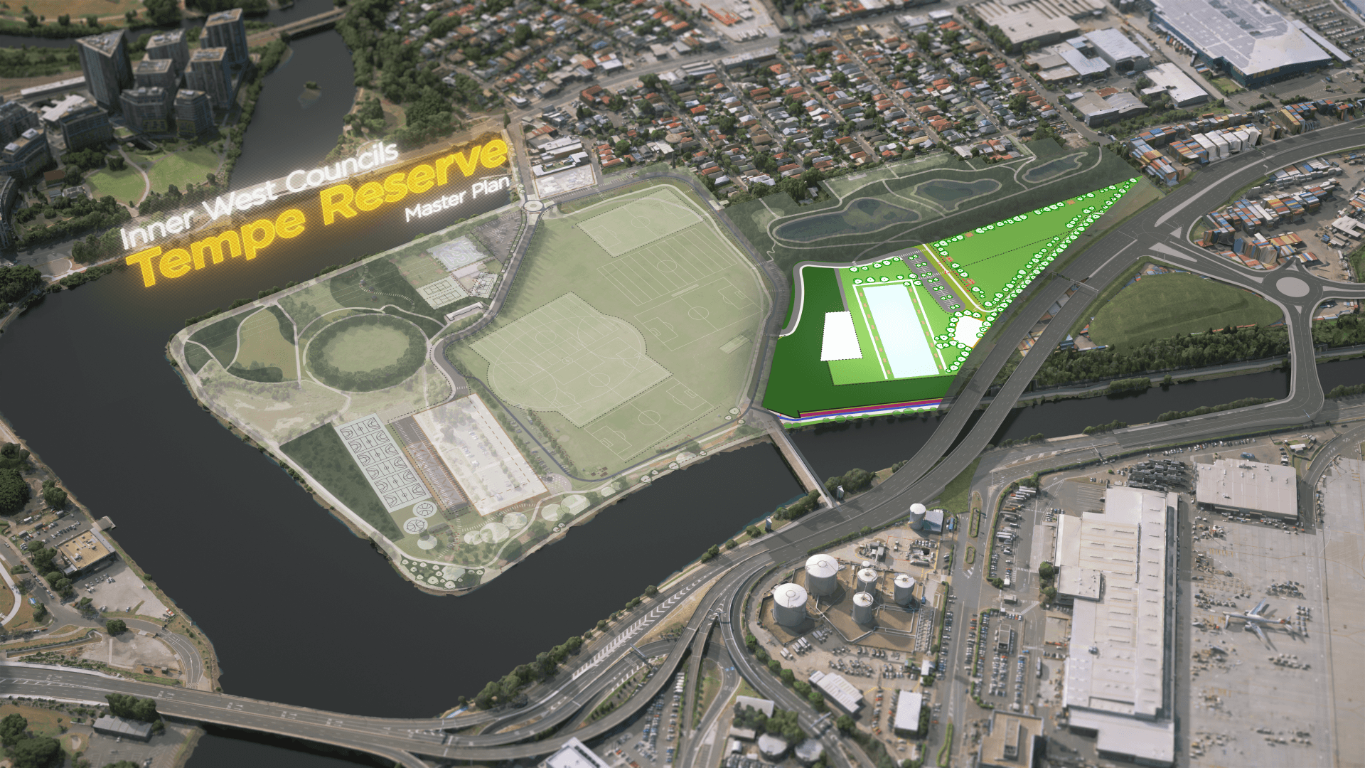
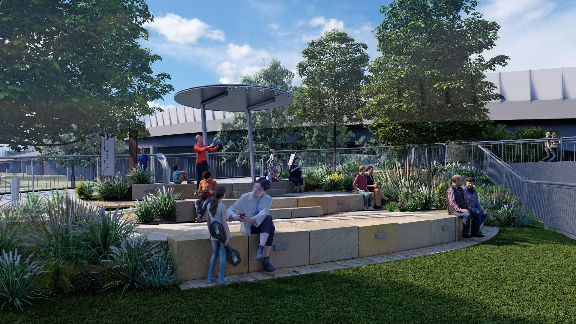
We are working with Inner West Council to give back more open space to the community in Tempe after construction of Sydney Gateway is complete.
Council’s plan includes a multipurpose court (futsal courts), amenities block, walking trails, parking and a fenced off leash dog exercise area.
We want local residents and visitors in Tempe to have access to the things they enjoy after Sydney Gateway is complete, so we are contributing towards the building of these recreation facilities.
Learn more about Inner West Council’s Tempe Reserve Plan of Management and Master Plan. In the plan, you will be able to see what the open space in Tempe will look like once Sydney Gateway is complete.
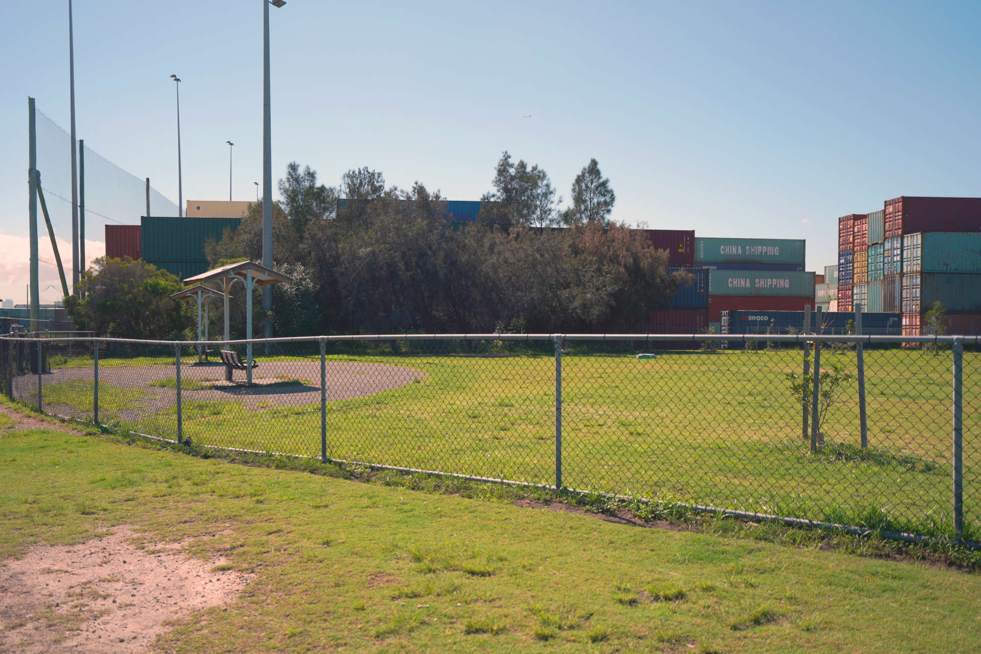
We know the dog park is well used and valued by the local community. During the early stages of construction, the dog park at this location will be moved to a temporary site in the Tempe Reserve
This will be the new location of our temporary dog park during construction. The park includes two fenced areas with a selection of park furniture including water bubblers, rubbish bins and lighting.
In Response to feedback we received from our recent community information session, we have also upgraded the park fencing o a height of 1.8 metres and installed a double-gate entrance and exit for the safety of dogs using the park.
The Tempe dog park will be moving to this location on Saturday 12 June 2021.
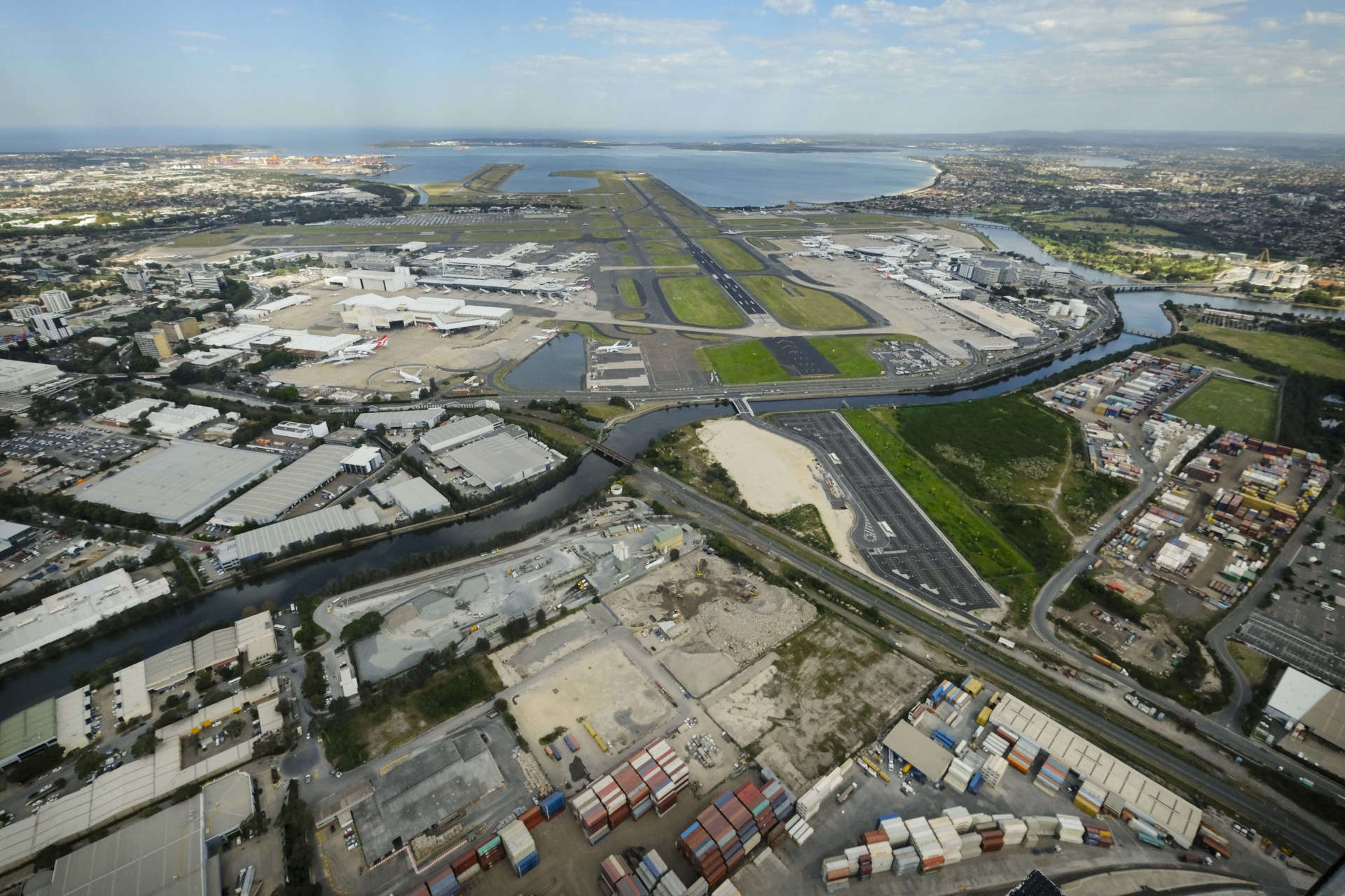
Sydney Gateway will not require any residential property to be acquired to build the project. However, the preferred route will impact some private businesses in the area. We have been engaging with these property owners following the project announcement in September 2018.
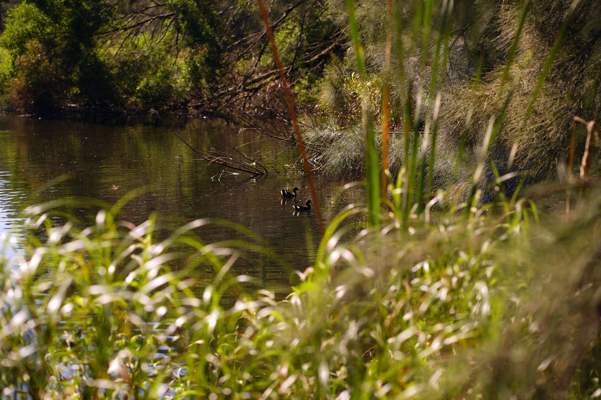
We are carrying out environmental assessments to better understand and address potential impacts on the environment in Tempe.
A number of site investigations have already been completed in and outside of the proposed construction areas to gather information on the geological and chemical makeup of the general project area.
Results from our assessments will shape the controls put in place during and after construction to minimise impacts. The outcomes of our investigations will be available during the exhibition of the Environmental Impact Statement in late 2019.
The preferred route alignment means Sydney Gateway will be constructed on Tempe lands. We are working closely with the Environmental Protection Authority and other experts in this space to seek guidance and advice on the safest way to work in this location.
Mascot is a diverse community comprising of residents, small to large businesses, hotels, tourists and commuters.
We have completed a number of site investigations in Mascot to identify potential impacts such as noise, dust, traffic and flooding during construction and once Sydney Gateway is complete.
Results from our assessments was used to prepare the project’s Environmental Impact Statement (EIS), which was on display in late 2019. You can find the EIS chapters in the ‘latest documents’ section of our interactive portal.
Sydney Gateway will complement existing airport road upgrades by improving traffic flow and access around Sydney Airport and towards Port Botany.
Transport for NSW has completed the Airport East project and Airport North Project. These major upgrades have helped to ease congestion and improve travel times around the airport precinct.
Sydney Gateway has been designed to integrate with these projects to provide vehicles with more reliable and enjoyable journeys.
Visit the Transport for NSW website to learn more about these projects.
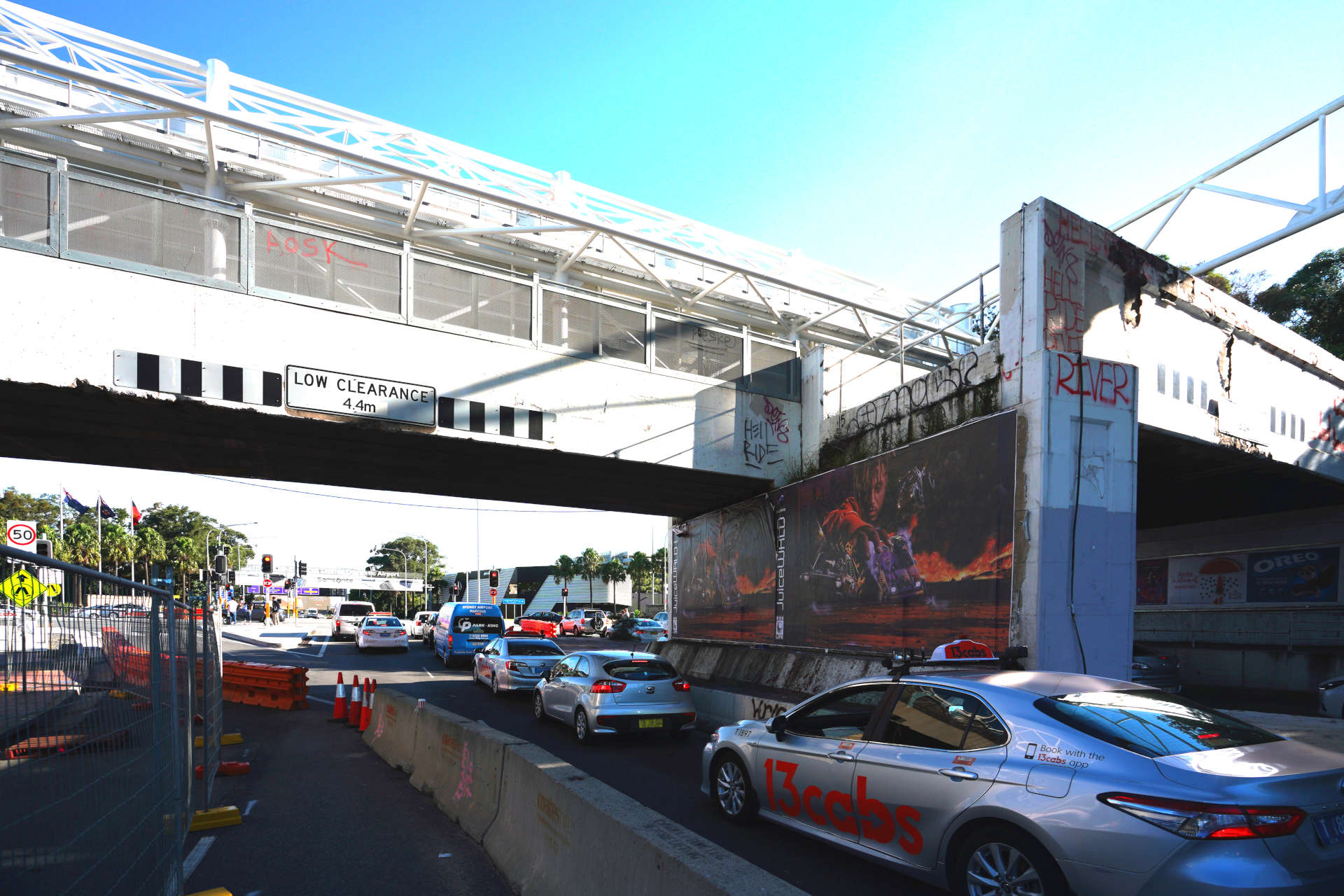
Congestion around Mascot is influenced by a number of factors:
One of Sydney Gateways objectives is to improve the liveability of Mascot by reducing congestion and heavy vehicle movements through the local road network.
Sydney Gateway will achieve this by enabling around 10,000 heavy vehicles to travel on the Sydney Gateway road and Joyce Drive rather than travelling through Mascot.
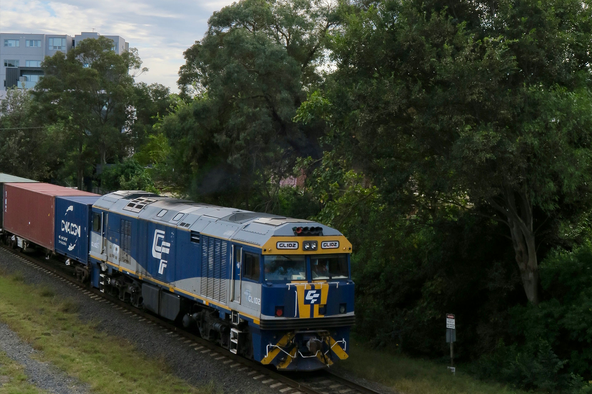
The Australian Rail Track Corporation (ARTC) will duplicate a three-kilometre section of the Botany freight rail line to increase capacity and improve service reliability.
Visit the ARTC website to learn more about the project.
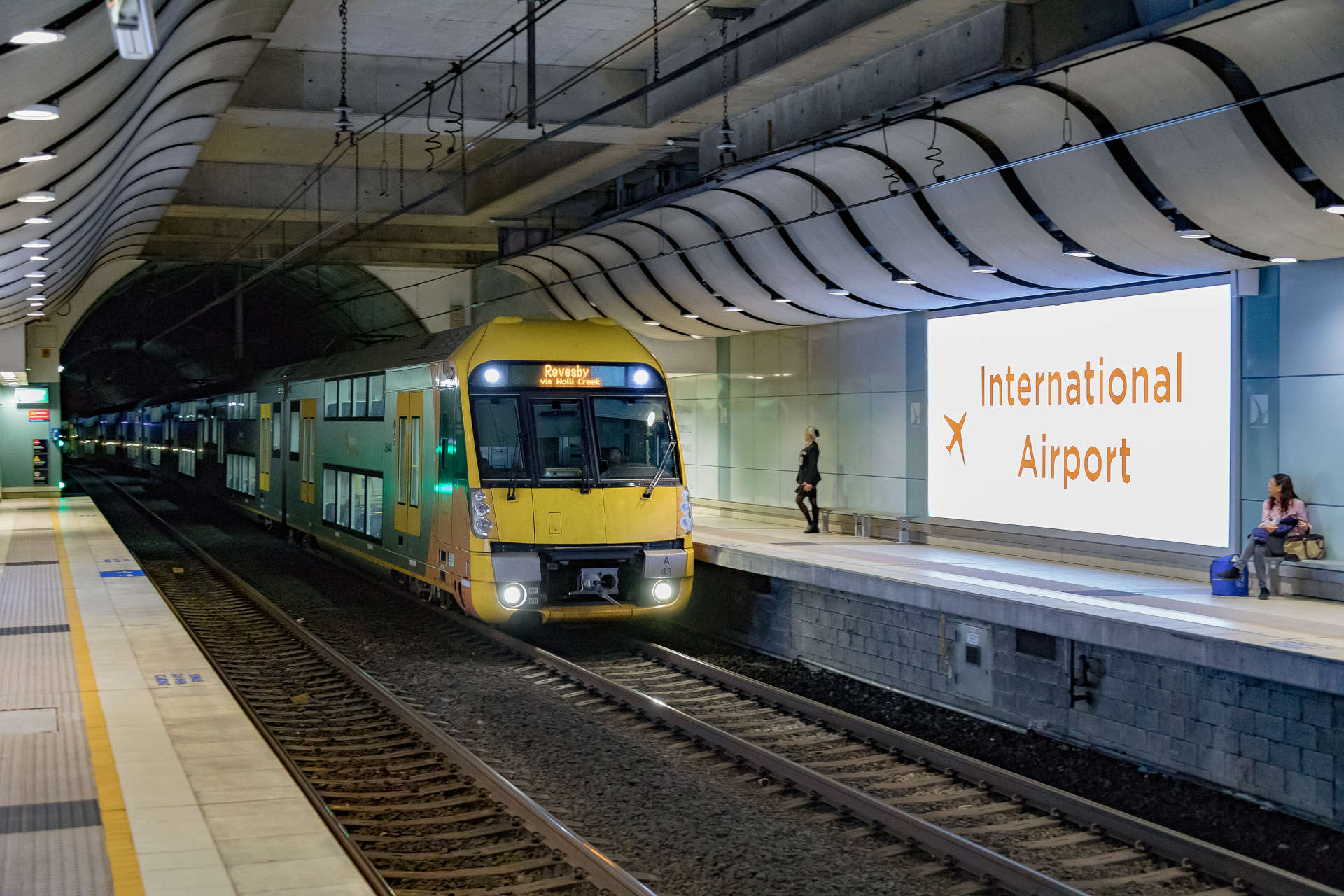
Roads and Maritime, Transport for NSW and Sydney Airport are working together to improve public transport options in the airport precinct.
Passenger trains
Transport for NSW’s ‘More Trains, More Services’ program increased the number of services to Sydney Airport’s train stations, including along the T8 Airport and South Line. It allows eight more services an hour at the International, Domestic, Mascot and Green Square stations.
From the early 2020s, train services will run on average every four minutes instead of every six. This will increase capacity by around 50 per cent to support people travelling to and through the airport.
Public bus services
Transport for NSW’s ‘Sydney’s Bus Future’ program provides improved bus access to Sydney Airport, with better east, west and southern links. This will include a new suburban route between Miranda and Sydney Airport through St George.
Sydney Airport's Ground Transport Interchange will include additional capacity for public transport facilities. Sydney Airport and Transport for NSW will continue to identify other transport solutions for the airport.
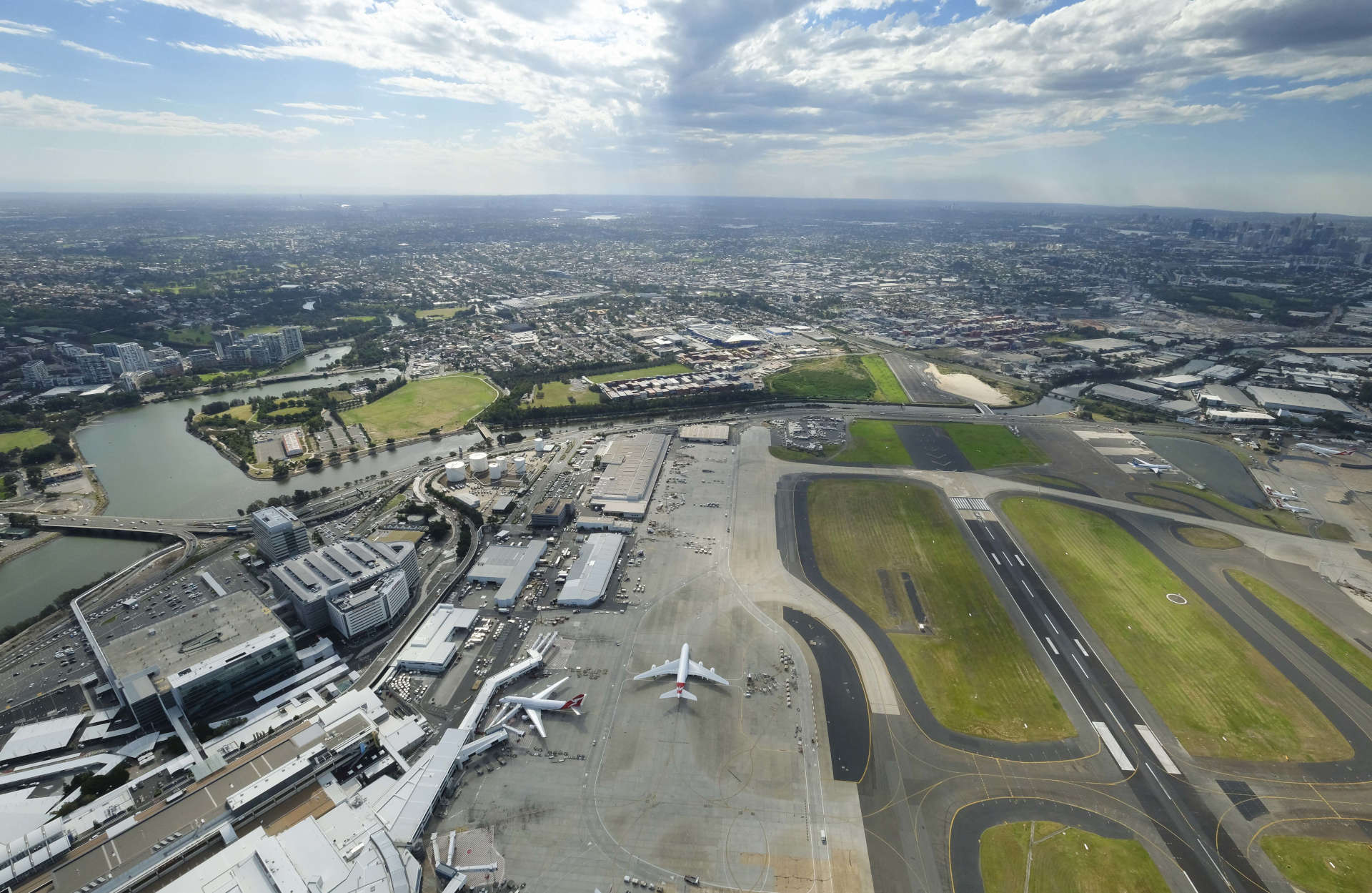
Sydney Gateway will ease congestion, improve safety and provide more choice for how you move around Sydney.
It supports Sydney’s position as a global city providing efficient connections to the city, major hubs and freight terminals across Greater Sydney.
Sydney Gateway will provide a seamless connection to the wider motorway network to make travel easier, faster and safer.
Sydney Gateway will provide a traffic light free journey to Sydney Airport’s Domestic terminals from the M8 and New M4 tunnels via the St Peters Interchange.
People travelling to Sydney Airport from across Greater Sydney will benefit from significant travel time savings.
Sydney Gateway will improve freight connections from Port Botany to freight precincts in Western Sydney.
Sydney Gateway will reduce congestion and transport up to 10,000 trucks a day, helping to reduce heavy vehicles on local roads around Tempe, Mascot and Botany and return streets to local communities.
*Based on journey times in 2026
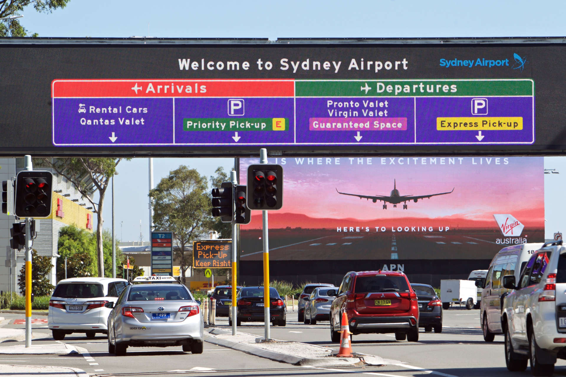
Sydney Gateway will provide new alternative and more reliable routes to Sydney Airport from the St Peters Interchange.
The new toll free road will improve connections between Domestic and International terminals.
The existing Airport Drive will be closed once Sydney Gateway is complete, targeted for the end of 2023.
Airport Drive will be used to support Sydney Airport operations and will not be accessible to the public.
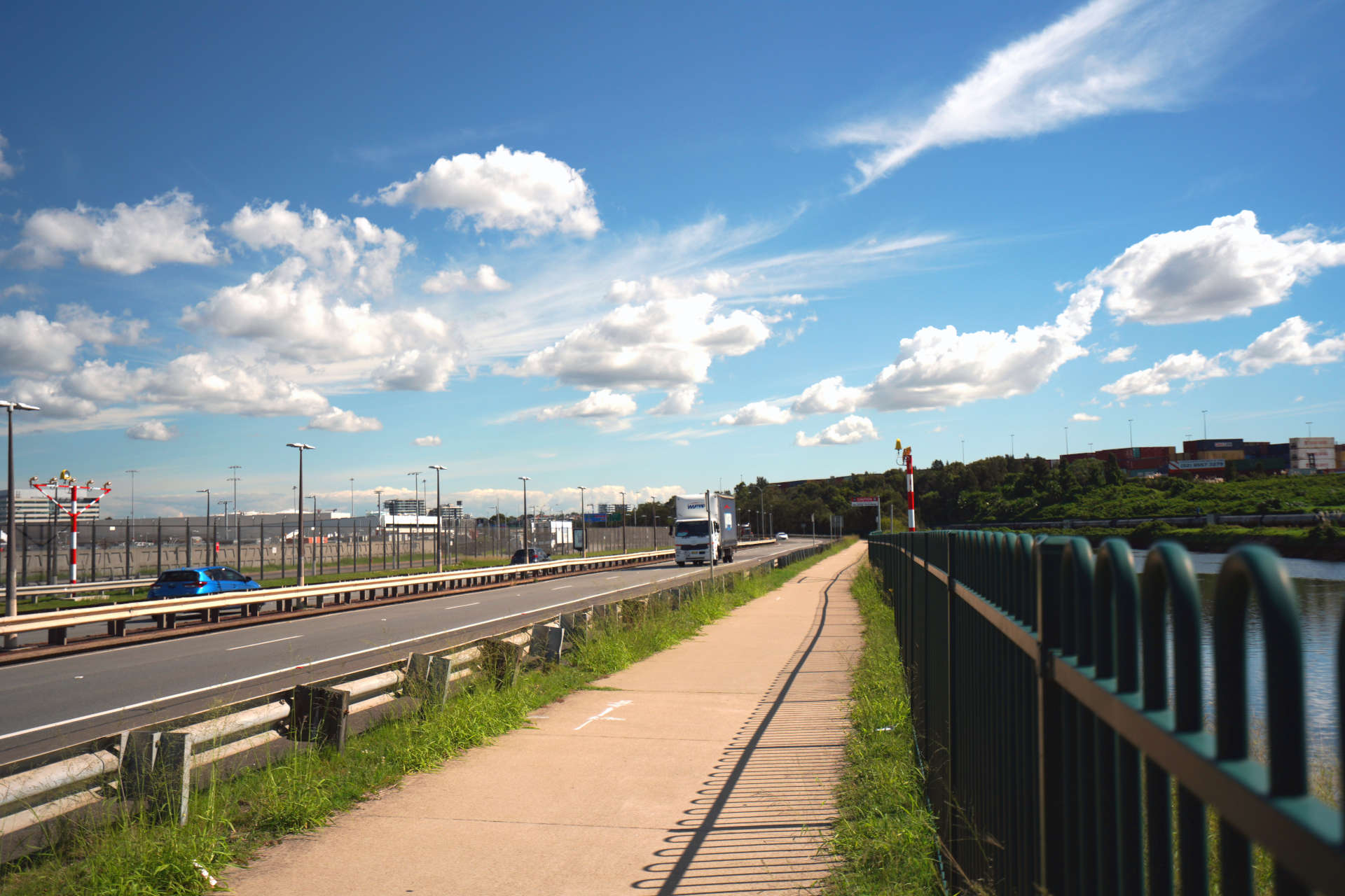
Airport Drive is a road owned by Sydney Airport. It will be closed to the public once Sydney Gateway is complete. Your new journey between the International terminal and the Domestic terminals will be via the new toll-free Sydney Gateway connection.
New Link Road will provide airport freight access and connections to Link Road following the closure of Airport Drive.
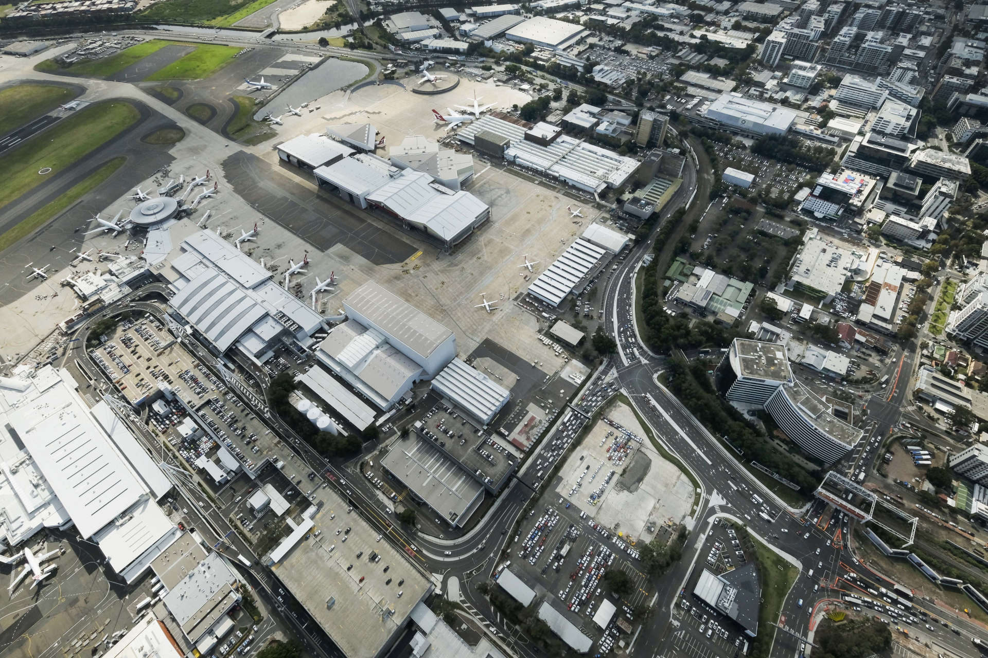
Sydney Gateway will be four lanes in each direction from the St Peters Interchange and have capacity for up to 100,000 vehicles a day.
Qantas Drive will be widened from two to three lanes in each direction to support the growth in visitors to Sydney Airport and increases in freight to Port Botany.
Sydney Gateway is a critical part of the NSW Government’s program of road upgrades to improve access and reliability around Sydney Airport.
A new elevated road, or ‘flyover’, will separate travellers destined for Sydney Airport Domestic terminals from traffic travelling to Port Botany and other destinations. Today, more than half of traffic in the airport precinct are vehicles not travelling to Sydney Airport.
The new flyover from Qantas Drive will provide an effortless connection to the front door of the Domestic precinct and reduce congestion on roads around Sydney Airport.
Sydney Gateway’s new flyover will provide a new dedicated access to the Domestic terminals. It will separate vehicles travelling to the T2 and T3 from traffic heading towards Port Botany and Southern Cross Drive. This will enable travel from St Peters Interchange to the Domestic terminals without stopping at a single traffic light.
The NSW Government is investing a record $87.2 billion on infrastructure to improve how people live, and move around our State.
Part of this investment is on new motorway connections, like Sydney Gateway, to help people get to their destinations safely and on time.
Our city is growing rapidly, and we are spending more time driving and using public transport. To equip our city with the appropriate transport infrastructure, the NSW Government has developed the Future Transport Strategy.
The strategy provides a vision for our future transport system integrating and connecting the network across Greater Sydney.
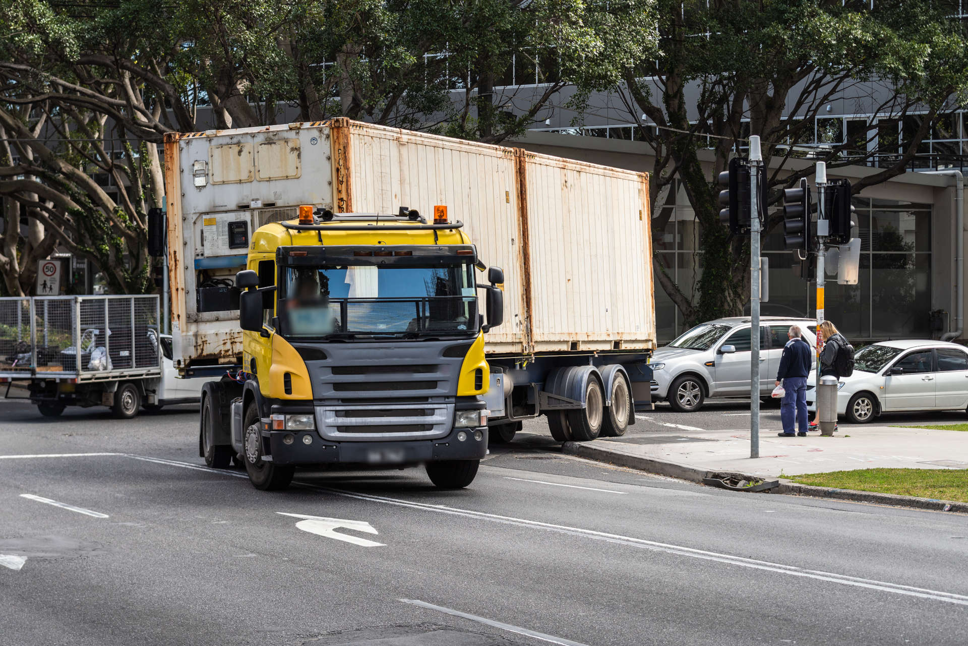
Sydney Gateway will duplicate a three-kilometre section of the Port Botany freight rail line to increase capacity and improve service reliability.
This project will be delivered by Australian Rail Track Corporation (ARTC).
Improved connections to Port Botany and the ability for Sydney Gateway to service up to 10,000 heavy vehicles a day will reduce the trucks on local roads.
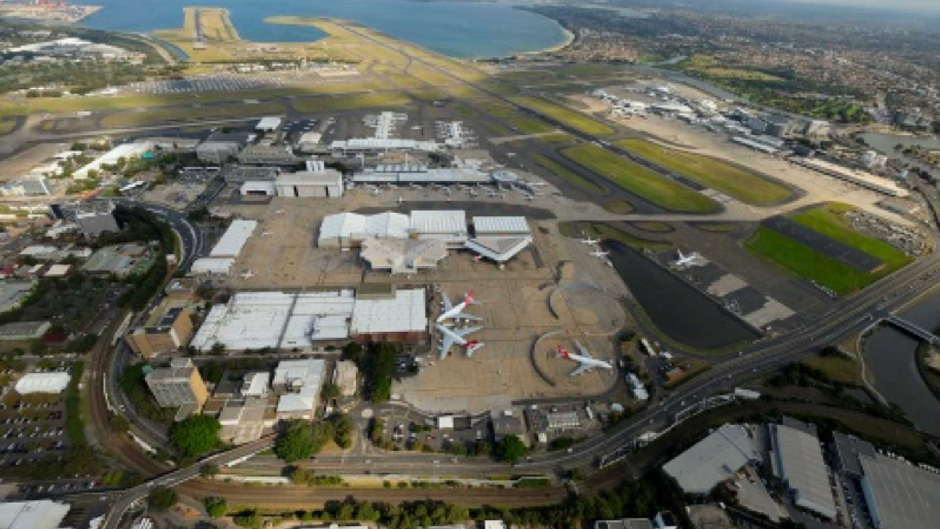
Sydney Gateway will connect to the future Ground Transport Interchange at the domestic precinct. The Ground Transport Interchange will be a multi-deck structure which will:
The Ground Transport Interchange is part of a larger program of ground transport improvements at Sydney Airport. Further information is available in the Sydney Airport Master Plan 2039.

Part of Sydney Gateway is the duplication of the freight rail network - Benefits - Link to ARTC website.

During construction, Sydney Gateway will establish a number of temporary construction sites to service different areas of the project and support the delivery of Sydney Gateway.
These sites are used as a base for construction activities, including the storage of equipment and materials, site offices and worker facilities.
A key consideration for these sites was to minimise impacts to local communities and traffic. Sites are being selected based on:
Further information about the locations and function of each construction site will be available for review and comment during the exhibition of the Environmental Impact Statement in late 2019.


During construction, Sydney Gateway will establish a number of temporary construction sites to service different areas of the project and support the delivery of Sydney Gateway.
These sites are used as a base for construction activities, including the storage of equipment and materials, site offices and worker facilities.
A key consideration for these sites was to minimise impacts to local communities and traffic. Sites were also selected based on:
Further information about the locations and function of each construction site will be available for review and comment during the exhibition of the joint EIS/MDP at the end of 2019.
We are working with key stakeholders to develop construction approaches which minimise traffic disruption, and protect the safety of motorists, workers and the public.
We will also widen Qantas Drive at Lancastrian Road from two to three lanes in each direction to improve traffic flow and reduce congestion in Mascot.
We will be widening Qantas Drive from two to three lanes in each direction to improve traffic flow and reduce congestion in Mascot. We are staging these works to ensure the existing two lanes on Qantas Drive and Airport Drive are maintained during construction.

Transport for NSW considered a number of route options to successfully link Sydney Airport Domestic and International terminals with the St Peters Interchange and the wider Sydney motorway network. Its priority was also to minimise impacts to privately owned land and the environment.
After considering the land composition, existing road and rail networks, Alexandra Canal and air safety requirements, the proposed route is the best long-term transport solution.
While all feedback from the community will be considered, the preferred route for the project has been driven by a range of factors that greatly limit options to influence the proposed route alignment.
Airport Drive is a road owned by Sydney Airport. It will be closed to the public once Sydney Gateway is complete. Your new journey between the International terminal and the Domestic terminals will be via the new toll-free Sydney Gateway connection.
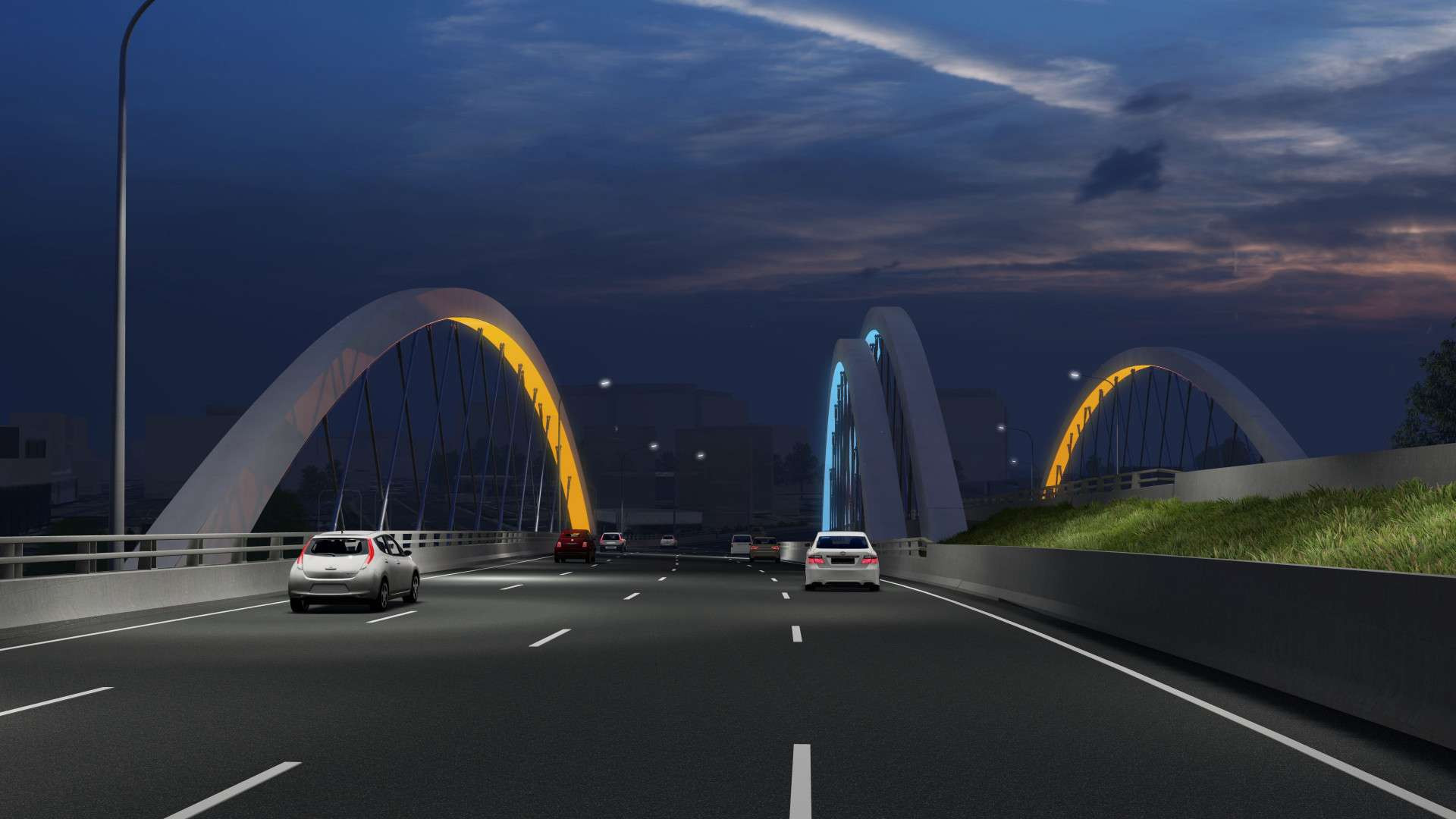
Sydney Gateway is an above ground road which requires the construction of multiple bridges.
These bridges will enable direct connections from St Peters Interchange to the Domestic and International terminals and safely pass over Canal Road, the Botany freight rail line and Alexandra Canal.
The bridge connections to the International terminal will provide up to four lanes in each direction, similar in width to the Anzac Bridge.
The freight bridge will be two lanes in each direction over Alexandra Canal. It will provide dedicated access for airport freight vehicles into Link Road.
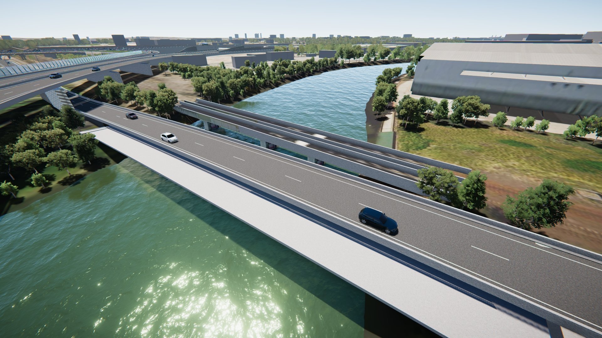
Sydney Gateway is an above ground road which will require the construction of multiple bridges.
The bridges will enable direct connections from St Peters Interchange to the Domestic and International terminals and safely pass over Canal Road, the Botany freight rail line and Alexandra Canal.
The bridge connections from the International to Domestic terminals will be two lanes.
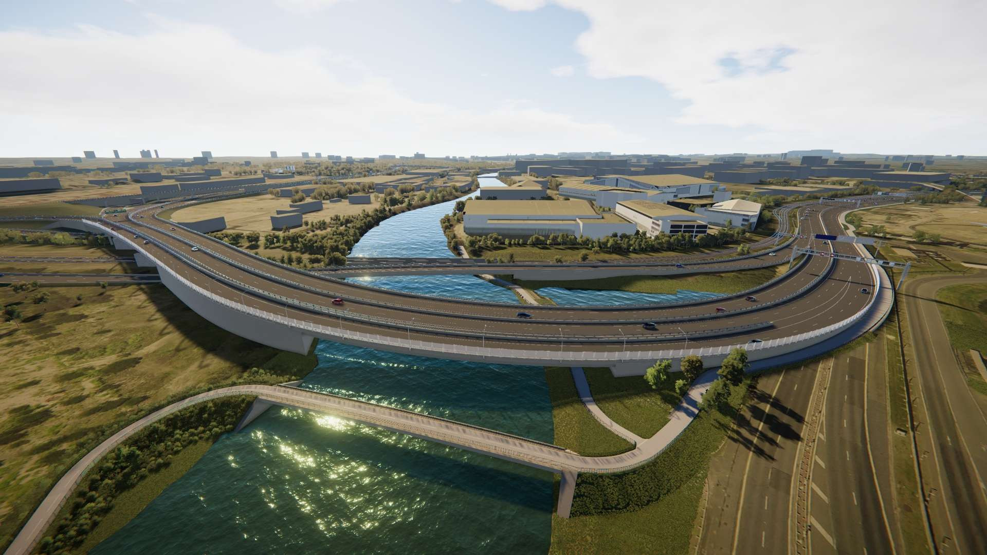
Sydney Gateway is an above ground road which requires the construction of multiple bridges.
These bridges will enable direct connections from St Peters Interchange to the Domestic and International terminals and safely pass over Canal Road, the Botany freight rail line and Alexandra Canal.
Bridge connections to and from the Domestic terminals will provide up to four lanes in each direction
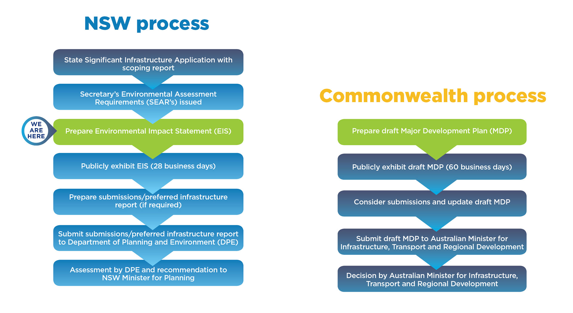
Sydney Gateway is unlike most other major road projects in NSW as it passes through both Sydney Airport land, owned by the Commonwealth, and other land under the jurisdiction of NSW. As a result, Sydney Gateway will require approval under both NSW and Commonwealth government legislations.
Under the NSW planning process next steps will include preparing an Environmental Impact Statement (EIS) and under the Commonwealth planning process, A Major Development Plan (MDP).
The EIS describes the key features of the project and assesses its potential environmental and social impacts during construction and operation. The information within the EIS goes on public exhibition for a minimum of 28 business days. The length of exhibition is determined by the NSW Department of Planning and Environment (DPE).
Sydney Gateway’s MDP is a proposal for major airport development and is being prepared on behalf of Sydney Airport. The information will be on display for a minimum of 60 business days.
We welcome your feedback at all stages of the planning process.
Sydney Gateway is being built on both Commonwealth and NSW Government land, to service two of Australia’s largest international gateways - Sydney Airport and Port Botany.
In developing the Concept Design for Sydney Gateway, a number of factors have been considered, including the needs of local residents and businesses, the composition of the land, potential impacts to surrounding environments, and its ability to support future growth in Mascot and Botany.
We are carrying out a wide range of assessments to help inform our Environmental Impact Statement (EIS) and understand what mitigation measures may need to be taken. This includes:
The findings from these assessments, in combination with your feedback, will continue to shape the development of Sydney Gateway.
All members of the public and businesses will have the opportunity to provide important feedback during the exhibition of the joint Environmental Impact Statement and Major Development Plan in late 2019.

Some overflow parking would be maintained in the location north of Alexandra Canal throughout construction.

The new Link Road will be constructed as part of Sydney Gateway including a bridge across the Alexandra Canal. The new road will provide a dedicated freight access to Sydney Airport freight precinct.
Sydney Airport has a train station at the Domestic terminal and International terminal that connect to Sydney CBD. There will be no impact to train services from Sydney Gateway.
Transport for NSW has introduced the ‘More trains, More services’ program to increase the number of services to Sydney Airport’s train stations.. From the early 2020’s, train services will run on average every four minutes instead of every six. This will increase capacity by around 50 per cent to support your journeys to and from the airport.
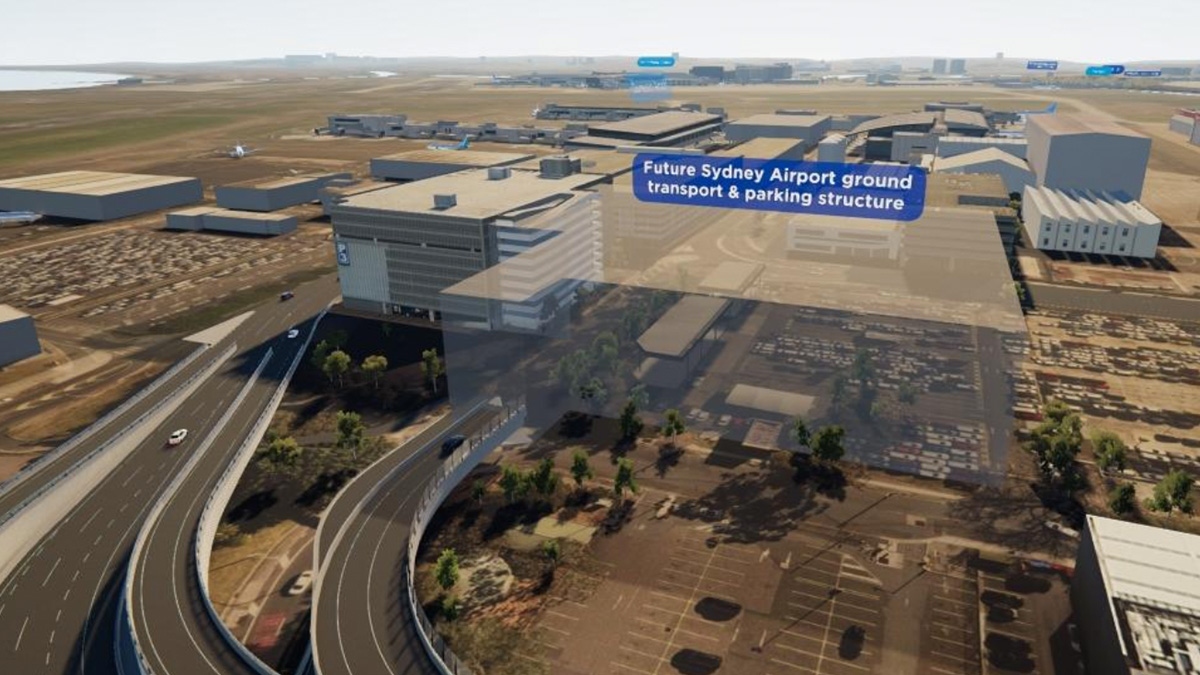
Sydney Gateway will connect to the future ground transport interchange at the Domestic precinct. This will be a multi-purpose structure which will provide:
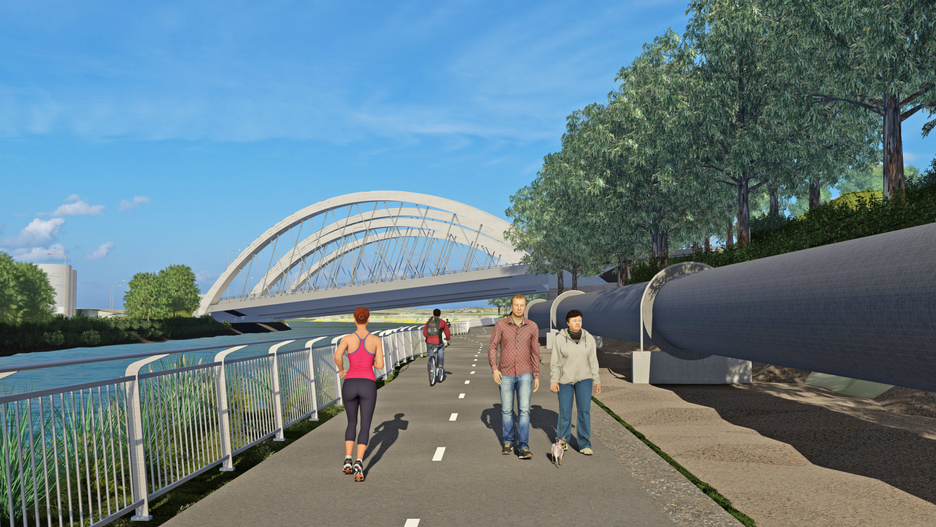
We will provide a temporary route to allow cyclists and pedestrians to continue to walk, run and ride safely while we build. Our temporary routes will be built to the standards of permanent pathways. We will have more information on this as we move into construction.
We will provide a temporary route to allow cyclists and pedestrians to continue to walk, run and ride safely while we build. The temporary shared path will be in place until the permanent route opens.

Sydney Gateway will remove the right turn onto Sir Reginald Ansett Drive to improve traffic movements around the Domestic terminals.
A new right turn onto Ross Smith Avenue is being installed on Joyce Drive.


The M8 provides twin underground tunnels, nine kilometres long, from Kingsgrove to St Peters Interchange. It will also include connections to Sydney Gateway and M4-M5 Link.
The M4-M5 Link Tunnels project features twin tunnels between the New M4 at Haberfield and the M8 at St Peters and will be open to traffic in 2023.
Mascot intersection upgrades will help reduce congestion at five intersections in Mascot improving heavy vehicle movements in the area. Plans include lane realignments, changed median strips and footpaths, new pedestrian crossings and changes to traffic lights and signs. Construction will be delivered in stages for each intersection.
Transport for NSW will upgrade Mascot Train Station to improve the flow of customers and reduce crowding around the station. They will add a new entrance and exit on the western side of Bourke Street.
Transport for NSW is upgrading the power supply to support an increase to the number of services operating through the T8 Airport Line tunnel, and support the introduction of the new fleet of trains operating along the T8 Airport Rail Line.
Sydney Gateway will complement existing Airport North upgrades by improving traffic flow and access around the Domestic precinct and Port Botany.
Sydney Gateway will complement existing Airport East upgrades by improving traffic flow and access around the Domestic precinct and Port Botany.
We are working closely with the Australian Rail Track Corporation (ARTC) and Sydney Trains to help them carry out work on the Botany Rail Line. The project will increase capacity, flexibility and reliability for freight customers by duplicating the remaining section of the existing single line freight track between Mascot and Botany.
We will add an additional turning lane on Qantas Drive for vehicles turning left onto Robey Street. This will help improve traffic flow and ease congestion.
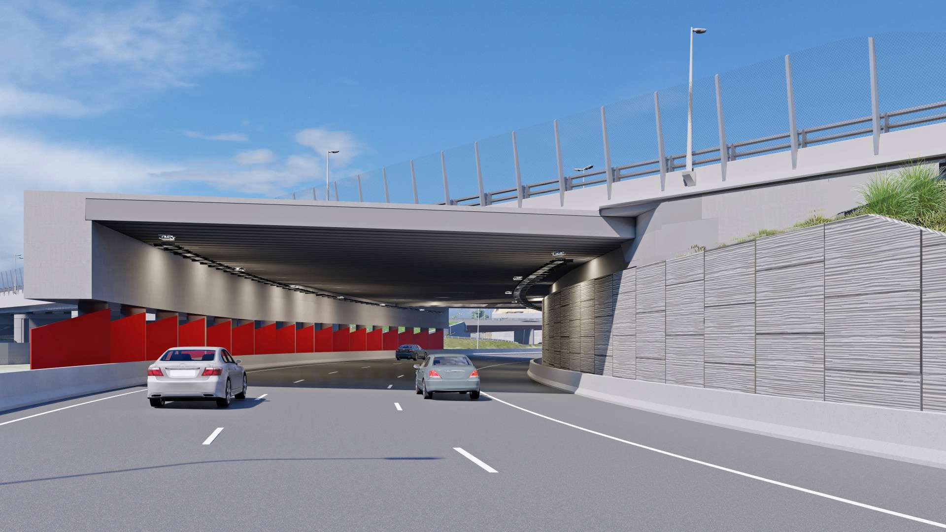
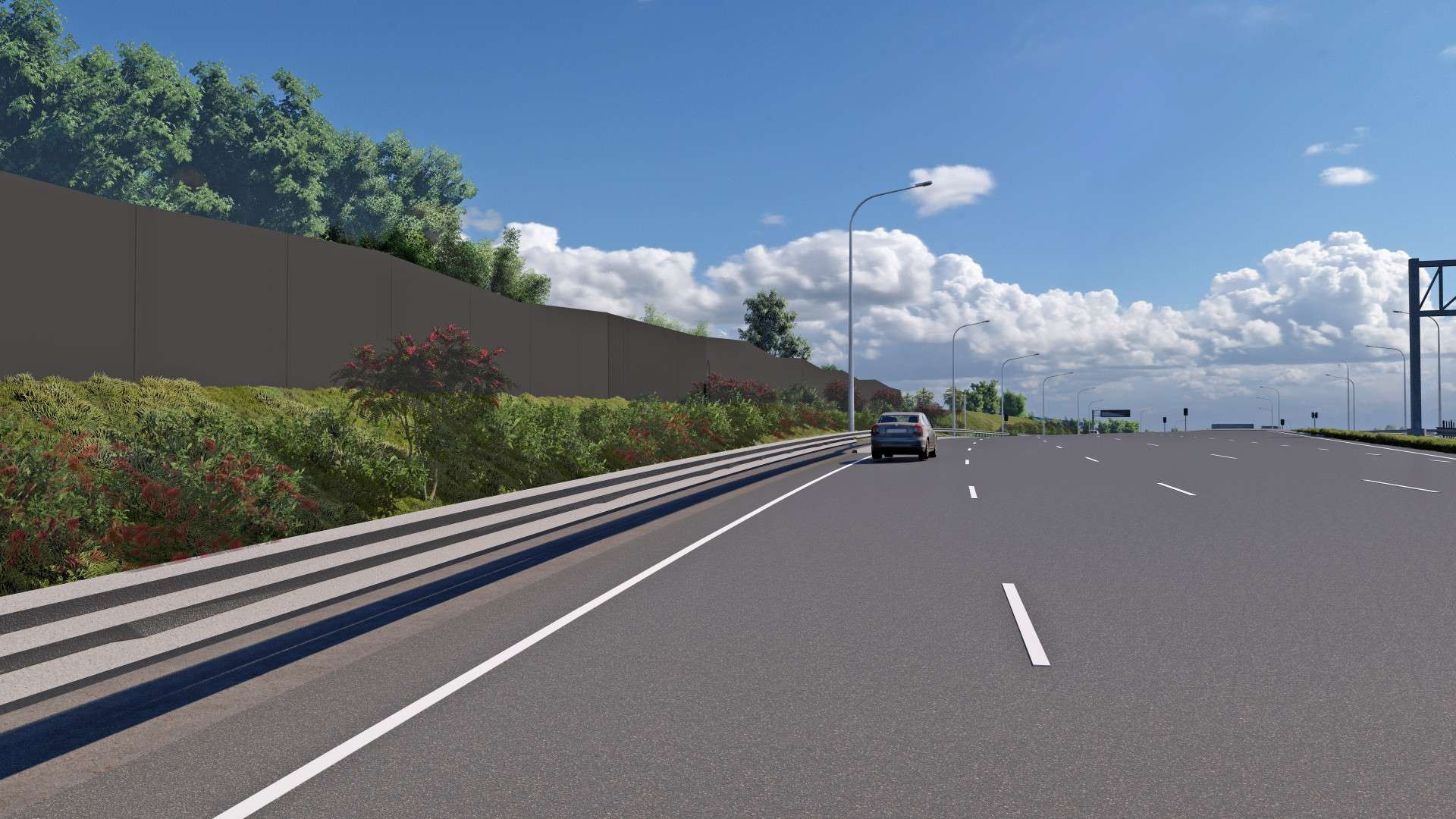
Proposed location of noise wall in Tempe Lands. This will help minimise noise impacts to Tempe residents once the road is open to traffic.

To make way for the construction of the new dedicated Link Road connection, we will be permanently closing the pedestrian crossing to Link Road mid-September 2021. The new way to access Link Road will be from the Airport Drive shared pedestrian and cycle path. The new route includes an additional 1km (5-15 minutes) walk or ride to the Link Road businesses.
For more information download our work notification here.
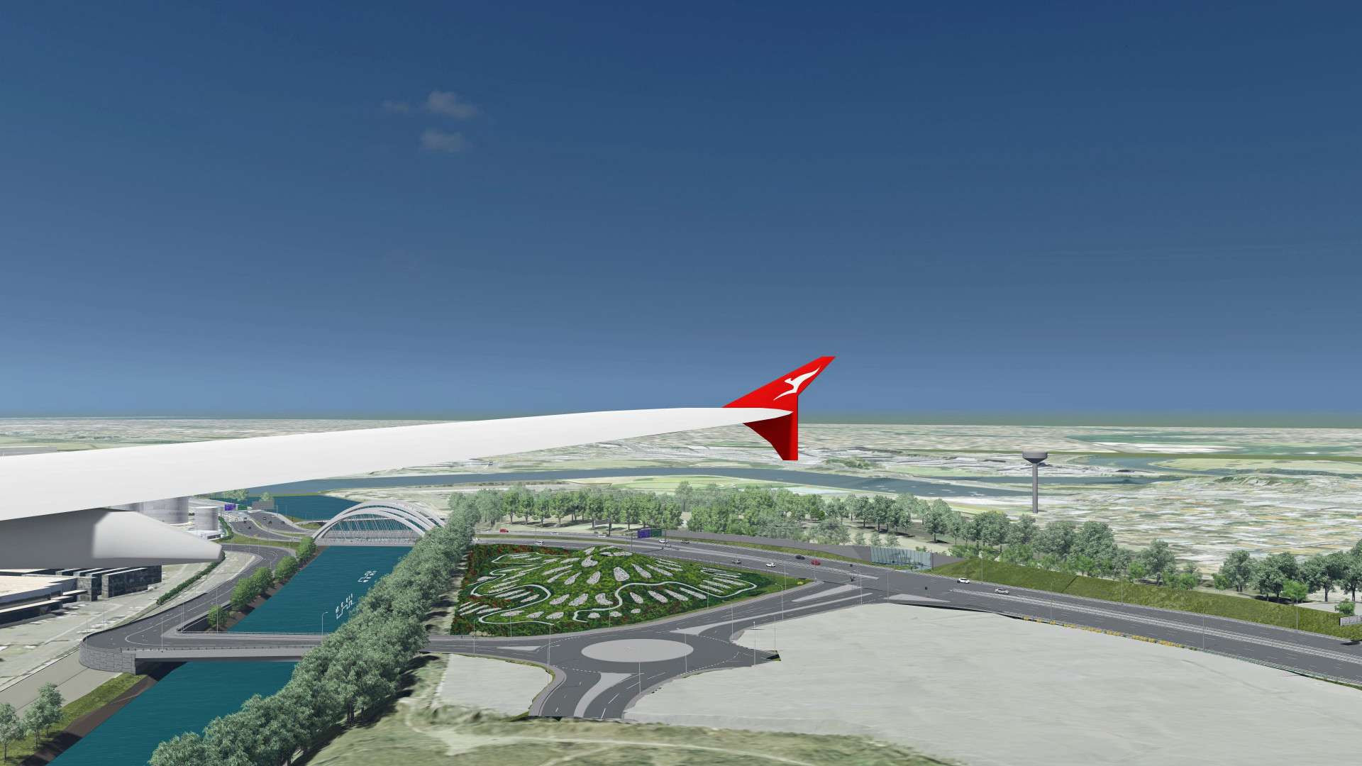
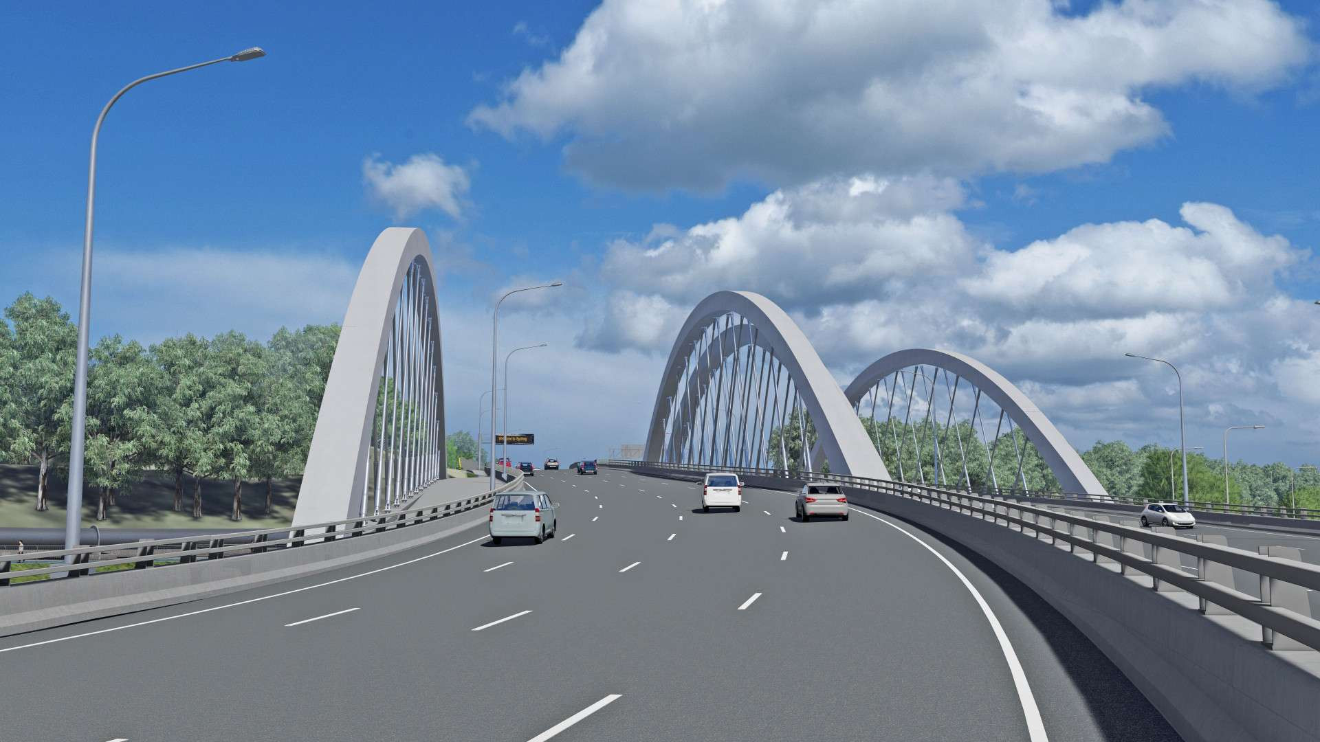

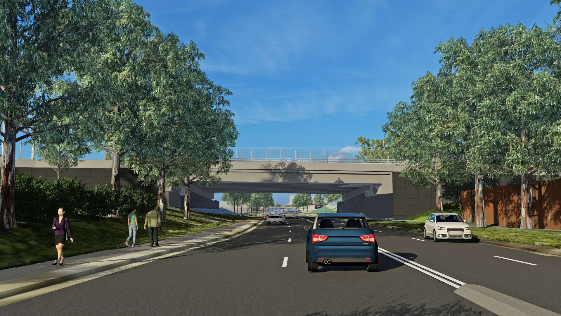

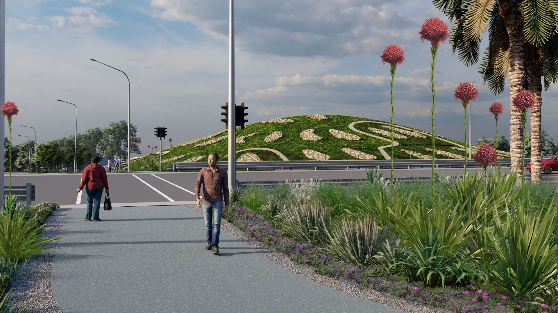
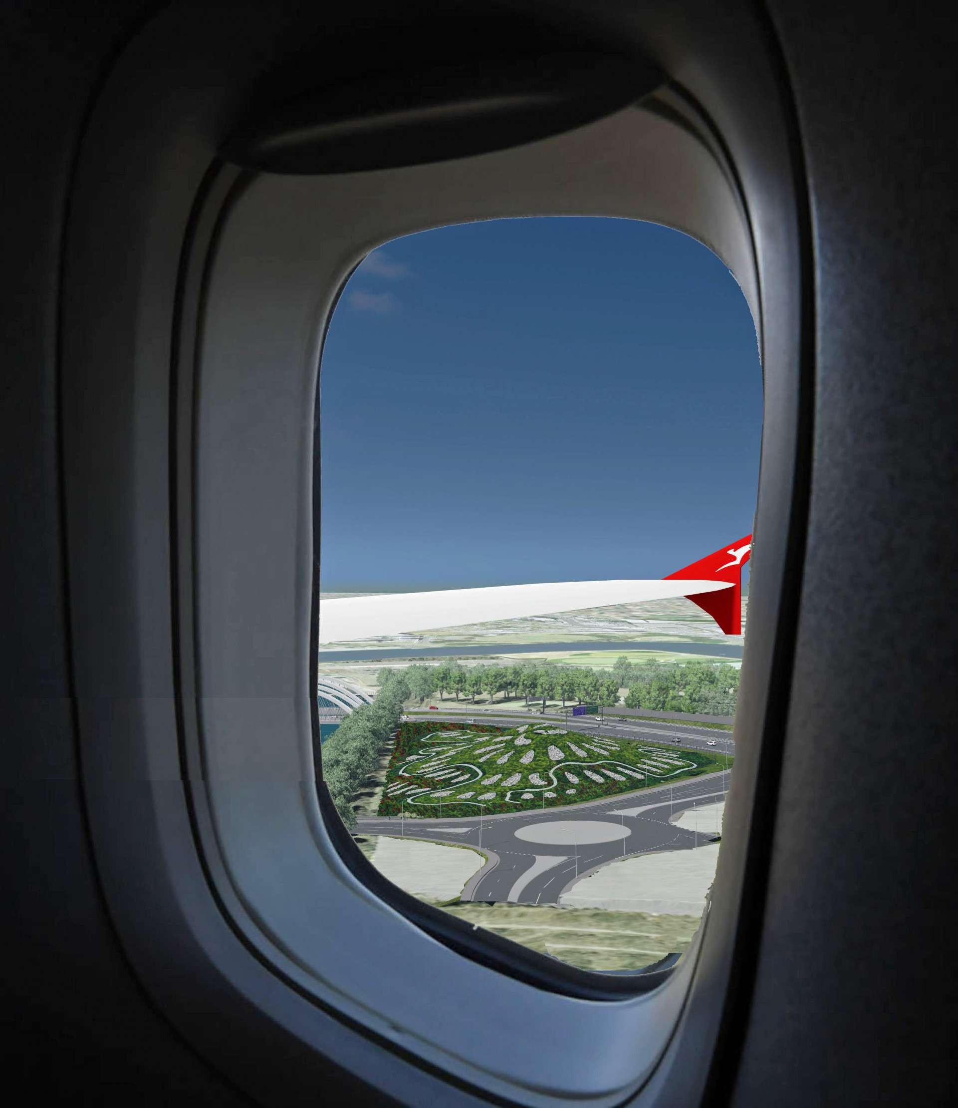
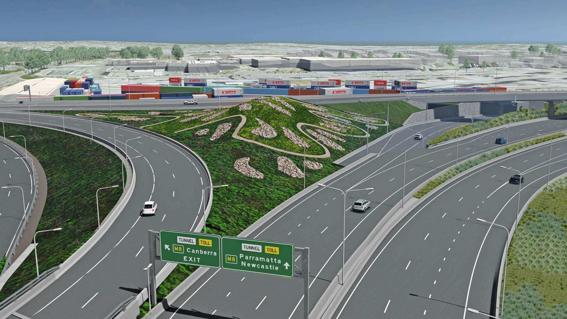

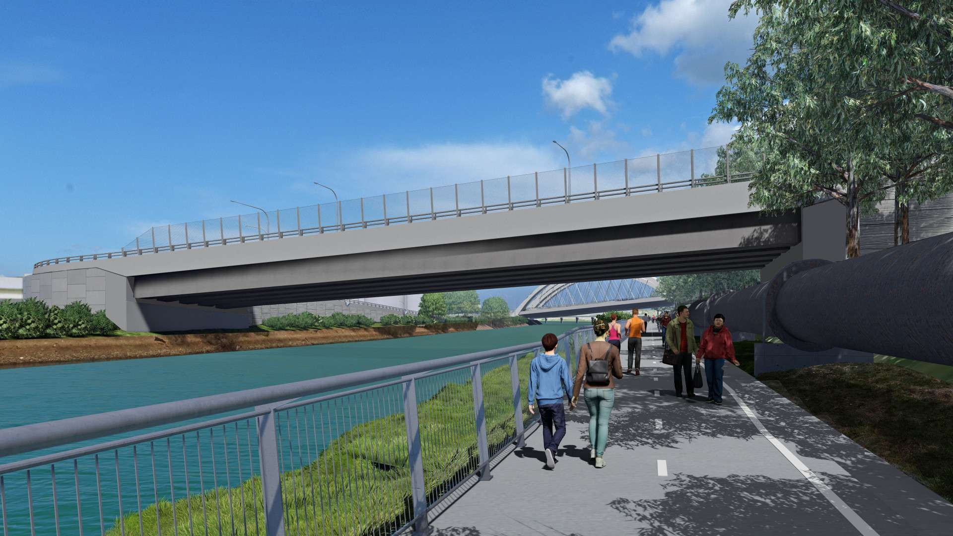

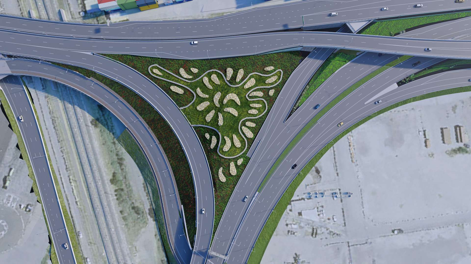
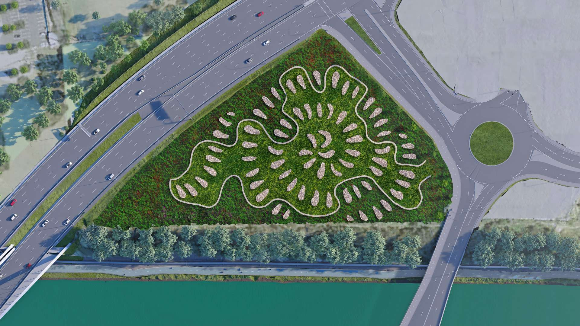


This map displays the current construction activities for the project, and is constantly updated.
Select a hotspot from the map or the left sidebar to review the notification. You can also download the notification and add the work time to your calendar.
Please revisit or bookmark this page for the latest information, sign up for project notifications here.
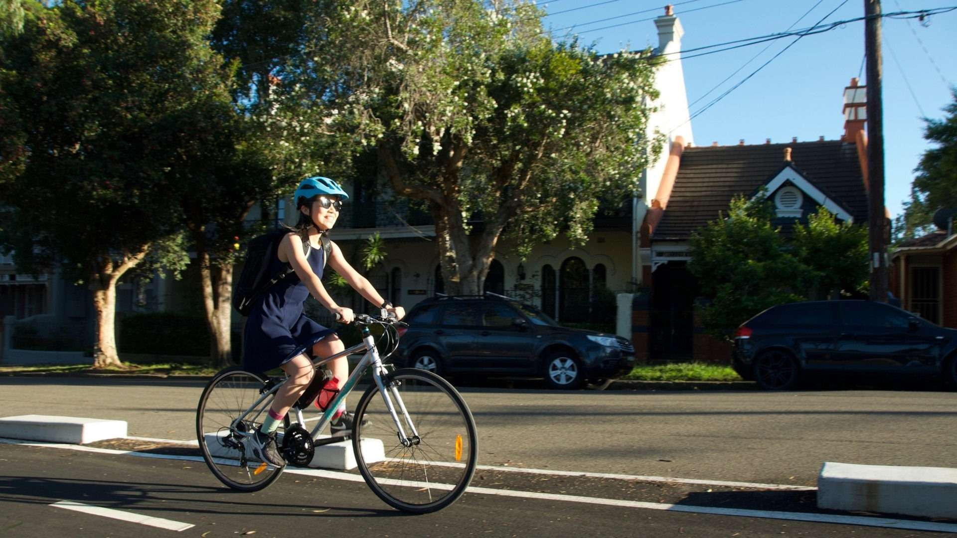
Have your say and learn more about transport-related programs and initiatives in the Inner West. Join the conversation with our teams, featuring speakers from Sydney Gateway, Sydney Park Junction, M4/M5 and more. This is your chance to ask us about changes in your area and what matters to you.
In this session we’ll be featuring guest speakers behind the urban and First Nation design for the Sydney Gateway project.
Inner West Transport Community Forum - Feb 2022 (facebook.com)
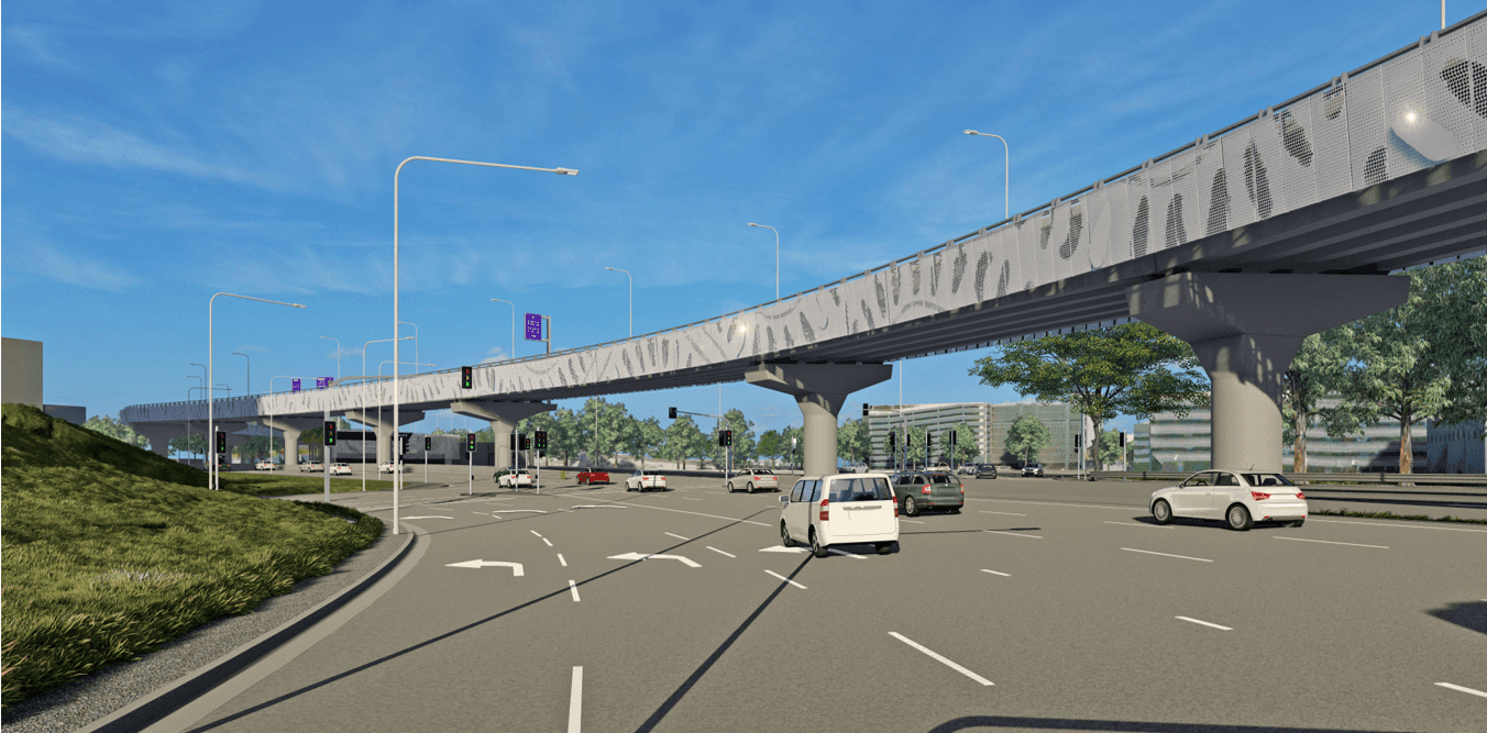
About this event
Join our team to learn more about Sydney Gateway and changes to how you move around the airport precinct. The focus of this session will be on our work around the Domestic Terminals and near Mascot.
The Livestream event is on Tuesday 26 April from 6pm to 7pm and will be hosted by the Sydney Gateway project team.
You will be able to ask questions during the session using the chat function.
A link will be emailed to you separately following your registration for this event.
We look forward to you joining us.
Click this link to register for the event.
Sydney Gateway Online Community Information Session Tickets, Tue 26/04/2022 at 6:00 pm | Eventbrite
We will be holding a number of information and drop-in sessions in Mascot, Tempe and Wolli Creek from November to December 2019 to talk to you more about our planning process and our combined EIS/ MDP on public exhibition.
At our sessions there will be an opportunity for you to meet members of the Sydney Gateway project team, provide comments and have your questions answered about our project.
You can drop in any time to meet us at the sessions listed below.
We value your feedback on Sydney Gateway using this interactive map.
Your feedback will continue to shape the project ahead of the Environmental Impact Statement (EIS) and Major Development Plan (MDP) consultation planned for late 2019.
Click anywhere in the project area on the map to leave your comment.
Note: Comments will not be responded to directly. Please contact our team with any questions.
Your comment will be reviewed by the Sydney Gateway team before appearing on the map.
Use the email address below to ask the project team a question about Sydney Gateway or any aspect of the project. Alternatively, please call 1800 654 446.
Consultation on the concept design officially closed Sunday 23 June.
Come and meet the team and learn more about the project.
We welcome your feedback throughout all stages of the planning process of Sydney Gateway and look forward to your thoughts on the concept design.
We will be in the community, to understand the needs of local residents and businesses.
We are committed to improving open space at Tempe Lands after construction. A landscape plan will be developed in consultation with the community and Inner West Council. Please provide your feedback on how you would like Tempe Lands to be used in the future.
The preliminary draft Major Development Plan (MDP) is also on exhibition for Sydney Gateway because Sydney Airport is built on Commonwealth land. Approval is required under both NSW and Commonwealth government legislation.
The MDP is on exhibition for 60 days from 20 November to 21 February 2020 to provide the community and stakeholders with an opportunity to make comment on the project.
Sydney Airport Corporation will consider all submissions received on the draft MDP. On behalf of Sydney Airport Corporation, Roads and Maritime will prepare a Supplementary Report considering the issues raised and how they will be managed. The report will be submitted to the Minister for Infrastructure and Regional Development for determination.
The EIS describes Sydney Gateway’s key features and assesses the potential environmental impacts during construction and operation.The EIS also recommends measures to manage and minimise potential impacts from the project.
In the EIS, we cover topics such as traffic and transport, air quality, noise and vibration, construction and biodiversity impacts.
The NSW Department of Planning, Industry and Environment (DPIE) has placed the EIS on exhibition from 20 November to 19 December 2019. Everyone has the opportunity to make a submission on the EIS.

Sydney Gateway passes through both Sydney Airport land, owned by the Commonwealth, and State land under the jurisdiction of the NSW Government.
As a result the project requires two planning approvals to move forward:
You can make submissions about the proposed project under the NSW or Commonwealth planning process, or both.
Thank you to everyone who made a submission during the MDP process. A Submission Report is now being prepared. The MDP exhibition is now closed.
Thank you to everyone who made a submission during the EIS process. A Submission Report is now being prepared. The EIS exhibition is now closed.
Select the topics you are interested in reading about
Select from topics of interest above

Place, Design & Landscape Plan public exhibition period closed.
The Sydney Gateway Place, Design & Landscape Plan (PDLP) public exhibition period has now ended. Our PDLP has been on public display from 21 September to 18 October 2021.
Your feedback is important to us and we thank you for providing your formal submissions, feedback, comments and suggestions. Your submission is important to us and we will review each one that we receive. We will make changes to the PDLP where possible, as long as it doesn’t impact the strict standards and requirements that we need to meet. We will provide an updated copy of the PDLP to the Department of Planning, Industry and Environment for their approval.
The final approved PDLP will be available on our website – nswroads.work/SydneyGateway.
In the meantime, if you have any questions about the project please contact us.
You can still visit our Virtual Room to learn more about our PDLP and see our latest artist impressions.